Mokelumne Coast to Crest Trail
- 2.6 mi
- round trip
- 1,276 ft
- climb
- 395 ft
- high point
- Out and back
- route
- Oct–May
- best months
Caution today
Weather is marginal · OpenWeather · checked just now
The Mokelumne Coast to Crest Trail is a moderate out-and-back hike in California, on land managed as Regional Agency Land and marked as Ebmud in the land unit records. The trail is about 5.3 miles long, with a steady climb from a low point of 245 feet to a high point of 395 feet, and the total elevation gain for the round trip is about 1,276 feet. The most challenging stretch comes early on, where the trail rises about 10% grade at the 0.15 mile mark. Spring and fall are the most comfortable times to go. Typical averages from a nearby weather station at Camp Pardee put May highs around 79°F with lows near 53°F, and October highs around 78°F. Midsummer is much hotter, with July highs near 95°F. Snow is essentially absent year-round. The trip takes about 2.5 hours. A hiking-only version of the trail, the Mokelumne Coast to Crest Trail (Hiking Only), starts about 0.7 miles away. Oak Knoll Campground and Acorn Campground are both within about 6 miles. Jackson Creek, a canoeing spot, is roughly 7 miles off.
- Mokelumne Coast to Crest Trail (Hiking Only)Hiking0.7 mi
- Oak Knoll CampgroundCamping5.2 mi
 Acorn CampgroundCampingPhoto: Recreation.gov (RIDB) / public domain5.6 mi
- Jackson CreekCanoeing7.2 mi
Source: Roamze catalog (indexable pages within 10 miles, PostGIS distance)
 Carson Creek TrailHiking · ~42 min drivePhoto: cogdogblog, CC BY 2.0 (via Flickr)
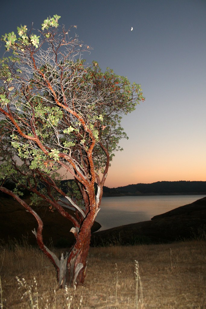 Heron Point TrailHiking · ~44 min drivePhoto: Genista, CC BY-SA 2.0 (via Flickr)
- Redtail TrailHiking · ~45 min drivePhoto: Genista, CC BY-SA 2.0 (via Flickr)
- Mokelumne Coast to Crest TrailHiking · ~4 min drive
 Elliots CabinHiking · ~48 min drivePhoto: Northwest Rafting Company, CC BY 2.0 (via Flickr)
- Mokelumne Coast to Crest Trail (Hiking Only)Hiking · ~1 min drive
- Black Bear Loop TrailHiking · ~45 min drivePhoto: Genista, CC BY-SA 2.0 (via Flickr)
- Mokelumne Coast to Crest TrailHiking · ~1 min drive
- Mokelumne Coast to Crest Trail (Hiking Only)Hiking · ~17 min drive
 Ringneck Run TrailHiking · ~45 min drivePhoto: adrielhampton, CC BY 2.0 (via Flickr)
Best time to visit Mokelumne Coast to Crest Trail
Best months: October–May. Best months have typical highs of 55–85 °F, lows of 30 °F or warmer (32 °F where the station doesn't record snow), at most one snowy day and no more than 12 wet days.
Jan
55° / 40°
11 wet
Feb
59° / 43°
10 wet
Mar
64° / 45°
10 wet
Apr
69° / 48°
7 wet
May
79° / 53°
4 wet
Jun
88° / 58°
1 wet
Jul
95° / 63°
0 wet
Aug
94° / 63°
0 wet
Sep
88° / 60°
1 wet
Oct
78° / 54°
3 wet
Nov
64° / 46°
7 wet
Dec
55° / 40°
11 wet
Typical high / low (°F) and days with rain or snow, 1991–2020. Measured at Camp Pardee, CA, 2.3 mi away at 658 ft. Source: NOAA NCEI U.S. Climate Normals 1991–2020.

Map and trail data © OpenStreetMap contributors
