Mammoth Lakes Pack Outfit
Hiking business nearby (~32 mi away) — hasn't claimed their Roamze page yet
Free — you'll pick up right here.
Watch this trail
Sign up to watch it — saving subscribes you to gate, closure and report changes.
California
3.4 mi
Distance
305 ft
Gain
Weather is good
1 factor · 1 source
Observed 23 h ago
clear: Weather
Clear, high 83°F / low 62°F, 0% precip — 94/100 for hike
OpenWeather23 h ago
Been out here in the last few days? One report keeps this current for everyone.
Why you'll love it
Mirror Lake Loop
AI-suggested draft · review before you go
Mirror Lake Loop is a 3.41-mile out-and-back trail in California managed by the National Park Service. The trail gains 305 feet of elevation over its length, reaching a maximum elevation of 4,187 feet.
 Photo: ogwen, CC BY-SA 3.0 (via Wikimedia Commons)
Mirror Lake Old Carriage Trail
~1 min drive
0.43-mile out-and-back hike with 79 ft gain to 4,119 ft at Mirror Lake Old Carriage Trail, California
 Photo: Jason Hollinger, CC BY 2.0 (via Wikimedia Commons)
North Dome Trail
~2 min drive
4.12-mile out-and-back hike in California with 1,483 ft gain and 8,123 ft max elevation.
 Photo: Walter Siegmund (talk · contribs), CC BY 2.5 (via Wikimedia Commons)
Snow Creek Trail
~3 min drive
10.16-mile out-and-back hike in California with 3,213 ft gain and 8,500 ft max elevation
 Photo: Richard Wood, CC BY-SA 3.0 (via Wikimedia Commons)
John Muir Trail
~3 min drive
24.06-mile out-and-back trail in California with 6,836 ft elevation gain
 Photo: Aaron Zhu, CC BY-SA 3.0 (via Wikimedia Commons)
Happy Isles Loop Road
~2 min drive
1.26-mile out-and-back trail in California with 33 ft elevation gain.
 Photo: Walter Siegmund, CC BY 2.5 (via Wikimedia Commons)
Mist Trail
~3 min drive
1.58-mile out-and-back hike in California with 1,409 ft gain
Lower Yosemite Fall Trailhead
~4 min drive
This short, easy walk rewards visitors with spectacular views of both Upper and Lower Yosemite Falls. This paved loop trail offers different vantage points of Yosemite Falls and Yosemite Creek. Numerous exhibits along the trail discuss the natural and cultural history of the…
 Photo: Justin.Johnsen, CC BY-SA 3.0 (via Wikimedia Commons)
Merced Pass Trail
~8 min drive
23.6-mile out-and-back trail in California with 3,928 ft elevation gain/loss.
Cook's Meadow Loop Trailhead
~4 min drive
This short, easy walk offers stunning views of Yosemite Falls, Half Dome, and Sentinel Rock as well as a vibrant example of the rich biodiversity in Yosemite's meadows. From Yosemite Village, walk west along the bicycle path toward Lower Yosemite Fall or take the Valleywide…
 Photo: Sebastien Lovcoffee, CC BY-SA 3.0 (via Wikimedia Commons)
Panorama Trail
~3 min drive
4.86-mile out-and-back hike in California with 2,717 ft gain/loss and 7,314 ft max elevation.
Also worth it near here
 Photo: lamblukas, CC BY 2.0 (via Flickr)
Washington Column
~1 min drive
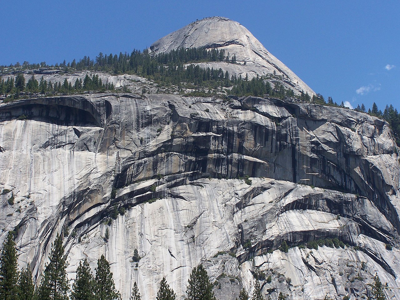 Photo: Little Mountain 5, CC BY-SA 3.0 (via Wikimedia Commons)
North Dome
~1 min drive
North Pines Campground
~2 min drive
 Photo: Matthes, Public domain (via Wikimedia Commons)
Royal Arch Cascade
~2 min drive
Glacier Point Road
~4 min drive
Local operatorsoffering guided trips. You book directly with them — Roamze doesn’t take a cut.
Mammoth Lakes Pack Outfit
Hiking business nearby (~32 mi away) — hasn't claimed their Roamze page yet
