minor path
- 1.4 mi
- round trip
- 1,485 ft
- climb
- 2,210 ft
- high point
- Out and back
- route
- Nov–Apr
- best months
Minor Path is a moderate hike in the Chuckwalla Mountains Wilderness, within the Bureau of Land Management's Palm Springs/S. Coast Field Office in California. The route is a short out-and-back, about 2.9 miles long, with a total elevation gain of about 1,485 feet. The climb starts at roughly 1,662 feet and reaches a high point of about 2,210 feet, and the steepest stretch is early on, with a grade of about 28 percent. Spring and fall are the most comfortable times to go. Typical averages from a nearby weather station run from highs of about 67°F in January to about 77°F in March, and from about 88°F in October to about 91°F in May. That station sits well below the trail, so temperatures on the route run cooler. The hike takes about 1.5 hours. Other outings close by include National Wilderness Area - Foot Path only, about 2.7 miles away, and faint path, about 5.5 miles away. Joshua Tree National Park is about 6.1 miles off, and Corn Springs Campground is about 7 miles away.
- National Wilderness Area - Foot Path onlyHiking2.7 mi
 faint pathHikingPhoto: GSEC, CC BY 2.0 (via Flickr)5.5 mi
- Joshua Tree National ParkRock climbing6.1 mi
- Corn Springs CampgroundCamping7 mi
- Scenic TrailHiking7 mi
- Foot path - wilderness areaHiking9.4 mi
Source: Roamze catalog (indexable pages within 10 miles, PostGIS distance)
- faint pathHiking · ~9 min drivePhoto: GSEC, CC BY 2.0 (via Flickr)
 Lost Palms Oasis TrailHiking · ~33 min drivePhoto: jimmyharris, CC BY 2.0 (via Flickr)
- Wildflowers (Bajada Nature Trail)Hiking · ~37 min drive
- California Riding and Hiking Trail at Geology Tour RoadHiking · ~1h 14m drive
 RidgeHiking · ~56 min drivePhoto: GSEC, CC BY 2.0 (via Flickr)
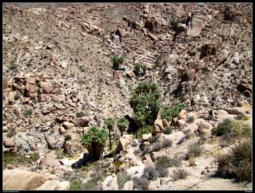 Lost Palms Oasis TrailHiking · ~34 min drivePhoto: ondraposp, CC BY-SA 2.0 (via Flickr)
- Cottonwood SpringHiking · ~38 min drive
 Hexehedron Main TrailHiking · ~1h 4m drivePhoto: inkknife_2000 (7.5 million views +), CC BY-SA 2.0 (via Wikimedia Commons)
- Bajada TrailheadHiking · ~37 min drive
- Desert Tortoise (Contact Mine)Hiking · ~1h 15m drive
Also worth it near here
- Canyon SpringHot spring · ~27 min drive
 Pinto BasinRock climbing · ~37 min drivePhoto: aboutmytripdotcom, CC BY 2.0 (via Flickr)
 Cottonwood CampgroundCamping · ~38 min drivePhoto: Robb Hannawacker, while working for Joshua Tree National Park, Public domain (via Wikimedia Commons)
- Bradshaw TrailScenic drive · ~39 min drive
Best time to visit minor path
Best months: November–April. Best months have typical highs of 55–85 °F, lows of 30 °F or warmer (32 °F where the station doesn't record snow), at most one snowy day and no more than 12 wet days.
Jan
67° / 39°
3 wet
Feb
70° / 41°
3 wet
Mar
77° / 46°
2 wet
Apr
83° / 51°
1 wet
May
91° / 60°
0 wet
Jun
101° / 67°
0 wet
Jul
106° / 76°
1 wet
Aug
105° / 76°
1 wet
Sep
100° / 68°
1 wet
Oct
88° / 55°
1 wet
Nov
76° / 45°
1 wet
Dec
66° / 39°
2 wet
Typical high / low (°F) and days with rain or snow, 1991–2020. Measured at Hayfield Pumping Plt, CA, 11.5 mi away at 1,370 ft. The station sits about 800 ft lower than this place, so expect it a little cooler here. Source: NOAA NCEI U.S. Climate Normals 1991–2020.
Map and trail data © OpenStreetMap contributors
