California · Hiking
Foot path - wilderness area
- 0.7 mi
- round trip
- 943 ft
- climb
- 3,841 ft
- high point
- Out and back
- route
Loading this week's forecast
This short foot path in California's Palm Springs/S. Coast Field Office of the Bureau of Land Management is a 0.7-mile out-and-back hike with a total climb of about 943 feet. The route starts at roughly 3,118 feet and reaches a high point of about 3,841 feet, with the steepest stretch at about 0.64 miles in, where the grade reaches 43%. The path is rated easy, and the climb is spread across the middle of the route. Corn Springs Campground and the Scenic Trail both sit about 5.3 miles away, and the National Wilderness Area - Foot Path only is about 7.3 miles off.
- Corn Springs CampgroundCamping5.3 mi
- Scenic TrailHiking5.3 mi
 faint pathHikingPhoto: GSEC, CC BY 2.0 (via Flickr)5.5 mi
- National Wilderness Area - Foot Path onlyHiking7.3 mi
- minor pathHiking9.4 mi
Source: Roamze catalog (indexable pages within 10 miles, PostGIS distance)
- faint pathHiking · ~9 min drivePhoto: GSEC, CC BY 2.0 (via Flickr)
 Lost Palms Oasis TrailHiking · ~44 min drivePhoto: jimmyharris, CC BY 2.0 (via Flickr)
- Wildflowers (Bajada Nature Trail)Hiking · ~46 min drive
 Tectonic Gorge TrailHiking · ~1h 14m drivePhoto: RuggyBearLA, CC BY 2.0 (via Flickr)
 RidgeHiking · ~1h 3m drivePhoto: GSEC, CC BY 2.0 (via Flickr)
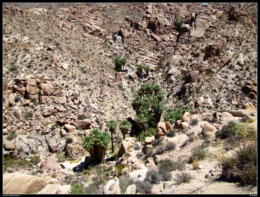 Lost Palms Oasis TrailHiking · ~46 min drivePhoto: ondraposp, CC BY-SA 2.0 (via Flickr)
- Cottonwood SpringHiking · ~50 min drive
- Gas Dome TrailHiking · ~1h 13m drive
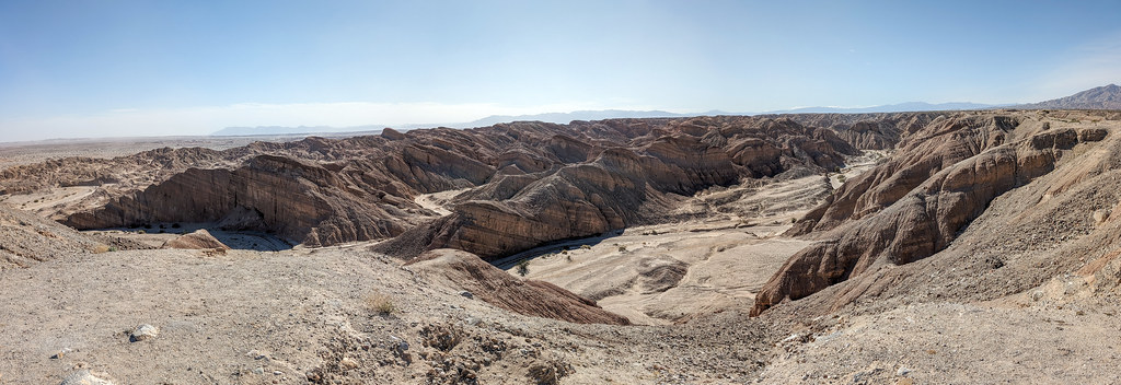 Truckhaven TrailHiking · ~1h 14m drivePhoto: RuggyBearLA, CC BY 2.0 (via Flickr)
- Bajada TrailheadHiking · ~46 min drive

Map and trail data © OpenStreetMap contributors
