Doc Moyle's Camp
Campground
Campground · 5.5 mi from the trail
Alert in the area
The Forest Service lists 3 alerts for Inyo National Forest.
Help Halt Golden Mussel Invasion
Agency alert covering Inyo National Forest · USFS · Inyo National Forest
Ansel Adams and John Muir Wilderness Campfire Restrictions
Agency alert covering Inyo National Forest · Order 05-04-50-25-04 · USFS · Inyo National Forest
Golden Trout and Hoover Wilderness Campfire Restrictions
Agency alert covering Inyo National Forest · Order 05-04-50-25-05 · USFS · Inyo National Forest
As of · Source: USFS · Inyo National Forest. Agencies don't list every closure — check before you go.
Marie Lakes is a 2-mile out-and-back hike in California's Ansel Adams Wilderness, within the Mono Lake Ranger District of Inyo National Forest. The trail climbs from about 10,229 feet to about 10,914 feet, a gain of 667 feet, and is rated hard. The Forest Service manages the land, and the route is natural-surfaced, with horses allowed and bikes not. The trail is open year-round, and the nearest town is June Lake, about 6 miles away. Rush Creek Trail and Davis Lake both lie within about a mile, and the Pacific Crest Trail/John Muir Trail passes about 2.5 miles off. For an overnight base, Silver Lake Campground is about 6 miles away.
Doc Moyle's Camp
Campground
Eagle’s Landing Restaurant
Restaurant
 If it rainsEeekster, CC BY 3.0 · Wikimedia Commons
Sierra Point
Viewpoint
Point in Yosemite National Park at the eastern end of the valley
Places © OpenStreetMap contributors · Photos: Eeekster, CC BY 3.0 (commons)
More in Mammoth LakesNot on Roamze yet. Their page has how to reach them.
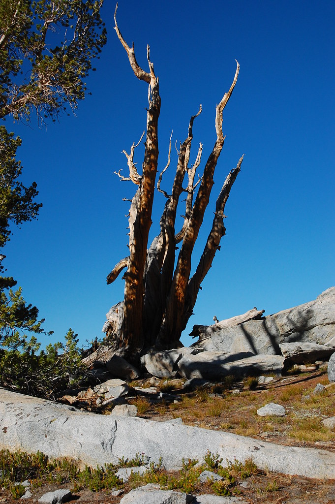 Rush Creek TrailHikingPhoto: ilya_ktsn, CC BY 2.0 (via Flickr)1 miDavis LakeHikingPhoto: ilya_ktsn, CC BY 2.0 (via Flickr)1.1 mi
 Pacific Crest Trail/John Muir TrailHikingPhoto: dret, CC BY-SA 2.0 (via Flickr)2.5 mi
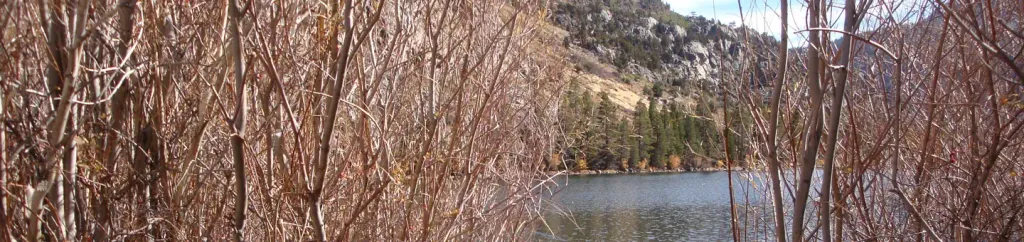 Silver Lake Campground June Lake (CA)CampingPhoto: Recreation.gov (RIDB) / public domain6 mi
 Silver Lake CampgroundCampingPhoto: docentjoyce — CC BY 2.0 (via Flickr)6.1 mi
Source: Roamze catalog (indexable pages within 10 miles, PostGIS distance)
Rush Creek TrailHiking · ~2 min drivePhoto: ilya_ktsn, CC BY 2.0 (via Flickr)Davis LakeHiking · ~2 min drivePhoto: ilya_ktsn, CC BY 2.0 (via Flickr) Clark Lakes TrailHiking · ~6 min drivePhoto: DavetheMage, CC BY-SA 3.0 (via Wikimedia Commons)
 Garnet Lake to Emerald LakeHiking · ~8 min drivePhoto: mjhbower, CC BY-SA 2.0 (via Flickr)Pacific Crest Trail/John Muir TrailHiking · ~4 min drivePhoto: dret, CC BY-SA 2.0 (via Flickr)
 Clark LakesHiking · ~6 min drivePhoto: Hike395 (talk · contribs), CC BY 3.0 (via Wikimedia Commons)
 GARNET-RIVER CUTOFFHiking · ~8 min drivePhoto: Hike395 (talk · contribs), CC BY 3.0 (via Wikimedia Commons)John Muir TrailHiking · ~8 min drivePhoto: Hike395 (talk · contribs), CC BY 3.0 (via Wikimedia Commons)
 Alger Lakes TrailHiking · ~8 min drivePhoto: Jesse Wagstaff, CC BY 2.0 (via Flickr)
 RUSH CREEKHiking · ~7 min drivePhoto: ilya_ktsn, CC BY 2.0 (via Flickr)


