Marble Gap
- 1.8 mi
- round trip
- 927 ft
- climb
- 6,811 ft
- high point
- Out and back
- route
Is Marble Gap open right now?
Alert in the area
The Forest Service lists 2 alerts for Klamath National Forest.
Temporarily closure of approximately 3.5 miles of National Forest System Roads 47N01
Agency alert covering Klamath National Forest · Order 05-05-00-26-08 · USFS · Klamath National Forest
Grayback Road Repairs
Agency alert covering Klamath National Forest · USFS · Klamath National Forest
As of · Source: USFS · Klamath National Forest. Agencies don't list every closure — check before you go.
Marble Gap is a moderate hike in the Marble Mountain Wilderness, part of the Scott River Ranger District of Klamath National Forest in California. The trail is about 1.8 miles long, with a one-way climb of 927 feet, and it's an out-and-back route that starts and ends at the same point, with a low point at 5,852 feet and a high of 6,811 feet. The Forest Service manages the land, and the route is a natural-surface trail. It lies deep within the wilderness, so plan for a day in the backcountry rather than a quick stop. Karst Crag, a climbing area, sits about 0.3 miles away, and the Sky High Valley and Little Marble Valley hikes are each within a mile. For an overnight stay, Indian Scotty Group Site is about 7.6 miles off.
Local outfitters
- Applegate Trail Rides45 mi away
Not on Roamze yet. Their page has how to reach them.
Keep exploring — more trails worth the drive
 Photo: Calaina, CC BY-SA 3.0 (via Wikimedia Commons)
Marble Rim
~1 min drive
4.44-mile out-and-back trail in California with 991 ft gain.
Photo: Calaina, CC BY-SA 3.0 (via Wikimedia Commons)Haypress
~1 min drive
12.42-mile out-and-back trail in California with 2,107 ft elevation gain.
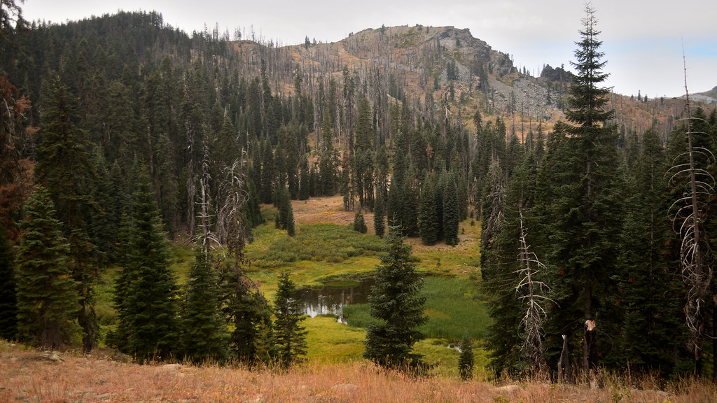 Photo: Tom Hilton, CC BY 2.0 (via Flickr)
Shadow Lake Trail
~3 min drive
0.88-mile out-and-back hike to Shadow Lake in California with 613 ft gain.
HIKE
Kings Castle Crest Trail
~8 min drive
7.02-mile out-and-back trail in California with 3,154 ft elevation gain and loss.
 Photo: Tom Hilton, CC BY 2.0 (via Flickr)
Campbell Lake Trail
~9 min drive
1.78-mile out-and-back hike in California with 1,011 ft of elevation gain
 Photo: Calaina, CC BY-SA 3.0 (via Wikimedia Commons)
Red Rock
~5 min drive
Red Rock is a 9.35-mile out-and-back trail in California with 2,526 feet of elevation gain.
Photo: Tom Hilton, CC BY 2.0 (via Flickr)Cold Spring
~5 min drive
0.83-mile out-and-back trail in California with 42 ft of elevation gain.
HIKE
Pacific Crest National Scenic Trail
~6 min drive
59.23-mile point-to-point trail in California with 5,825 ft gain and 10,406 ft loss.
Photo: Tom Hilton, CC BY 2.0 (via Flickr)Bull Meadows
~9 min drive
3.30-mile out-and-back trail in California with 615 ft elevation gain.
Photo: Calaina, CC BY-SA 3.0 (via Wikimedia Commons)Canyon Creek
~6 min drive
8.40-mile out-and-back trail in California with 2,479 ft gain.
Route details
- Distance
- 1.8 mi round trip
- Climbing
- About 927 ft
- Summit
- 6,980 ft
- Difficulty
- Moderate
Other routes up Marble Mountain
Questions about this route
How long is the Marble Gap on Marble Mountain?
About 1.8 mi round trip.
How much elevation gain is on the Marble Gap?
About 927 ft of climbing round trip.
How hard is the Marble Gap?
It is rated moderate.
How many routes go up Marble Mountain?
2: Marble Gap and Marble Gap Trail.
Conditions and forecast on Marble Mountain
Daily highs and lows, wind and the chance of precipitation at the summit and route start for the next 7 days, from the Open-Meteo model.
