Manti Trail Camp
Campground
Campground · 0.6 mi from the trail
Manti Trail is a moderate out-and-back hike in California, about 3.8 miles from the town of Forest Springs. The route is roughly 3.1 miles long, with a total climb of about 2,300 feet, so the one-way gain is about 1,200 feet. The trail starts at around 2,013 feet and reaches a high point of about 2,246 feet, and the steepest stretch comes at about 0.85 miles in, with a grade of about 51 percent. Late spring and early fall are the most comfortable times to go. Typical averages from a nearby weather station at Skyline Ridge Preserve show May highs around 67°F and September highs around 79°F, with only a few wet days in each month. Winter is cooler and wetter, with highs in the mid-50s and about 14 wet days a month from December through February. Several other outings sit close by. Ammon Trail is about 0.4 miles away, and Little Basin Truck Trail and Big Basin State Park are each about 0.9 miles off. Scott Creek, a canoeing spot, is about 3.2 miles away.
Manti Trail Camp
Campground
Boulder Creek Brewery
Pub
 If it rainsMrwrite, CC BY-SA 3.0 · Wikimedia Commons
Places © OpenStreetMap contributors · Photos: Mrwrite, CC BY-SA 3.0 (commons)
More in Pescadero Little Basin Truck TrailHikingPhoto: theforestprimeval, CC BY-SA 2.0 (via Flickr)0.9 mi
 Pig Ridge CutoffHikingPhoto: btwashburn, CC BY 2.0 (via Flickr)1.3 mi
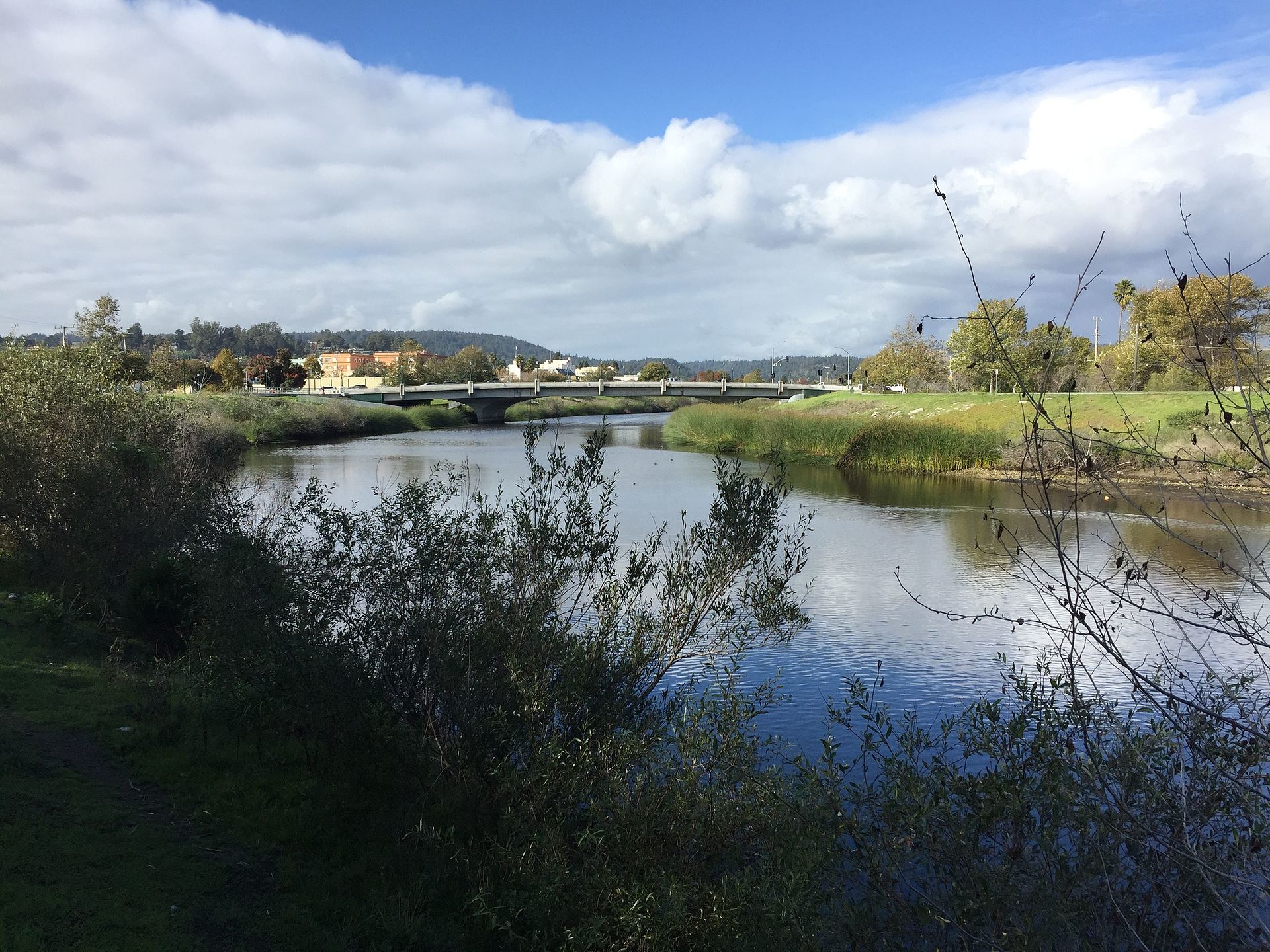 San Lorenzo RiverCanoeingPhoto: Chevy111, CC BY-SA 4.0 (via Wikimedia Commons)7.5 mi
 Goat Rock circuitRock climbingPhoto: btwashburn, CC BY 2.0 (via Flickr)8.4 miGoat RockRock climbingPhoto: btwashburn, CC BY 2.0 (via Flickr)8.4 mi
Source: Roamze catalog (indexable pages within 10 miles, PostGIS distance)
Little Basin Truck TrailHiking · ~1 min drivePhoto: theforestprimeval, CC BY-SA 2.0 (via Flickr)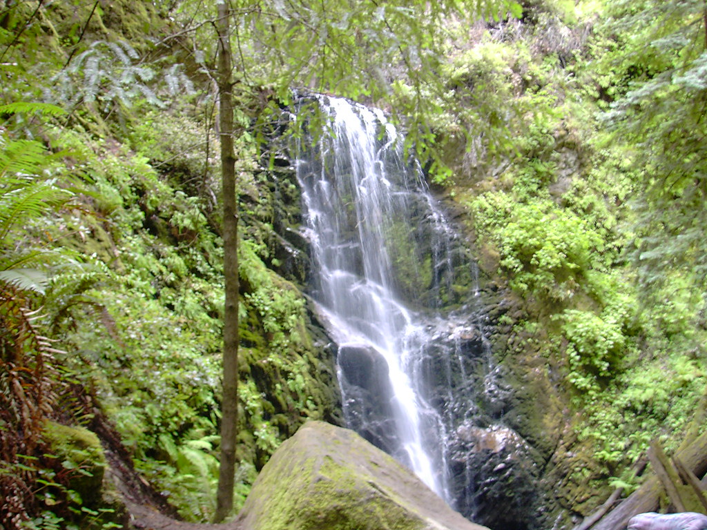 Last Chance TrailHiking · ~3 min drivePhoto: bryce_edwards, CC BY 2.0 (via Flickr)
 Skyline To The Sea TrailHiking · ~5 min drivePhoto: stephane4500, CC BY 2.0 (via Flickr)
 Westridge TrailHiking · ~6 min drivePhoto: dbaron, CC BY-SA 2.0 (via Flickr)
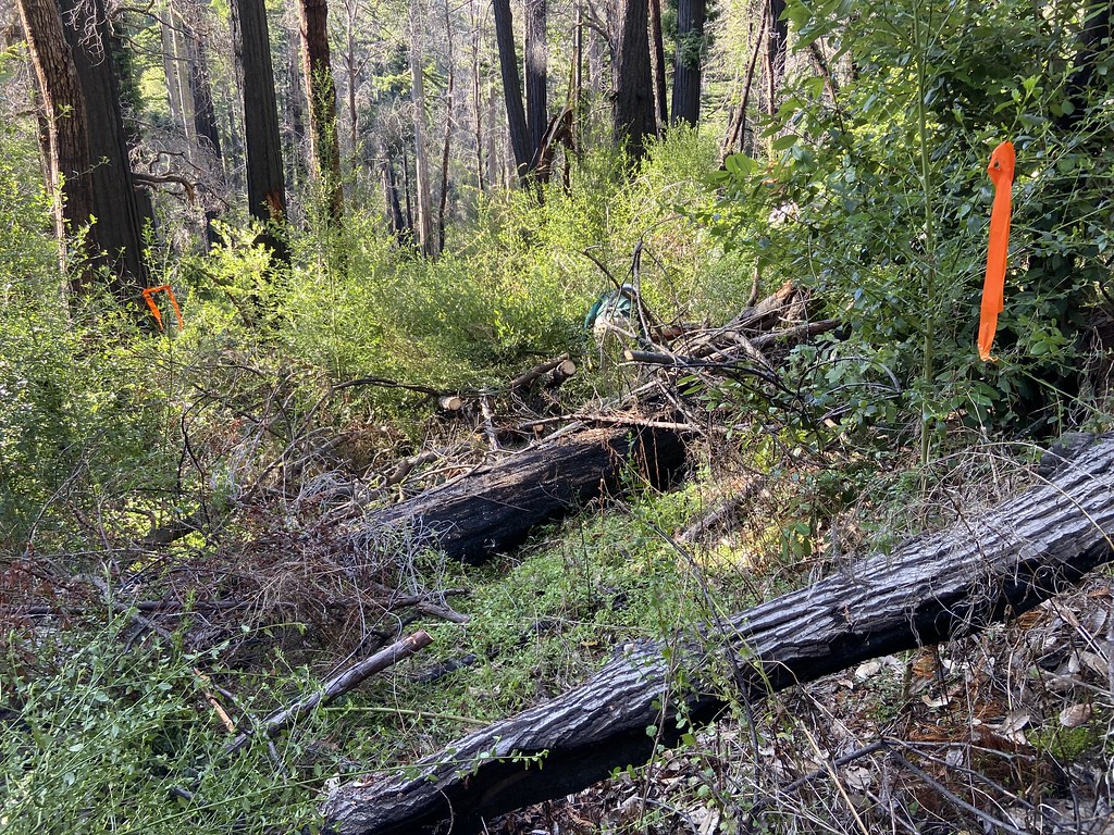 Tanbark Loop TrailHiking · ~2 min drivePhoto: btwashburn, CC BY 2.0 (via Flickr)
 Howard King TrailHiking · ~3 min drivePhoto: Vadim Manuylov, CC BY-SA 3.0 (via Wikimedia Commons)Pig Ridge CutoffHiking · ~2 min drivePhoto: btwashburn, CC BY 2.0 (via Flickr)
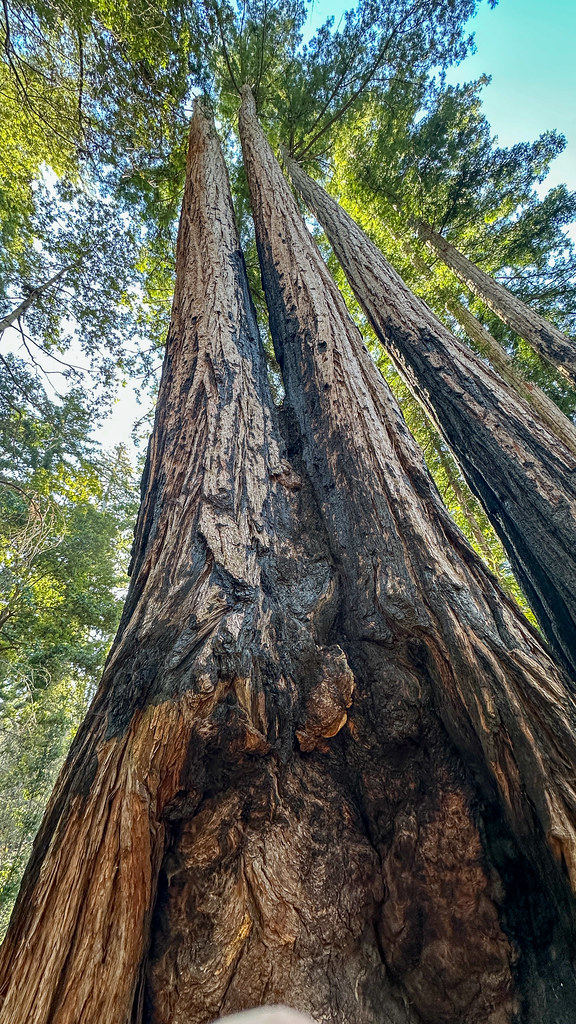 Creeping Forest TrailHiking · ~4 min drivePhoto: lamblukas, CC BY 2.0 (via Flickr)
 Blooms Creek TrailHiking · ~3 min drivePhoto: btwashburn, CC BY 2.0 (via Flickr)
 Sunset TrailHiking · ~4 min drivePhoto: Vadim Manuylov, CC BY-SA 3.0 (via Wikimedia Commons)
Best months: April–November. Best months have typical highs of 55–85 °F, lows of 30 °F or warmer (32 °F where the station doesn't record snow), at most one snowy day and no more than 12 wet days.
Jan
55° / 41°
14 wet
Feb
55° / 40°
14 wet
Mar
58° / 41°
13 wet
Apr
62° / 43°
10 wet
May
67° / 47°
7 wet
Jun
75° / 52°
3 wet
Jul
81° / 58°
1 wet
Aug
81° / 59°
1 wet
Sep
79° / 57°
2 wet
Oct
71° / 52°
6 wet
Nov
60° / 44°
11 wet
Dec
54° / 40°
15 wet
Typical high / low (°F) and days with rain or snow, 1991–2020. Measured at Skyline Ridge Preserve, CA, 11.9 mi away at 2,270 ft. This station doesn't record snowfall. Source: NOAA NCEI U.S. Climate Normals 1991–2020.
Map and trail data © OpenStreetMap contributors
