Little Basin Cabins and Camping
Campground
Campground · 0.6 mi from the trail
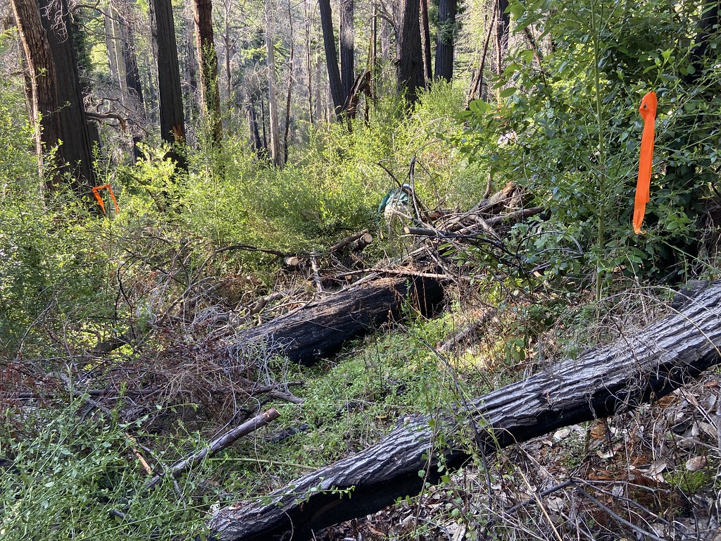 Photo: btwashburn, CC BY 2.0 (via Flickr)
Tanbark Loop Trail is a 1.92-mile out-and-back hike in California with 458 feet of elevation gain and loss. The route reaches a maximum elevation of 1,689 feet.
Little Basin Cabins and Camping
Campground
Boulder Creek Brewery
Pub
 If it rainsMrwrite, CC BY-SA 3.0 · Wikimedia Commons
Places © OpenStreetMap contributors · Photos: Mrwrite, CC BY-SA 3.0 (commons)
More in Pescadero Pig Ridge CutoffHiking · Next doorPhoto: btwashburn, CC BY 2.0 (via Flickr)
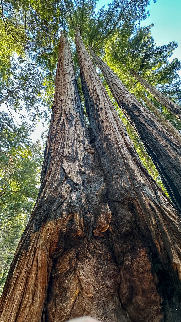 Creeping Forest TrailHiking · ~2 min drivePhoto: lamblukas, CC BY 2.0 (via Flickr)
 Skyline To The Sea TrailHiking · ~5 min drivePhoto: btwashburn, CC BY 2.0 (via Flickr)
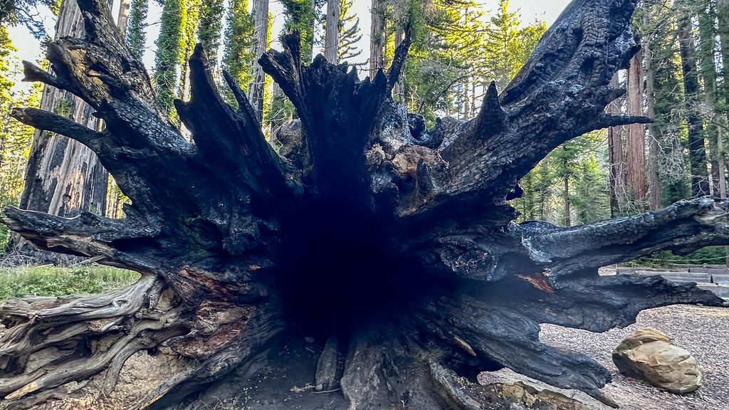 Pine Mountain TrailHiking · Next doorPhoto: lamblukas, CC BY 2.0 (via Flickr)
 Sunset TrailHiking · ~3 min drivePhoto: Vadim Manuylov, CC BY-SA 3.0 (via Wikimedia Commons)
 Blooms Creek TrailHiking · Next doorPhoto: btwashburn, CC BY 2.0 (via Flickr)
 Howard King TrailHiking · ~3 min drivePhoto: Vadim Manuylov, CC BY-SA 3.0 (via Wikimedia Commons)SttS/Hihn Connector TrailHiking · ~1 min drivePhoto: lamblukas, CC BY 2.0 (via Flickr)
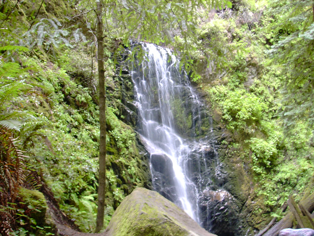 Last Chance TrailHiking · ~3 min drivePhoto: bryce_edwards, CC BY 2.0 (via Flickr)Campground Connector TrailHiking · ~1 min drivePhoto: lamblukas, CC BY 2.0 (via Flickr)
Best months: April–November. Best months have typical highs of 55–85 °F, lows of 30 °F or warmer (32 °F where the station doesn't record snow), at most one snowy day and no more than 12 wet days.
Jan
55° / 41°
14 wet
Feb
55° / 40°
14 wet
Mar
58° / 41°
13 wet
Apr
62° / 43°
10 wet
May
67° / 47°
7 wet
Jun
75° / 52°
3 wet
Jul
81° / 58°
1 wet
Aug
81° / 59°
1 wet
Sep
79° / 57°
2 wet
Oct
71° / 52°
6 wet
Nov
60° / 44°
11 wet
Dec
54° / 40°
15 wet
Typical high / low (°F) and days with rain or snow, 1991–2020. Measured at Skyline Ridge Preserve, CA, 10.7 mi away at 2,270 ft. The station sits about 600 ft higher than this place, so expect it a little warmer here. This station doesn't record snowfall. Source: NOAA NCEI U.S. Climate Normals 1991–2020.
Map and trail data © OpenStreetMap contributors
