Lower Brandy Creek Trail
- 1.1 mi
- round trip
- 654 ft
- climb
- 1,718 ft
- high point
- Out and back
- route
- Jan–Feb, Apr–May
- best months
Is Lower Brandy Creek Trail open right now?
No closures listed
The National Park Service lists no closures for Whiskeytown-Shasta-Trinity National Recreation Area.
As of · Source: NPS · Whiskeytown-Shasta-Trinity National Recreation Area. Agencies don't list every closure — check before you go.
Lower Brandy Creek Trail is a short, easy out-and-back hike in California's Whiskeytown-Shasta-Trinity National Recreation Area, managed by the National Park Service. The trail is about 1.08 miles long, and the round trip covers roughly 2.2 miles with a total elevation gain of 654 feet. The route starts at about 1,641 feet and reaches a high point of 1,718 feet before returning to the starting elevation. The trail is rolling, and the steepest stretch comes early, around 0.18 miles from the start, with a grade of about 19 percent. The climb is gentle enough to make the hike a quick outing, and it takes about an hour to complete. Spring and fall are the most comfortable times to go. Typical averages from a nearby weather station in Redding show May highs around 77°F and October highs around 76°F, while July and August average in the mid-90s. Sheep Camp Primitive Campground sits about half a mile away, and the Peltier Valley Trail and Davis Gulch Trail are both within about a mile and a half. For more time on the water, Willow Creek offers canoeing about 6.6 miles away.
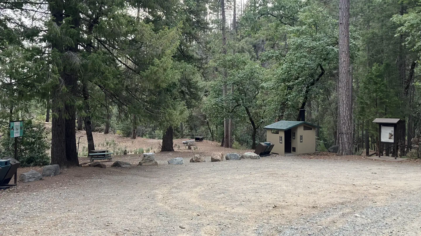 Sheep Camp Primitive CampgroundSaltwater fishing0.5 mi
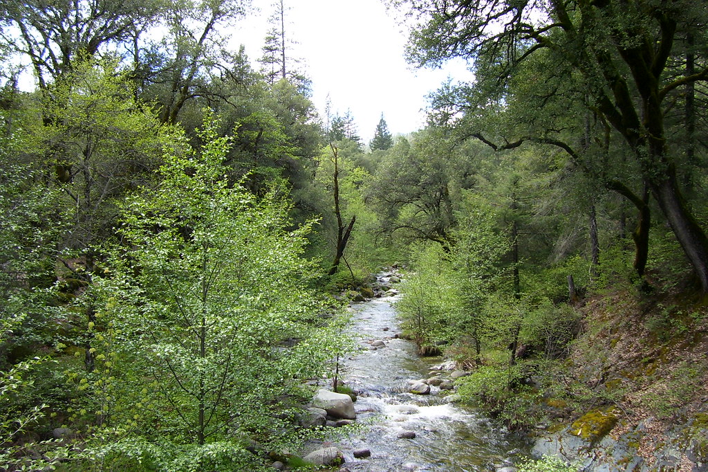 Peltier Valley TrailHikingPhoto: Scottb211, CC BY 2.0 (via Flickr)0.9 mi
- Davis Gulch TrailHikingPhoto: Scottb211, CC BY 2.0 (via Flickr)1.4 mi
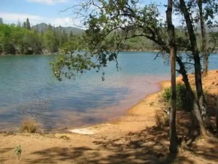 DRY CREEK GROUP CAMPGROUND (Whiskeytown NRA)CampingPhoto: Recreation.gov (RIDB) / public domain1.7 mi
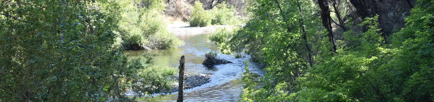 Peltier Bridge Primitive CampgroundSaltwater fishing2 mi
- Guardian Rock TrailHiking2.9 mi
- Whiskey Creek Group Picnic Area (Whiskeytown NRA)Camping3.6 mi
- Willow CreekCanoeing6.6 mi
Source: Roamze catalog (indexable pages within 10 miles, PostGIS distance)
 Lower Brandy Creek TrailHiking · Next doorPhoto: ray_explores, CC BY 2.0 (via Flickr)
- Peltier Valley TrailHiking · ~2 min drivePhoto: Scottb211, CC BY 2.0 (via Flickr)
- Davis Gulch TrailHiking · ~2 min drivePhoto: Scottb211, CC BY 2.0 (via Flickr)
- James K. Carr Trail to Whiskeytown FallsHiking · ~9 min drive
- Princess Ditch TrailHiking · ~7 min drive
 Hydraulic Loop TrailHiking · ~4 min drivePhoto: Kevin Shorter, CC BY 2.0 (via Flickr)
- Monarch Mountain TrailHiking · ~2 min drivePhoto: Scottb211, CC BY 2.0 (via Flickr)
- Papoose TrailHiking · ~3 min drive
- Ridge TrailHiking · ~4 min drivePhoto: Kevin Shorter, CC BY 2.0 (via Flickr)
- Mount Shasta Mine Loop TrailHiking · ~5 min drivePhoto: Kevin Shorter, CC BY 2.0 (via Flickr)
Best time to visit Lower Brandy Creek Trail
Best months: January–February, April–May and October–November. Best months have typical highs of 55–85 °F, lows of 30 °F or warmer (32 °F where the station doesn't record snow), at most one snowy day and no more than 12 wet days.
Jan
55° / 37°
11 wet
Feb
58° / 38°
11 wet
Mar
62° / 40°
13 wet
Apr
68° / 45°
10 wet
May
77° / 51°
8 wet
Jun
87° / 58°
4 wet
Jul
96° / 63°
1 wet
Aug
94° / 61°
2 wet
Sep
89° / 57°
3 wet
Oct
76° / 49°
6 wet
Nov
61° / 41°
9 wet
Dec
53° / 36°
12 wet
Typical high / low (°F) and days with rain or snow, 1991–2020. Measured at Redding 12 Wnw, CA, 3.6 mi away at 1,418 ft. This station doesn't record snowfall. Source: NOAA NCEI U.S. Climate Normals 1991–2020.
Map and trail data © OpenStreetMap contributors
