Guardian Rock Trail
- 0.8 mi
- round trip
- 768 ft
- climb
- 1,097 ft
- high point
- Out and back
- route
- Feb–May, Oct–Nov
- best months
Is Guardian Rock Trail open right now?
No closures listed
The National Park Service lists no closures for Whiskeytown-Shasta-Trinity National Recreation Area.
As of · Source: NPS · Whiskeytown-Shasta-Trinity National Recreation Area. Agencies don't list every closure — check before you go.
Guardian Rock Trail is a short, easy hike in Whiskeytown-Shasta-Trinity National Recreation Area in California, managed by the National Park Service. The trail is about 0.8 miles from the start to the turnaround, with a total round-trip distance of about 1.6 miles and a total elevation gain of about 768 feet. The steepest part comes early, at about 0.16 miles in, with a grade of about 16 percent. Spring and fall are the most comfortable times to go. Typical averages from a nearby weather station show May highs around 79°F and October highs around 78°F, while July and August average near 99°F. Peltier Bridge Primitive Campground is about 0.8 miles away, and Mule Mountain Pass and Princess Ditch Trail are each about a mile off. For more camping, Dry Creek Group Campground is about 3.9 miles away.
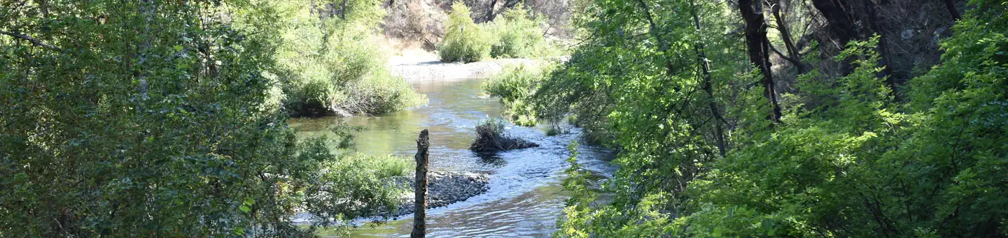 Peltier Bridge Primitive CampgroundSaltwater fishing0.8 mi
- Mule Mountain PassHiking1 mi
- Princess Ditch TrailHiking1 mi
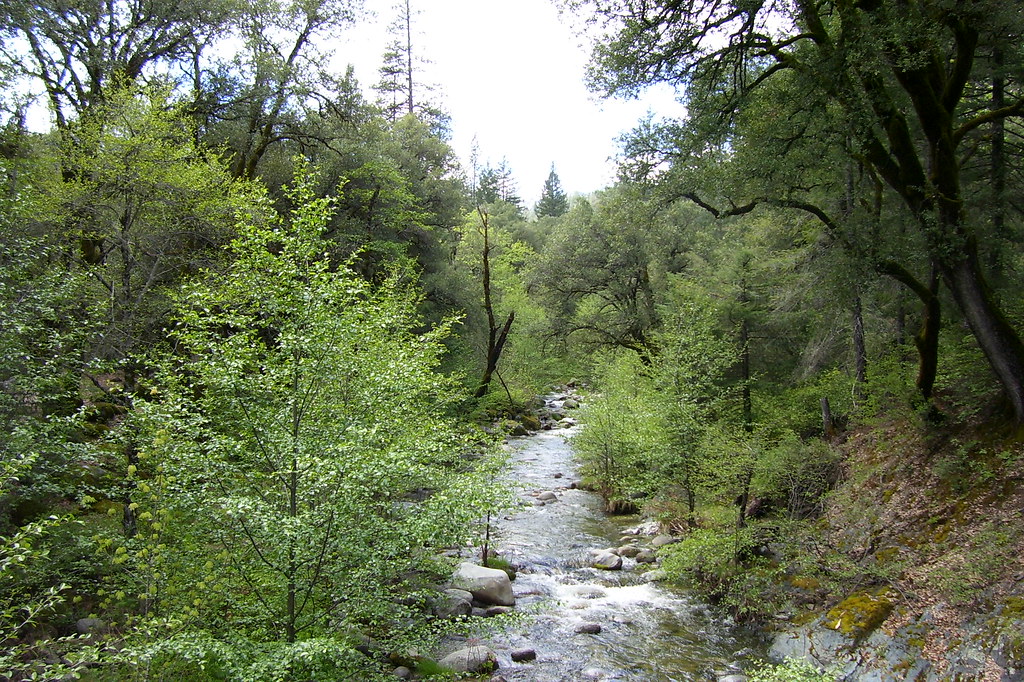 Peltier Valley TrailHikingPhoto: Scottb211, CC BY 2.0 (via Flickr)2.2 mi
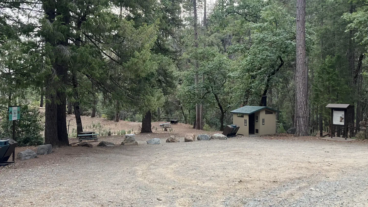 Sheep Camp Primitive CampgroundSaltwater fishing3.3 mi
 DRY CREEK GROUP CAMPGROUND (Whiskeytown NRA)CampingPhoto: Recreation.gov (RIDB) / public domain3.9 mi
- Whiskey Creek Group Picnic Area (Whiskeytown NRA)Camping4.7 mi
- North Fork Cottonwood CreekCanoeing9.2 mi
Source: Roamze catalog (indexable pages within 10 miles, PostGIS distance)
 Horsetail Canyon TrailHiking · Next doorPhoto: Kevin Shorter, CC BY 2.0 (via Flickr)
- Mount Shasta Mine Loop TrailHiking · Next doorPhoto: Kevin Shorter, CC BY 2.0 (via Flickr)
- Davis Gulch TrailHiking · ~5 min drivePhoto: Scottb211, CC BY 2.0 (via Flickr)
- Princess Ditch TrailHiking · ~2 min drive
- Ridge TrailHiking · Next doorPhoto: Kevin Shorter, CC BY 2.0 (via Flickr)
- Peltier Valley TrailHiking · ~4 min drivePhoto: Scottb211, CC BY 2.0 (via Flickr)
- Mule RidgeHiking · ~7 min drive
- Hydraulic Loop TrailHiking · ~1 min drivePhoto: Kevin Shorter, CC BY 2.0 (via Flickr)
- Monarch Mountain TrailHiking · ~4 min drivePhoto: Scottb211, CC BY 2.0 (via Flickr)
- Papoose TrailHiking · ~8 min drive
Best time to visit Guardian Rock Trail
Best months: February–May and October–November. Best months have typical highs of 55–85 °F, lows of 30 °F or warmer (32 °F where the station doesn't record snow), at most one snowy day and no more than 12 wet days.
Jan
54° / 39°
14 wet
Feb
58° / 41°
12 wet
Mar
63° / 43°
12 wet
Apr
70° / 47°
10 wet
May
79° / 55°
7 wet
Jun
89° / 62°
4 wet
Jul
99° / 67°
1 wet
Aug
98° / 65°
1 wet
Sep
92° / 61°
2 wet
Oct
78° / 52°
5 wet
Nov
62° / 44°
10 wet
Dec
53° / 39°
14 wet
Typical high / low (°F) and days with rain or snow, 1991–2020. Measured at Whiskeytown Rsvr, CA, 2.3 mi away at 1,295 ft. This station doesn't record snowfall. Source: NOAA NCEI U.S. Climate Normals 1991–2020.
Map and trail data © OpenStreetMap contributors
