Malibu Creek Campground
Campground
Campground · 1.8 mi from the trail
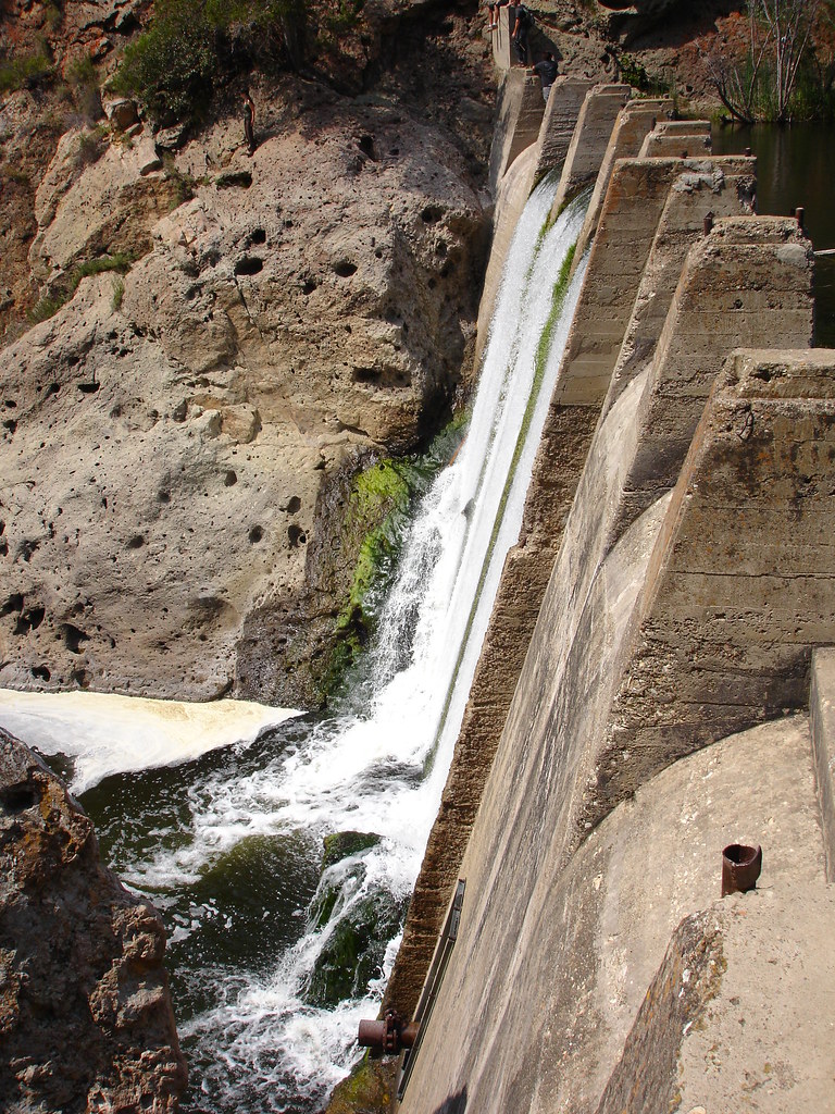 Photo: NoiseCollusion, CC BY 2.0 (via Flickr)
No closures listed
The National Park Service lists no closures for Santa Monica Mountains National Recreation Area.
As of · Source: NPS · Santa Monica Mountains National Recreation Area. Agencies don't list every closure — check before you go.
Lost Cabin Trail is an easy out-and-back hike in Malibu Creek State Park, set within the Santa Monica Mountains National Recreation Area in California. The route is about 1.5 miles long, with a total climb of about 370 feet and a high point of roughly 855 feet. The trail starts at around 684 feet, and the steepest stretch, about 14%, comes at roughly 0.6 miles in. Spring and fall are the most comfortable times to go. Typical averages from a nearby weather station run to highs around 74°F in March and 85°F in October, while July and August average highs in the mid-90s. The station sits at a similar elevation to the trail. The hike takes about half an hour, so it works well as a short outing. It pairs easily with other trails and climbing areas close by. Malibu Creek State Park Bouldering is about half a mile away, and Forest Trail and Lake Vista Trail are each within about 0.7 miles.
Malibu Creek Campground
Campground
Cornell Wine Co.
Restaurant
 If it rainsLos Angeles, CC BY-SA 4.0 · Wikimedia Commons
Leonis Adobe
Museum
Places © OpenStreetMap contributors · Photos: Los Angeles, CC BY-SA 4.0 (commons)
More in Moorpark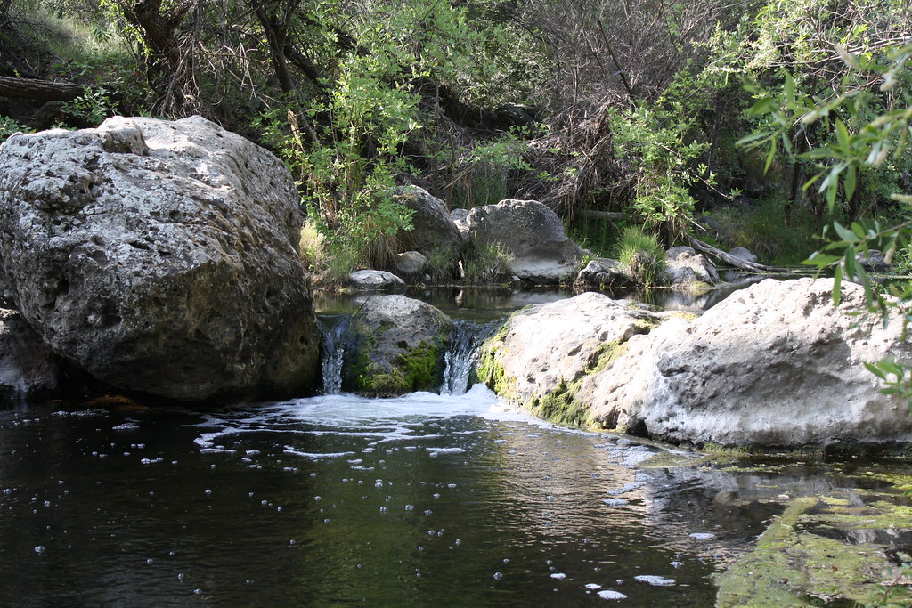 Forest TrailHikingPhoto: jmlawlor, CC BY 2.0 (via Flickr)0.6 mi
 Lookout TrailHikingPhoto: Steve Voght, CC BY-SA 2.0 (via Wikimedia Commons)0.7 mi
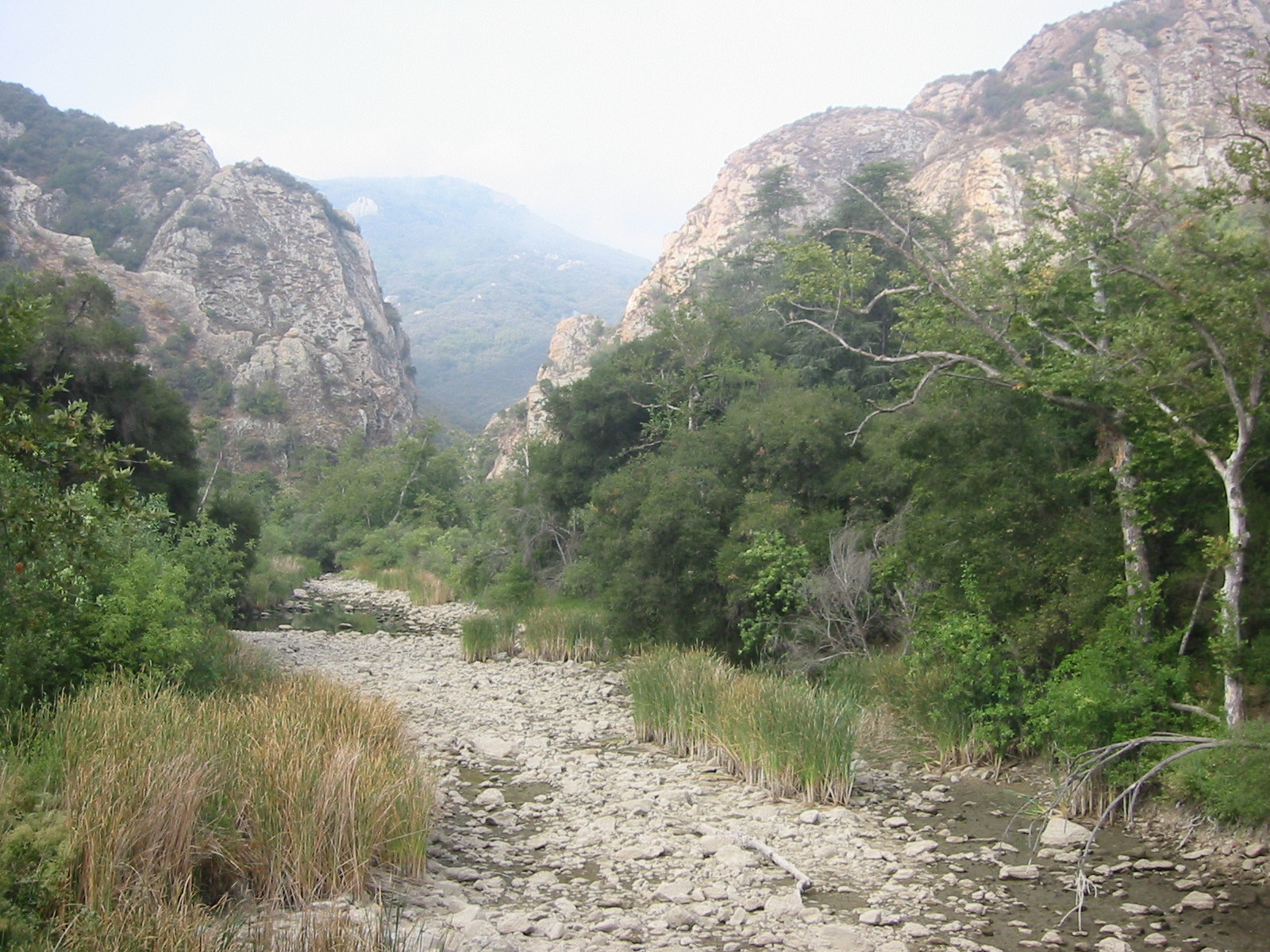 Malibu CreekCanoeingPhoto: Tobin/tobo, Rochester, NY, USA, CC BY-SA 2.0 (via Wikimedia Commons)1.3 mi
Source: Roamze catalog (indexable pages within 10 miles, PostGIS distance)
Century Dam RouteHiking · ~1 min drivePhoto: jmlawlor, CC BY 2.0 (via Flickr) Bulldog MotorwayHiking · ~3 min drivePhoto: cho_kettie, CC BY 2.0 (via Flickr)
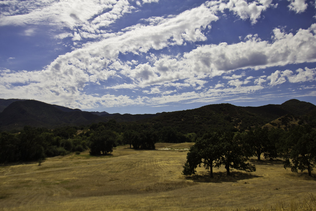 Abrams Open Space LoopHiking · ~3 min drivePhoto: Santa Monica Mountains National Recreation Area, Public Domain Mark (via Flickr)Forest TrailHiking · ~1 min drivePhoto: jmlawlor, CC BY 2.0 (via Flickr)
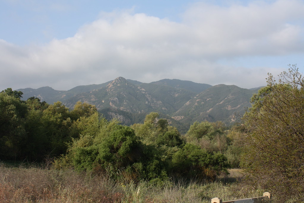 Talepop TrailHiking · ~3 min drivePhoto: jmlawlor, CC BY 2.0 (via Flickr)Gorge RouteHiking · ~1 min drivePhoto: NoiseCollusion, CC BY 2.0 (via Flickr)
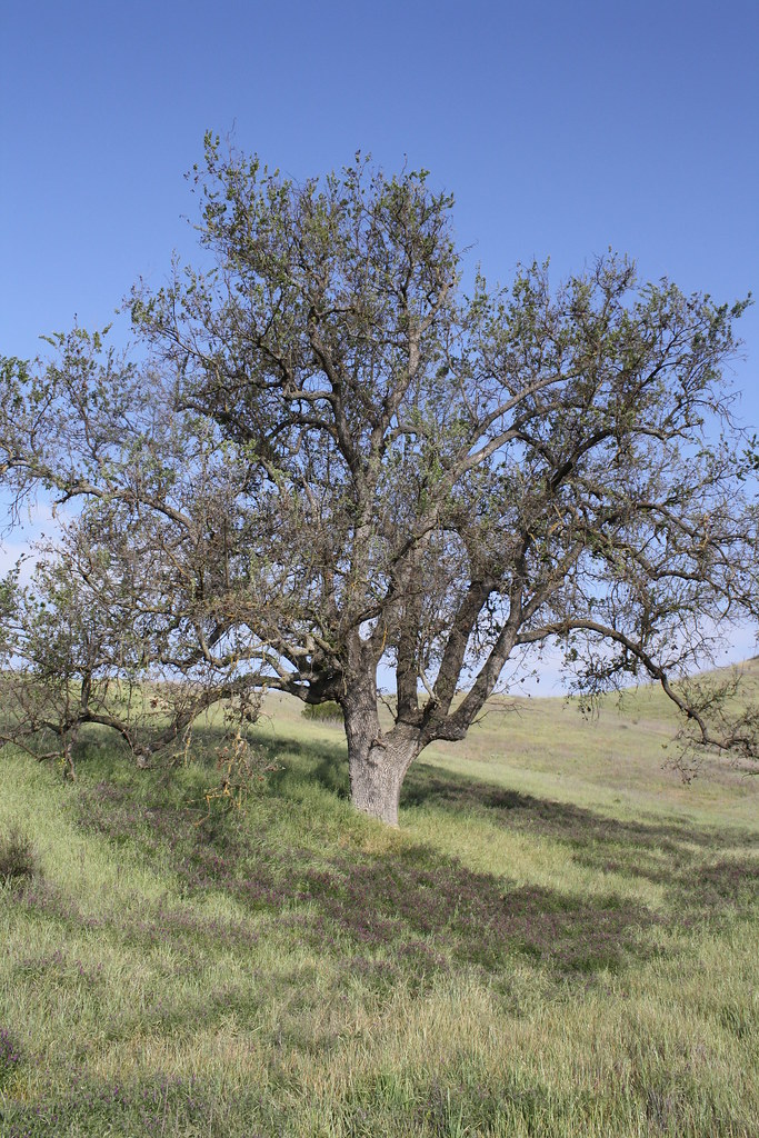 Las Virgenes View TrailHiking · ~3 min drivePhoto: jmlawlor, CC BY 2.0 (via Flickr)Lookout TrailHiking · ~1 min drivePhoto: Steve Voght, CC BY-SA 2.0 (via Wikimedia Commons)
 Malibou Lake Connector TrailHiking · ~4 min drivePhoto: Santa Monica Mountains National Recreation Area, Public Domain Mark (via Flickr)
Also worth it near here
 Stumbling BlocksRock climbing · ~1 min drivePhoto: playboyr, CC BY 3.0 (via Wikimedia Commons)Malibu CreekCanoeing · ~2 min drivePhoto: Tobin/tobo, Rochester, NY, USA, CC BY-SA 2.0 (via Wikimedia Commons)
 Castro PeakSummit · ~4 min drivePhoto: USMARINE0311 from California, United States, CC BY-SA 2.0 (via Wikimedia Commons)
Best months: October–May. Best months have typical highs of 55–85 °F, lows of 30 °F or warmer (32 °F where the station doesn't record snow), at most one snowy day and no more than 12 wet days.
Jan
70° / 43°
6 wet
Feb
70° / 44°
7 wet
Mar
74° / 46°
6 wet
Apr
78° / 48°
3 wet
May
82° / 53°
1 wet
Jun
89° / 57°
0 wet
Jul
95° / 61°
0 wet
Aug
97° / 61°
0 wet
Sep
94° / 59°
1 wet
Oct
85° / 53°
2 wet
Nov
76° / 46°
3 wet
Dec
69° / 42°
6 wet
Typical high / low (°F) and days with rain or snow, 1991–2020. Measured at Woodland Hills Pierce College, CA, 11.4 mi away at 790 ft. Source: NOAA NCEI U.S. Climate Normals 1991–2020.
Map and trail data © OpenStreetMap contributors
