Malibu Creek Campground
Campground
Campground · 0.7 mi from the trail
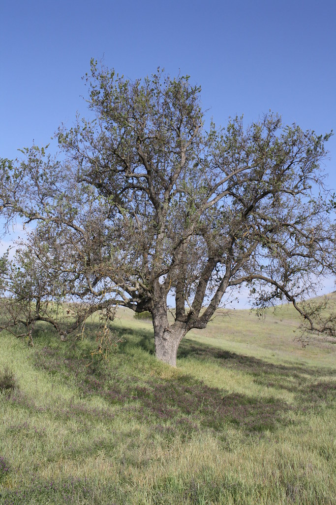 Photo: jmlawlor, CC BY 2.0 (via Flickr)
No closures listed
The National Park Service lists no closures for Santa Monica Mountains National Recreation Area.
As of · Source: NPS · Santa Monica Mountains National Recreation Area. Agencies don't list every closure — check before you go.
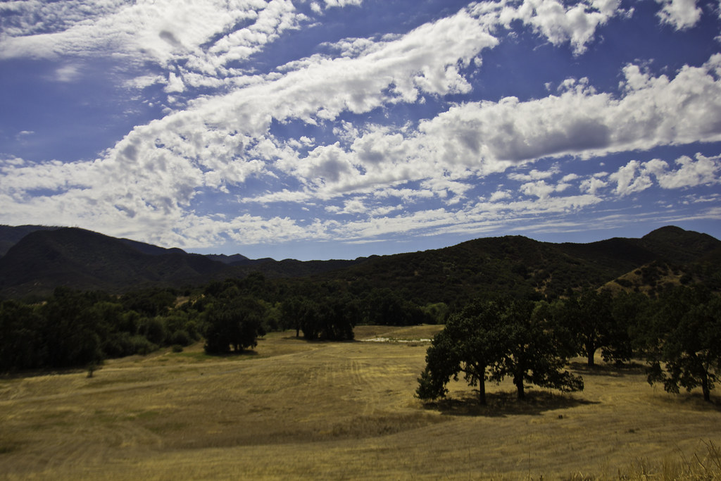
Las Virgenes View Trail is a moderate out-and-back hike in the Santa Monica Mountains National Recreation Area, on city-managed land in California. The trail is about 4.3 miles long, with a total elevation gain of 2,008 feet, and it starts and ends at the Las Virgenes View Trail Trailhead. The route climbs steadily from a low point of 598 feet to a high point of 1,050 feet, and the steepest stretch comes at about 1.6 miles in, with a grade of 16 percent. Spring and fall are the most comfortable times to go. Typical averages from a nearby weather station show April highs around 78°F and October highs around 85°F, while July and August average in the mid-90s. The trail sits close to several other routes. North Grasslands Trail is just 0.1 mile away, and Inspiration Loop and Liberty Canyon Trail are each about 0.4 mile off. Climbers can find the Santa Monica Mountains climbing area roughly 0.9 mile away.
Malibu Creek Campground
Campground
 If it rainsLos Angeles, CC BY-SA 4.0 · Wikimedia Commons
Leonis Adobe
Museum
Places © OpenStreetMap contributors · Photos: Los Angeles, CC BY-SA 4.0 (commons)
More in MoorparkNorth Grasslands TrailHikingPhoto: jmlawlor, CC BY 2.0 (via Flickr)0.1 mi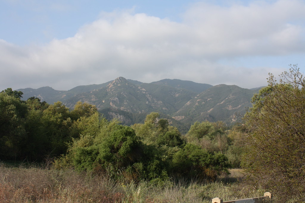 Liberty Canyon TrailHikingPhoto: jmlawlor, CC BY 2.0 (via Flickr)0.4 mi
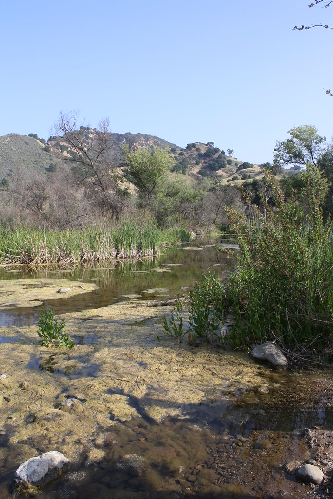 Grasslands TrailHikingPhoto: jmlawlor, CC BY 2.0 (via Flickr)0.7 mi
 Planet of the Apes WallRock climbingPhoto: playboyr, CC BY 3.0 (via Wikimedia Commons)1.1 mi
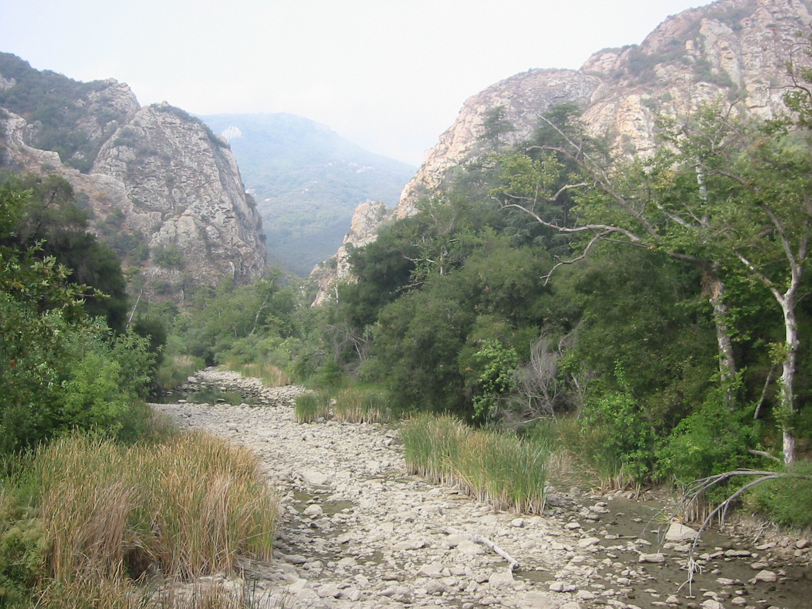 Malibu CreekCanoeingPhoto: Tobin/tobo, Rochester, NY, USA, CC BY-SA 2.0 (via Wikimedia Commons)1.5 mi
Source: Roamze catalog (indexable pages within 10 miles, PostGIS distance)
North Grasslands TrailHiking · Next doorPhoto: jmlawlor, CC BY 2.0 (via Flickr)Talepop TrailHiking · ~1 min drivePhoto: jmlawlor, CC BY 2.0 (via Flickr)North Grasslands TrailHiking · Next doorPhoto: jmlawlor, CC BY 2.0 (via Flickr) Phantom TrailHiking · ~3 min drivePhoto: BeautifulFreaks, CC BY-SA 2.0 (via Flickr)Liberty Canyon TrailHiking · Next doorPhoto: jmlawlor, CC BY 2.0 (via Flickr)
 Abrams Open Space LoopHiking · ~3 min drivePhoto: Santa Monica Mountains National Recreation Area, Public Domain Mark (via Flickr)Grasslands TrailHiking · ~1 min drivePhoto: jmlawlor, CC BY 2.0 (via Flickr)
 Cold Creek High TrailHiking · ~3 min drivePhoto: Santa Monica Mountains National Recreation Area, Public domain (via Wikimedia Commons)
 Chaparral TrailHiking · ~2 min drivePhoto: Steve Voght, CC BY-SA 2.0 (via Wikimedia Commons)
Also worth it near here
Planet of the Apes WallRock climbing · ~2 min drivePhoto: playboyr, CC BY 3.0 (via Wikimedia Commons)Malibu CreekCanoeing · ~3 min drivePhoto: Tobin/tobo, Rochester, NY, USA, CC BY-SA 2.0 (via Wikimedia Commons)Best months: October–May. Best months have typical highs of 55–85 °F, lows of 30 °F or warmer (32 °F where the station doesn't record snow), at most one snowy day and no more than 12 wet days.
Jan
70° / 43°
6 wet
Feb
70° / 44°
7 wet
Mar
74° / 46°
6 wet
Apr
78° / 48°
3 wet
May
82° / 53°
1 wet
Jun
89° / 57°
0 wet
Jul
95° / 61°
0 wet
Aug
97° / 61°
0 wet
Sep
94° / 59°
1 wet
Oct
85° / 53°
2 wet
Nov
76° / 46°
3 wet
Dec
69° / 42°
6 wet
Typical high / low (°F) and days with rain or snow, 1991–2020. Measured at Woodland Hills Pierce College, CA, 9.5 mi away at 790 ft. Source: NOAA NCEI U.S. Climate Normals 1991–2020.
Map and trail data © OpenStreetMap contributors
