Paso Picacho Campground
Campground
Campground · 1.3 mi from the trail
Los Caballos Trail is a short, easy hike in Cuyamaca Rancho State Park in California, managed by State Park and Recreation. The trail is about 0.37 miles long, and the round trip adds up to roughly 0.74 miles with a total elevation gain of about 117 feet. The climb is front-loaded, with the steepest stretch at about 0.09 miles from the start, and the trail reaches a high point of about 4713 feet before returning to the starting elevation of about 4675 feet. Late spring and early fall are the most comfortable times to go. Typical averages from a nearby weather station in Cuyamaca show May highs around 67°F and October highs around 69°F, while July and August average in the low 80s. The trail sits close to several other routes. Los Vaqueros Trail and the Marty Minshall trail are each about 0.1 miles away, and Cold Stream Trail is about 0.4 miles off. Climbers can find the Upper Tier climbing area about 1.2 miles away.
Paso Picacho Campground
Campground
The Pub at Lake Cuyamaca
Restaurant
Glen S. Wyatt Memorial Viewpoint
Viewpoint
Places © OpenStreetMap contributors
More in JulianNot on Roamze yet. Their page has how to reach them.
 Upper TierRock climbingPhoto: Waifer X, CC BY 2.0 (via Flickr)1.2 miLower TierRock climbingPhoto: Waifer X, CC BY 2.0 (via Flickr)1.2 mi
 El Prado GroupCampingPhoto: Recreation.gov (RIDB) / public domain9.4 mi
 LagunaCampingPhoto: Recreation.gov (RIDB) / public domain9.8 mi
Source: Roamze catalog (indexable pages within 10 miles, PostGIS distance)
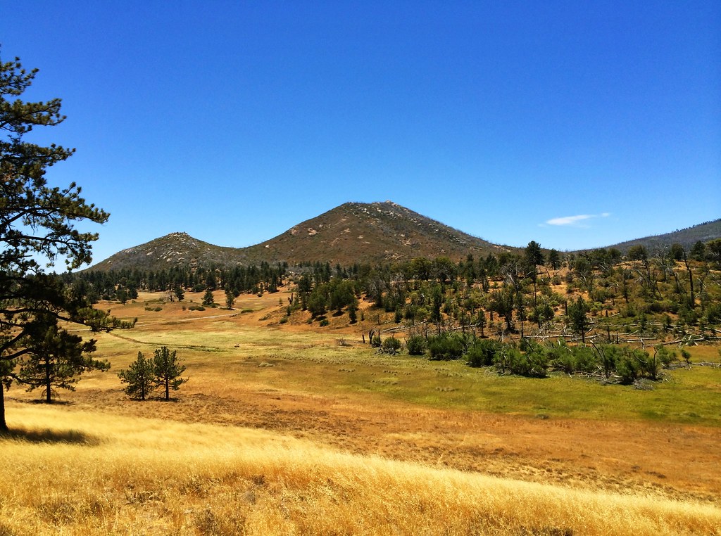 Marty Minshall trailHiking · Next doorPhoto: elemenous, CC BY-SA 2.0 (via Flickr)
 California Riding and Hiking TrailHiking · ~4 min drivePhoto: aspidoscelis, Public Domain Dedication (CC0) (via Flickr)
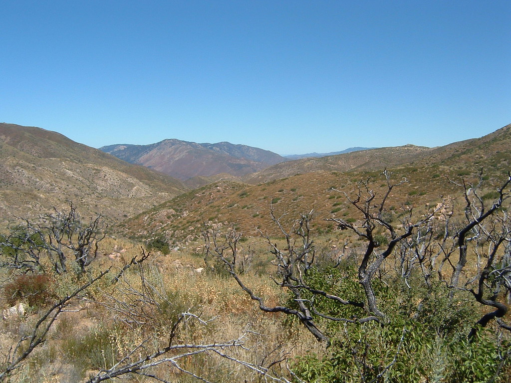 Pacific Crest National Scenic Trail #2000Hiking · ~7 min drivePhoto: lhogue46, CC BY 2.0 (via Flickr)Marty Minshall TrailHiking · Next doorPhoto: elemenous, CC BY-SA 2.0 (via Flickr)La Cima TrailHiking · ~4 min drivePhoto: aspidoscelis, Public Domain Dedication (CC0) (via Flickr)Los Vaqueros TrailHiking · ~2 min drivePhoto: elemenous, CC BY-SA 2.0 (via Flickr)
 West Mesa TrailHiking · ~4 min drivePhoto: GaryGnu, CC BY 2.0 (via Flickr)Vern Whitaker TrailHiking · ~2 min drivePhoto: elemenous, CC BY-SA 2.0 (via Flickr)
 Burnt Pine TrailHiking · ~6 min drivePhoto: danhurt, CC BY-SA 2.0 (via Flickr)
Best months: March–November. Best months have typical highs of 55–85 °F, lows of 30 °F or warmer (32 °F where the station doesn't record snow), at most one snowy day and no more than 12 wet days.
Jan
51° / 33°
7 wet
Feb
51° / 33°
8 wet
Mar
55° / 36°
7 wet
Apr
60° / 39°
5 wet
May
67° / 44°
3 wet
Jun
76° / 51°
1 wet
Jul
83° / 58°
1 wet
Aug
84° / 58°
2 wet
Sep
79° / 51°
2 wet
Oct
69° / 42°
3 wet
Nov
59° / 35°
5 wet
Dec
51° / 32°
7 wet
Typical high / low (°F) and days with rain or snow, 1991–2020. Measured at Cuyamaca, CA, 1.1 mi away at 4,640 ft. This station doesn't record snowfall. Source: NOAA NCEI U.S. Climate Normals 1991–2020.
Map and trail data © OpenStreetMap contributors

