Camp Irene
Campground
Campground · 3.1 mi from the trail
Alert in the area
The Forest Service lists 2 alerts for Eldorado National Forest.
Help Halt Golden Mussel Invasion
Agency alert covering Eldorado National Forest · USFS · Eldorado National Forest
Deer Valley Trail (19E01) & Meadow Lake Road (09N01)
Agency alert covering Eldorado National Forest · Order 03-24-05 · USFS · Eldorado National Forest
As of · Source: USFS · Eldorado National Forest. Agencies don't list every closure — check before you go.
Long Lake is an easy out-and-back hike in California's Mokelumne Wilderness, within the Amador Ranger District of Eldorado National Forest. The trail is short, about 0.8 miles, with a total elevation gain of about 13 feet, and it sits at an elevation of roughly 7,810 to 7,827 feet. The Forest Service manages the land. The route is natural-surface and allows horses, and bikes are not permitted. The trail is open year round. Summer and early fall are the most comfortable times to go. Typical averages from a nearby weather station show July highs around 75°F with lows near 49°F, and September highs around 67°F. Winters are cold, with January highs in the mid-30s. Munson Bypass lies just 0.1 mile away, and Munson Meadow Trail is about 0.9 mile off. Shriner Lake Campground and the paddling on Cole Creek are each about 4.8 miles away.
Camp Irene
Campground
Sky Hi Pizza and Pub
Restaurant
Alpine County Museum
Museum
Places © OpenStreetMap contributors
More in Bear ValleyNot on Roamze yet. Their page has how to reach them.
 Silver Lake CgCampingPhoto: Ken Lund — CC BY-SA 2.0 (via Flickr)7.1 mi
Source: Roamze catalog (indexable pages within 10 miles, PostGIS distance)
 GRANITE LAKEHiking · ~8 min drivePhoto: Jim Morefield, CC BY-SA 2.0 (via Flickr)
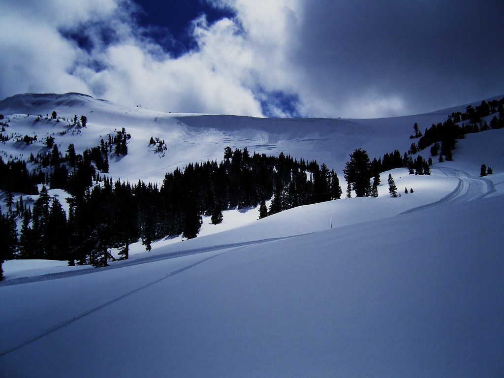 Silver Lake-Horse Canyon TrailHiking · ~10 min drivePhoto: JLH PHOTO, CC BY 2.0 (via Flickr)
 MinkaloHiking · ~10 min drivePhoto: sarahstierch, Public Domain Dedication (CC0) (via Flickr)
 Shealor LakeHiking · ~11 min drivePhoto: ray_explores, CC BY 2.0 (via Flickr)
 Underwood ValleyHiking · ~11 min drivePhoto: ilya_ktsn, CC BY 2.0 (via Flickr)
 Grouse ValleyHiking · ~11 min drivePhoto: tpeters11, CC BY 2.0 (via Wikimedia Commons)
 SHEALOR LAKEHiking · ~11 min drivePhoto: ray_explores, CC BY 2.0 (via Flickr)Lake ValleyHiking · ~10 min drivePhoto: ilya_ktsn, CC BY 2.0 (via Flickr)Pack TrailHiking · ~12 min drivePhoto: ilya_ktsn, CC BY 2.0 (via Flickr)
Best months: May–October. Best months have typical highs of 55–85 °F, lows of 30 °F or warmer (32 °F where the station doesn't record snow), at most one snowy day and no more than 12 wet days.
Jan
36° / 23°
9 wet
Feb
37° / 23°
8 wet
Mar
42° / 26°
7 wet
Apr
48° / 29°
5 wet
May
56° / 35°
4 wet
Jun
66° / 42°
2 wet
Jul
75° / 49°
2 wet
Aug
74° / 49°
1 wet
Sep
67° / 44°
2 wet
Oct
55° / 36°
3 wet
Nov
43° / 28°
5 wet
Dec
35° / 23°
7 wet
Typical high / low (°F) and days with rain or snow, 1991–2020. Measured at Dagget Pass, NV, 29.9 mi away at 7,334 ft. This station doesn't record snowfall. Source: NOAA NCEI U.S. Climate Normals 1991–2020.
Fire Restrictions are in Effect Forest Wide
Eldorado National Forest · Order dated September 22, 2026; seen Aug 23, 2026 → lifted Nov 2, 2026 · Forest Service

