Gould Mesa
Campground
Campground · 2.1 mi from the trail
Liz's Loop is an easy out-and-back hike of about 0.4 miles in Cherry Canyon Park, a city park in California, with the high point at about 1,571 feet. The route is short and gentle, with a total climb of about 200 feet round trip. It starts at a low of about 1,445 feet, and the steepest stretch comes within the first 0.05 miles. Spring and fall are the most comfortable times to go. Typical averages from the Pasadena weather station, about 5 miles away, show May highs near 78°F and November highs near 75°F. That station sits roughly 700 feet lower, so temperatures on the loop run a bit cooler. The trip takes about half an hour. The Conservancy Trail starts just 0.1 mile away, and the Owl Trail and Cerro Negro Trail are each within about 0.4 mile. For an overnight stay, Gould Mesa campground is about 2 miles off.
Gould Mesa
Campground
 If it rainsDoncram, CC BY-SA 3.0 · Wikimedia Commons
Historic American Craftsman era stone building in Tujunga, Los Angeles County, California
Places © OpenStreetMap contributors, Places © Overture Maps Foundation · Photos: Doncram, CC BY-SA 3.0 (commons)
More in Acton Owl TrailHikingPhoto: Demi Lucas, CC BY 3.0 (via Wikimedia Commons)0.3 miCerro Negro TrailHikingPhoto: Demi Lucas, CC BY 3.0 (via Wikimedia Commons)0.4 mi
 Big Tujunga CreekCanoeingPhoto: MajaTrochimczyk, CC BY 3.0 us (via Wikimedia Commons)6.8 mi
Source: Roamze catalog (indexable pages within 10 miles, PostGIS distance)
Owl TrailHiking · Next doorPhoto: Demi Lucas, CC BY 3.0 (via Wikimedia Commons)Cerro Negro TrailHiking · Next doorPhoto: Demi Lucas, CC BY 3.0 (via Wikimedia Commons) El Prieto TrailHiking · ~4 min drivePhoto: feverblue, CC BY-SA 2.0 (via Flickr)
 Gabrielino TrailHiking · ~5 min drivePhoto: Pintsmasher, CC BY 3.0 (via Wikimedia Commons)
 Nature Trial - UpperHiking · Next doorPhoto: Charlie Hohn, CC BY 4.0 (via Wikimedia Commons)Catalina Verdugo TrailHiking · ~1 min drivePhoto: Charlie Hohn, CC BY 4.0 (via Wikimedia Commons)
 Dark Canyon TrailHiking · ~7 min drivePhoto: Henrik Kibak, CC BY 4.0 (via Wikimedia Commons)Mountain Do TrailHiking · ~2 min drivePhoto: Demi Lucas, CC BY 3.0 (via Wikimedia Commons)La Canada Open Space TrailHiking · ~4 min drivePhoto: Pintsmasher, CC BY 3.0 (via Wikimedia Commons)
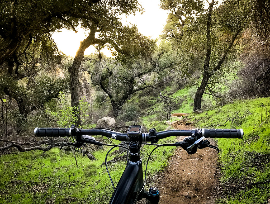 Sunset Ridge TrailHiking · ~7 min drivePhoto: Perfect Zero, CC BY 2.0 (via Flickr)
Also worth it near here
 Eagle RockRock climbing · ~6 min drivePhoto: Vahe Martirosyan, CC BY 2.0 (via Flickr)
 Altadena Crest TrailMountain biking · ~8 min drivePhoto: USMARINE0311 from California, United States, CC BY-SA 2.0 (via Wikimedia Commons)
Best months: October–June. Best months have typical highs of 55–85 °F, lows of 30 °F or warmer (32 °F where the station doesn't record snow), at most one snowy day and no more than 12 wet days.
Jan
68° / 45°
7 wet
Feb
69° / 46°
7 wet
Mar
73° / 48°
6 wet
Apr
76° / 51°
4 wet
May
78° / 54°
3 wet
Jun
84° / 58°
2 wet
Jul
89° / 62°
1 wet
Aug
91° / 63°
0 wet
Sep
90° / 62°
1 wet
Oct
83° / 56°
2 wet
Nov
75° / 50°
3 wet
Dec
67° / 45°
6 wet
Typical high / low (°F) and days with rain or snow, 1991–2020. Measured at Pasadena, CA, 4.8 mi away at 864 ft. The station sits about 700 ft lower than this place, so expect it a little cooler here. Source: NOAA NCEI U.S. Climate Normals 1991–2020.
Map and trail data © OpenStreetMap contributors
