Lakeview Slab Rock Climbing Approach
- 0.5 mi
- round trip
- 747 ft
- climb
- 1,938 ft
- high point
- Out and back
- route
- Oct–May
- best months
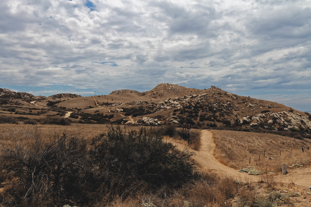
Lakeview Slab Rock Climbing Approach is a short, out-and-back hike in California's San Jacinto Wildlife Area, managed by State Fish and Wildlife. It covers about a mile, with a low point of 1,433 feet and a high of 1,938 feet, and the climb is rated easy. The route begins at the lower end of the San Jacinto Wildlife Area and works its way up to the Lakeview Slab climbing area, which sits about half a mile away. The hike is a little over a mile round trip, and it takes about half an hour to complete. Spring and fall are the most comfortable times to go. Typical averages from a nearby weather station show April highs around 74°F with lows near 44°F, and October highs around 82°F with lows near 49°F. Midsummer highs reach the mid-90s. L-Slab/Lakeview Slab is the climbing area closest to the top of the approach. Beach Boulders (aka The Mystic Boulders) and Bernasconi Ridge are also within about a mile and a half. Paddlers can head to the San Jacinto River, about 6 miles away.
- L-Slab/Lakeview SlabRock climbing0.5 mi
- Beach Boulders (aka The Mystic Boulders)Rock climbing1.2 mi
- Bernasconi RidgeRock climbing1.4 mi
- Big Rock Sport BoulderRock climbing1.5 mi
- Juan Bautista TrailHiking3.8 mi
- San Jacinto RiverCanoeing5.8 mi
- Cold Creek TrailHiking6.5 mi
- Dagget Creek PathHiking9.8 mi
Source: Roamze catalog (indexable pages within 10 miles, PostGIS distance)
 Prairie TrailHiking · ~19 min drivePhoto: inkknife_2000 (7.5 million views +), CC BY-SA 2.0 (via Wikimedia Commons)
 "M" TrailHiking · ~19 min drivePhoto: grimneko, CC BY-SA 2.0 (via Flickr)
 Oakmont TrailHiking · ~20 min drivePhoto: inkknife_2000 (7.5 million views +), CC BY-SA 2.0 (via Wikimedia Commons)
 Two Trees TrailHiking · ~22 min drivePhoto: grimneko, CC BY-SA 2.0 (via Flickr)
 Phoenix TrailHiking · ~20 min drivePhoto: inkknife_2000 (7.5 million views +), CC BY-SA 2.0 (via Wikimedia Commons)
 Skyline Loop # 1Hiking · ~22 min drivePhoto: grimneko, CC BY-SA 2.0 (via Flickr)
 Crest TrailHiking · ~21 min drivePhoto: inkknife_2000 (7.5 million views +), CC BY-SA 2.0 (via Wikimedia Commons)
- West RidgeHiking · ~22 min drive
- Little Live Oak Canyon TrailHiking · ~21 min drivePhoto: inkknife_2000 (7.5 million views +), CC BY-SA 2.0 (via Wikimedia Commons)
- Creek to FlagHiking · ~23 min drive
Best time to visit Lakeview Slab Rock Climbing Approach
Best months: October–May. Best months have typical highs of 55–85 °F, lows of 30 °F or warmer (32 °F where the station doesn't record snow), at most one snowy day and no more than 12 wet days.
Jan
66° / 37°
Feb
66° / 38°
Mar
71° / 40°
Apr
74° / 44°
May
80° / 51°
Jun
87° / 56°
Jul
94° / 62°
Aug
95° / 62°
Sep
92° / 59°
Oct
82° / 49°
Nov
72° / 41°
Dec
65° / 37°
Typical high / low (°F) and days with rain or snow, 1991–2020. Measured at March Afb, CA, 7.3 mi away at 1,516 ft. This station doesn't record snowfall. Source: NOAA NCEI U.S. Climate Normals 1991–2020.
Map and trail data © OpenStreetMap contributors
