Cold Creek Trail
- 1.4 mi
- round trip
- 523 ft
- climb
- 1,864 ft
- high point
- Out and back
- route
- Oct–May
- best months
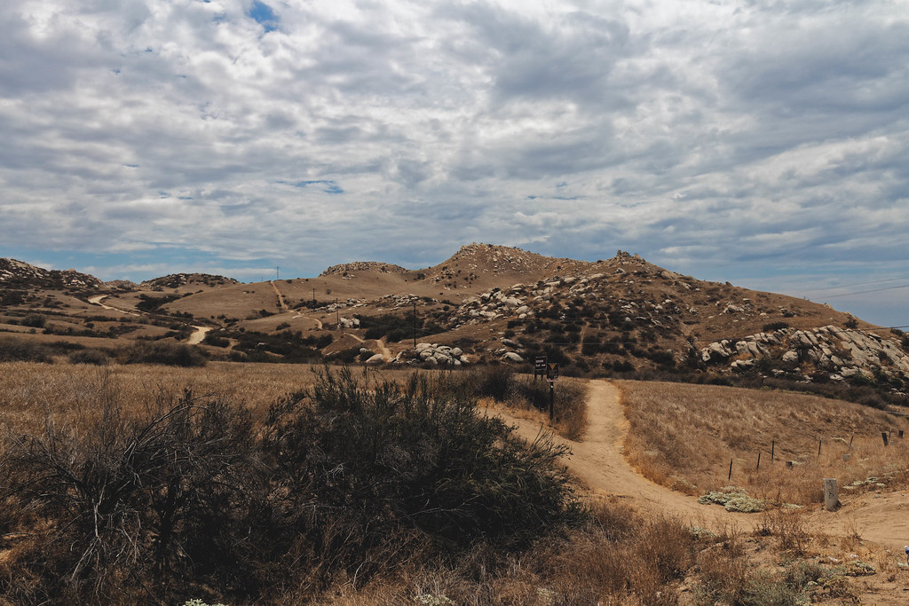
Cold Creek Trail is an easy out-and-back hike in California, about 1.8 miles from the town of Moreno. The trail is roughly 2.7 miles long, with a total climb of about 523 feet and a high point of about 1,864 feet. The route is rolling rather than steep, and the steepest section comes at about 0.64 miles in, with a grade of about 8 percent. Spring and fall are the most comfortable times to go. Typical averages from a nearby weather station show April highs around 74°F and October highs around 82°F, while July and August average in the mid-90s. That station sits a few hundred feet lower than the trail's high point, so temperatures on the ridge run a little cooler. Within about five miles are the Big Rock Area climbing area and the Juan Bautista Trail. The "M" Trail and Beach Boulders (aka The Mystic Boulders) are a little farther out.
- Big Rock AreaRock climbing4.8 mi
- Juan Bautista TrailHiking4.9 mi
 "M" TrailHikingPhoto: grimneko, CC BY-SA 2.0 (via Flickr)5.8 mi
- Beach Boulders (aka The Mystic Boulders)Rock climbing6.1 mi
 Prairie TrailHikingPhoto: inkknife_2000 (7.5 million views +), CC BY-SA 2.0 (via Wikimedia Commons)6.2 mi
- L-Slab/Lakeview SlabRock climbing6.2 mi
- San Timoteo WashCanoeing9.1 mi
 Santa Ana RiverCanoeingPhoto: Basar, CC BY-SA 3.0 (via Wikimedia Commons)9.6 mi
Source: Roamze catalog (indexable pages within 10 miles, PostGIS distance)
- "M" TrailHiking · ~10 min drivePhoto: grimneko, CC BY-SA 2.0 (via Flickr)
- Prairie TrailHiking · ~11 min drivePhoto: inkknife_2000 (7.5 million views +), CC BY-SA 2.0 (via Wikimedia Commons)
 Crafton Hills Ridge TrailHiking · ~20 min drivePhoto: inkknife_2000 (7.5 million views +), CC BY-SA 2.0 (via Wikimedia Commons)
 Two Trees TrailHiking · ~12 min drivePhoto: grimneko, CC BY-SA 2.0 (via Flickr)
 Teddy's TrailHiking · ~11 min drivePhoto: inkknife_2000 (7.5 million views +), CC BY-SA 2.0 (via Wikimedia Commons)
 Skyline Loop # 1Hiking · ~12 min drivePhoto: grimneko, CC BY-SA 2.0 (via Flickr)
 Cocomaricopa TrailHiking · ~11 min drivePhoto: inkknife_2000 (7.5 million views +), CC BY-SA 2.0 (via Wikimedia Commons)
 City TrailHiking · ~18 min drivePhoto: inkknife_2000 (7.5 million views +), CC BY-SA 2.0 (via Wikimedia Commons)
 Oakmont TrailHiking · ~12 min drivePhoto: inkknife_2000 (7.5 million views +), CC BY-SA 2.0 (via Wikimedia Commons)
- Dump TrailHiking · ~19 min drivePhoto: inkknife_2000 (7.5 million views +), CC BY-SA 2.0 (via Wikimedia Commons)
Best time to visit Cold Creek Trail
Best months: October–May. Best months have typical highs of 55–85 °F, lows of 30 °F or warmer (32 °F where the station doesn't record snow), at most one snowy day and no more than 12 wet days.
Jan
66° / 37°
Feb
66° / 38°
Mar
71° / 40°
Apr
74° / 44°
May
80° / 51°
Jun
87° / 56°
Jul
94° / 62°
Aug
95° / 62°
Sep
92° / 59°
Oct
82° / 49°
Nov
72° / 41°
Dec
65° / 37°
Typical high / low (°F) and days with rain or snow, 1991–2020. Measured at March Afb, CA, 4.1 mi away at 1,516 ft. This station doesn't record snowfall. Source: NOAA NCEI U.S. Climate Normals 1991–2020.
Map and trail data © OpenStreetMap contributors
