Sky Campground
Campground
Campground · 2.3 mi from the trail
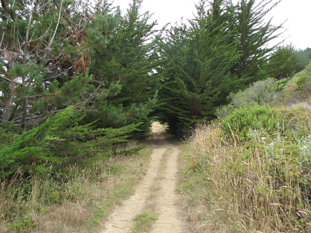 Photo: Buddha Dog, CC BY-SA 2.0 (via Flickr)
Closure in the area
There's a closure order in Point Reyes National Seashore. It doesn't name Muddy Hollow Road Trail, so check the source for the area it covers (2 listed).
Road Closures and Advisories: Mt. Vision Road & Limantour Road
Park closure covering Point Reyes National Seashore · NPS · Point Reyes National Seashore
Delayed Openings: Bear Valley and Lighthouse Visitor Centers
Park closure covering Point Reyes National Seashore · NPS · Point Reyes National Seashore
Beach Hazards Statement and High Surf Warning in effect through 11/15
Park alert covering Point Reyes National Seashore · NPS · Point Reyes National Seashore
As of · Source: NPS · Point Reyes National Seashore. Agencies don't list every closure — check before you go.
Muddy Hollow Road Trail is a 1.72-mile out-and-back route in California managed by the National Park Service. The trail gains 190 feet of elevation.
Sky Campground
Campground
 If it rainsasmartalec, CC BY 2.0 · Wikimedia Commons
Places © OpenStreetMap contributors · Photos: asmartalec, CC BY 2.0 (commons)
More in TemelecNot on Roamze yet. Their page has how to reach them.
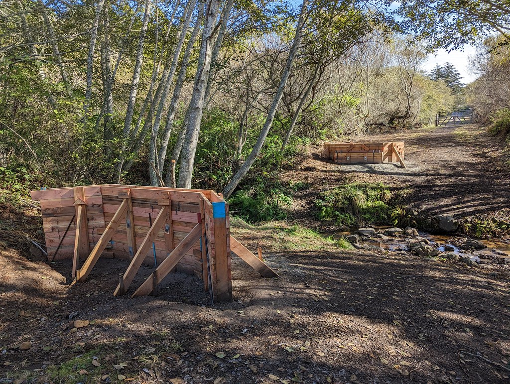 Estero TrailHiking · Next doorPhoto: Jesse Wagstaff, CC BY 2.0 (via Flickr)
 Drakes View TrailHiking · Next doorPhoto: Buddha Dog, CC BY-SA 2.0 (via Flickr)Muddy Hollow TrailHiking · Next doorPhoto: Jesse Wagstaff, CC BY 2.0 (via Flickr)
 Inverness Ridge TrailHiking · ~3 min drivePhoto: Jesse Wagstaff, CC BY 2.0 (via Flickr)
 Bucklin TrailHiking · ~1 min drivePhoto: Buddha Dog, CC BY-SA 2.0 (via Flickr)
 Glenbrook TrailHiking · ~2 min drivePhoto: Jesse Wagstaff, CC BY 2.0 (via Flickr)
 Coast TrailHiking · ~4 min drivePhoto: lamblukas, CC BY 2.0 (via Flickr)
 Bayview TrailHiking · ~2 min drivePhoto: Buddha Dog, CC BY-SA 2.0 (via Flickr)
 Fire Lane TrailHiking · ~2 min drivePhoto: lamblukas, CC BY 2.0 (via Flickr)
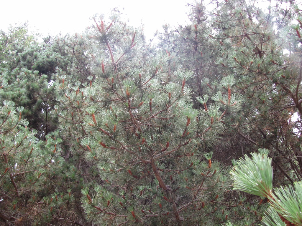 Laguna TrailHiking · ~3 min drivePhoto: Buddha Dog, CC BY-SA 2.0 (via Flickr)
