Kern Canyon Trail
- 2.0 mi
- round trip
- 1,535 ft
- climb
- 2,773 ft
- high point
- Out and back
- route
- Feb–May, Oct–Nov
- best months
Caution at last check
Agency alerts are in effect for this area; weather is good · USFS, OpenWeather · checked 21 h ago
Is Kern Canyon Trail open right now?
Closure in the area
There's a closure order in Sequoia National Forest. It doesn't name Kern Canyon Trail, so check the source for the area it covers (2 listed).
Tule River Glass Container Prohibition Area
Agency closure covering Sequoia National Forest · Order 0513-26-02 · USFS · Sequoia National Forest
Trail of 100 Giants Boardwalk and Area Closure
Agency closure covering Sequoia National Forest · Order 0513-26-03 · USFS · Sequoia National Forest
PUBLIC NUDITY PROHIBITION - Sequoia National Forest
Agency alert covering Sequoia National Forest · Order 0513-26-06 · USFS · Sequoia National Forest
Chico Flat Dispersed Camping Area Prohibition 26-27
Agency alert covering Sequoia National Forest · Order 0513-26-09 · USFS · Sequoia National Forest
Wildlife Alert - BEARS
Agency alert covering Sequoia National Forest · USFS · Sequoia National Forest
As of · Source: USFS · Sequoia National Forest. Agencies don't list every closure — check before you go.
Kern Canyon Trail is a 4-mile out-and-back hike in California's Sequoia National Forest, within the Kern River Ranger District. The Forest Service manages the land, and the trail rises from about 2,600 feet to a high point of 2,773 feet, with a total elevation gain of 1,535 feet over the round trip. The climb is steady, with the steepest stretch at about 1.5 miles, where the grade reaches 17%. The trail is rated moderate. Spring and fall are the most comfortable times to go. Typical averages from a nearby weather station run from highs around 73°F in April to 81°F in October, while July and August average highs near 98°F. The trip takes about two hours. Rec. Mine Trail lies half a mile away, and Keysville Classic Trail is about a mile off. Sandy Flat campground is 1.5 miles away, and Hobo Campground is about 2 miles away.
- Rec. Mine TrailHiking0.5 mi
- Keysville Classic TrailHiking1.2 mi
- Sandy FlatCamping1.5 mi
- Hobo CampgroundCamping2.1 mi
- Launch 19 Boating SiteLake fishing4.1 mi
- Bald Eagle PeakRock climbing4.9 mi
- Old IsabellaLake fishing5.1 mi
- Campground 61Rock climbing5.7 mi
Source: Roamze catalog (indexable pages within 10 miles, PostGIS distance)
 Hobo FishingHiking · ~3 min drivePhoto: waterarchives, CC BY-SA 2.0 (via Flickr)
 Remington Ridge TrailHiking · ~4 min drivePhoto: daveynin, CC BY 2.0 (via Flickr)
 Coso Mine LoopHiking · ~9 min drivePhoto: bahniuk, CC BY 3.0 (via Wikimedia Commons)
- Borderline TrailHiking · ~6 min drive
- Vista Del LagoHiking · ~8 min drivePhoto: bahniuk, CC BY 3.0 (via Wikimedia Commons)
 MILL CREEKHiking · ~12 min drivePhoto: Terry Lucas, CC BY 3.0 (via Wikimedia Commons)
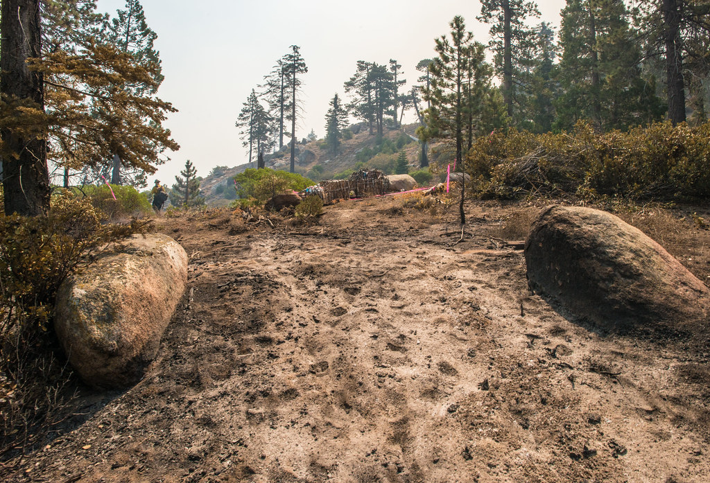 BLACK MOUNTAIN SADDLEHiking · ~16 min drivePhoto: USDAgov, Public Domain Mark (via Flickr)
- Just Outstanding TrailHiking · ~12 min drive
- Patch CornerHiking · ~13 min drivePhoto: Terry Lucas, CC BY 3.0 (via Wikimedia Commons)
- KERN CANYONHiking · ~9 min drive
Best time to visit Kern Canyon Trail
Best months: February–May and October–November. Best months have typical highs of 55–85 °F, lows of 30 °F or warmer (32 °F where the station doesn't record snow), at most one snowy day and no more than 12 wet days.
Jan
59° / 30°
Feb
62° / 33°
Mar
67° / 36°
Apr
73° / 40°
May
82° / 52°
Jun
92° / 59°
Jul
98° / 65°
Aug
98° / 62°
Sep
91° / 55°
Oct
81° / 43°
Nov
69° / 34°
Dec
58° / 30°
Typical high / low (°F) and days with rain or snow, 1991–2020. Measured at S Lake Fs, CA, 9.8 mi away at 2,654 ft. This station doesn't record snowfall. Source: NOAA NCEI U.S. Climate Normals 1991–2020.
Map and trail data © OpenStreetMap contributors
