Launch 19 Boating Site
- Feb–May, Oct–Nov
- best months
Is Launch 19 Boating Site open right now?
Closure in the area
There's a closure order in Sequoia National Forest. It doesn't name Launch 19 Boating Site, so check the source for the area it covers (2 listed).
Tule River Glass Container Prohibition Area
Agency closure covering Sequoia National Forest · Order 0513-26-02 · USFS · Sequoia National Forest
Trail of 100 Giants Boardwalk and Area Closure
Agency closure covering Sequoia National Forest · Order 0513-26-03 · USFS · Sequoia National Forest
PUBLIC NUDITY PROHIBITION - Sequoia National Forest
Agency alert covering Sequoia National Forest · Order 0513-26-06 · USFS · Sequoia National Forest
Chico Flat Dispersed Camping Area Prohibition 26-27
Agency alert covering Sequoia National Forest · Order 0513-26-09 · USFS · Sequoia National Forest
Wildlife Alert - BEARS
Agency alert covering Sequoia National Forest · USFS · Sequoia National Forest
As of · Source: USFS · Sequoia National Forest. Agencies don't list every closure — check before you go.
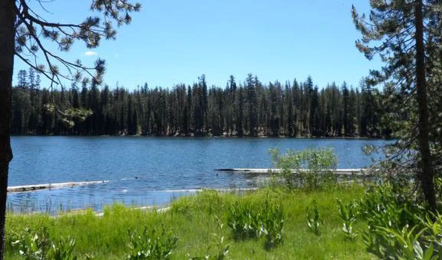
Launch 19 Boating Site is a Forest Service fishing access point in the Kern River Ranger District of Sequoia National Forest in California. It sits within the Sequoia National Forest, managed by the Forest Service, and is not a reservable site. Spring and fall are the most comfortable times to visit. Typical averages from a nearby weather station show April highs around 73°F and October highs around 81°F, while July and August average highs near 98°F. Main Dam Campground is about half a mile away, and Pioneer Point is about 0.7 miles off. Old Isabella, another lake fishing spot, is about 1.1 miles away, and the Vista Del Lago hike is about 1.2 miles away.
Best time to go · Feb–May, Oct–Nov
Best time to visit Launch 19 Boating Site
Best months: February–May and October–November. Best months have typical highs of 55–85 °F, lows of 30 °F or warmer (32 °F where the station doesn't record snow), at most one snowy day and no more than 12 wet days.
Jan
59° / 30°
Feb
62° / 33°
Mar
67° / 36°
Apr
73° / 40°
May
82° / 52°
Jun
92° / 59°
Jul
98° / 65°
Aug
98° / 62°
Sep
91° / 55°
Oct
81° / 43°
Nov
69° / 34°
Dec
58° / 30°
Typical high / low (°F) and days with rain or snow, 1991–2020. Measured at S Lake Fs, CA, 6.4 mi away at 2,654 ft. This station doesn't record snowfall. Source: NOAA NCEI U.S. Climate Normals 1991–2020.
Keep exploring — more waters worth the drive
SEE
Stine Cove Fishing Site
~8 min drive
SEE
Tillie Creek Launch Ramp Boating Site
~6 min drive
SEE
Hanning Flat Dispersed Area
~11 min drive
SEE
Kern River Ranger District
~14 min drive
SEE
Hart Park Lake
~49 min drive
Hart Park Lake is a 21-acre lake near Bakersfield, California, at about 481 feet.
SEE
Costa's Twin Lakes
~1h 3m drive
Costa's Twin Lakes is a 11-acre lake near Springville, California, at about 824 feet.
SEE
Brite Valley Reservoir
~1h 4m drive
Brite Valley Reservoir is a 54-acre reservoir near Tehachapi, California, at about 4,358 feet.
SEE
Rocky Hill Recreation Area
~1h 6m drive
SEE
Coyote Lakes
~1h 18m drive
Coyote Lakes is a 14-acre lake near Inyokern, California, at about 10,060 feet. It is managed by the U.S. Forest Service.
SEE
Crytes Lake
~1h 24m drive
Crytes Lake is a 17-acre lake near Inyokern, California, at about 10,840 feet. It is managed by the National Park Service.

