Kennedy Pass South
- 3.9 mi
- round trip
- 3,010 ft
- climb
- 10,806 ft
- high point
- Out and back
- route
Is Kennedy Pass South open right now?
No closures listed
The National Park Service lists no closures for Kings Canyon National Park.
As of · Source: NPS · Kings Canyon National Park. Agencies don't list every closure — check before you go.
Kennedy Pass South is a hard hike in Kings Canyon National Park, within the Sequoia-Kings Canyon Wilderness in California. The route is an out-and-back that climbs from about 7,750 feet to 10,806 feet, a gain of 3,010 feet over 7.8 miles. The National Park Service manages the land. The trail starts at a low point of about 7,750 feet and rises to the high point of 10,806 feet. The climb is steep, and the route is rated hard, so plan for a long day on foot. Grizzly Lake and Frypan Entrance are both within half a mile, making them easy add-ons. Cedar Grove Boulders and the Kings Canyon climbing area are a little over 3 miles away.
Local outfitters
- Glacier Lodge24 mi away
- Rainbow Pack Outfitters24 mi away
Not on Roamze yet. Their page has how to reach them.
 Grizzly LakeHikingPhoto: Tom Hilton, CC BY 2.0 (via Wikimedia Commons)0.3 mi
- Frypan EntranceHikingPhoto: Tom Hilton, CC BY 2.0 (via Wikimedia Commons)0.5 mi
- Cedar Grove BouldersRock climbing2.9 mi
- Kings CanyonRock climbing3.6 mi
 South Fork Kings RiverCanoeingPhoto: Daniel Mayer (mav), CC BY-SA 3.0 (via Wikimedia Commons)4.6 mi
- Sentinel CampgroundSaltwater fishing4.6 mi
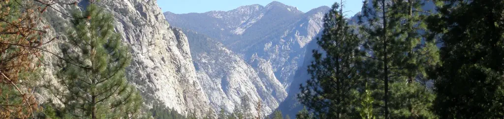 Canyon View Group SitesCampingPhoto: Recreation.gov (RIDB) / public domain5 mi
- Convict Flat CampgroundCamping7.9 mi
Source: Roamze catalog (indexable pages within 10 miles, PostGIS distance)
- Grizzly LakeHiking · Next doorPhoto: Tom Hilton, CC BY 2.0 (via Wikimedia Commons)
- Happy GapHiking · ~1 min drivePhoto: Tom Hilton, CC BY 2.0 (via Wikimedia Commons)
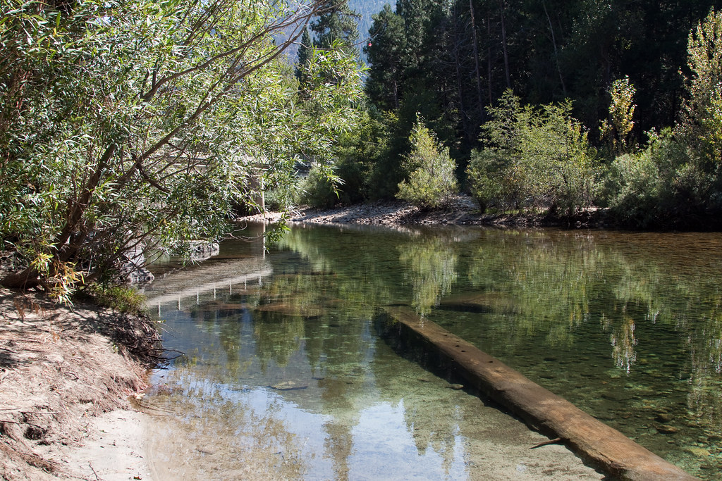 Upper Lewis CreekHiking · ~5 min drivePhoto: jimmyharris, CC BY 2.0 (via Flickr)
- Copper CreekHiking · ~13 min drive
- Frypan EntranceHiking · Next doorPhoto: Tom Hilton, CC BY 2.0 (via Wikimedia Commons)
- Lewis Creek TrailheadHiking · ~6 min drive
- Lower Lewis CreekHiking · ~6 min drivePhoto: jimmyharris, CC BY 2.0 (via Flickr)
- Hotel-Lewis ConnectorHiking · ~6 min drivePhoto: jimmyharris, CC BY 2.0 (via Flickr)
- Don Cecil TrailheadHiking · ~8 min drive
 Hotel-CreekHiking · ~8 min drivePhoto: NPS staff, Public domain (via Wikimedia Commons)
