Hope Valley
Campground
Campground · 1.1 mi from the trail
Closure in the area
There's a closure order in Lake Tahoe Basin Management Unit. It doesn't name Star Lake Trail, so check the source for the area it covers.
Harmful Algal Blooms
Agency closure covering Lake Tahoe Basin Management Unit · USFS · Lake Tahoe Basin Management Unit
Desolation Wilderness Food and Refuse Storage (Bear Canister) Restriction
Agency alert covering Lake Tahoe Basin Management Unit · Order 19-25-06 · USFS · Lake Tahoe Basin Management Unit
Meyers Landfill Area Closure
Agency alert covering Lake Tahoe Basin Management Unit · Order 19-25-01 · USFS · Lake Tahoe Basin Management Unit
Campfire Restrictions
Agency alert covering Lake Tahoe Basin Management Unit · Order 19-24-04 · USFS · Lake Tahoe Basin Management Unit
Camping/Overnight Stay Restriction
Agency alert covering Lake Tahoe Basin Management Unit · Order 19-24-05 · USFS · Lake Tahoe Basin Management Unit
As of · Source: USFS · Lake Tahoe Basin Management Unit. Agencies don't list every closure — check before you go.
Star Lake Trail is a hard hike in California's Lake Tahoe Basin Management Unit, managed by the Forest Service. The route is an out-and-back of about 7.7 miles, with a one-way elevation gain of 1,260 feet. It starts at a low point of about 7,848 feet and climbs to a high point of about 9,122 feet. The trail is a long, steep climb, and the high point sits well above the starting elevation. The route is rated hard, so plan for a full day on foot. Hope Valley campground is about a mile away, and the Monument Pass Trail is about 1.9 miles off. Trout Creek, a canoeing spot, and The Dana Boulder, a climbing area, are both about 3 miles away.
Hope Valley
Campground
Sky Deck
Pub
Marcus Ashley Galllery
Gallery
Places © OpenStreetMap contributors
More in Sunnyside-Tahoe CityNot on Roamze yet. Their page has how to reach them.
 Photo: DaltonKat2, CC BY-SA 2.0 (via Flickr)
High Meadows Spur Trail
~3 min drive
1.06-mile out-and-back trail in California with 168 ft elevation gain.
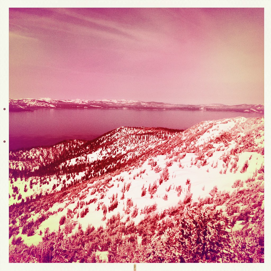 Photo: denverkid, CC BY 2.0 (via Flickr)
Monument Pass Trail
~3 min drive
5.3-mile out-and-back trail in California with 2,249 ft elevation gain and loss.
Photo: DaltonKat2, CC BY-SA 2.0 (via Flickr)Cold Creek Trail
~4 min drive
11-mile out-and-back hike in California with 1,574 ft elevation gain.
Photo: DaltonKat2, CC BY-SA 2.0 (via Flickr)Lower Cold Creek Trail
~4 min drive
1.14-mile out-and-back hike in California with 271 ft gain/loss.
HIKE
Freel Peak Trail
~4 min drive
1.9-mile out-and-back trail in California with 1,590 ft gain and 10,841 ft max elevation.
Photo: DaltonKat2, CC BY-SA 2.0 (via Flickr)Power Line Trail
~4 min drive
7.14-mile out-and-back hike in California with 508 ft elevation gain.
 Photo: inkknife_2000 (7.5 million views +), CC BY-SA 2.0 (via Wikimedia Commons)
Cal Neva Loop
~7 min drive
0.57-mile out-and-back trail in Nevada with 257 ft elevation gain.
HIKE
Armstrong Pass Trail
~5 min drive
5.70-mile out-and-back hike in California with 1,425 ft elevation gain.
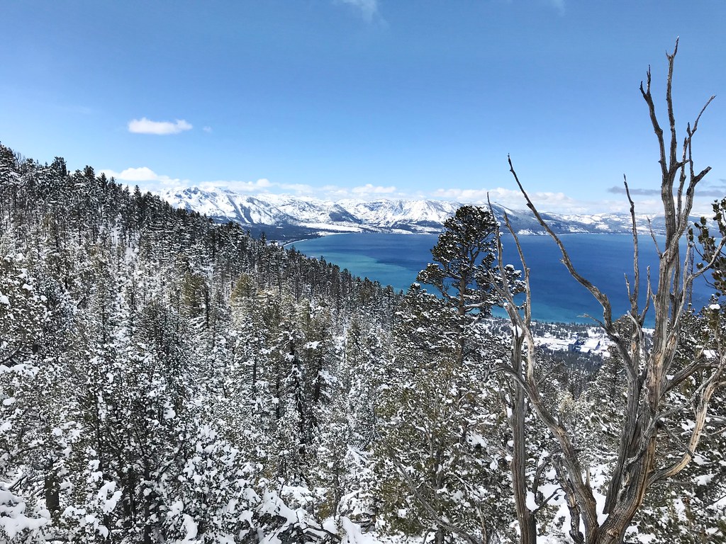 Photo: jfdervin, CC BY-SA 2.0 (via Flickr)
Van Sickle Trail
~8 min drive
6.50-mile out-and-back trail in Nevada with 862 ft gain and 2,258 ft loss.
 Photo: inkknife_2000 (7.5 million views +), CC BY-SA 2.0 (via Wikimedia Commons)
K to K Trail
~7 min drive
1.22-mile out-and-back trail in Nevada with 560 ft gain.

