Jeffrey Pine Trail
- 0.4 mi
- round trip
- 163 ft
- climb
- 5,181 ft
- high point
- Out and back
- route
- Apr–Jun, Sep–Oct
- best months
Jeffrey Pine Trail is an easy hike on Bureau of Land Management land in California's Sierra Front Field Office, part of the BLM's Sierra Front Field Office. The out-and-back route is short, about 0.86 miles round trip, with a total elevation gain of 163 feet, and it starts and ends near 5,170 feet. The steepest stretch comes at about 0.29 miles in, where the grade reaches 9%. The most comfortable months for a visit are late spring and early fall. Typical averages from a nearby weather station in Minden, Nevada, show May highs around 73°F and September highs around 83°F, with July and August climbing into the 90s. Winter brings lows near 19°F and a few snowy days a month from December through February. The trail pairs well with other nearby outings. The Interpretive Loop is about 0.2 miles away and the Grand View Loop about 0.3 miles. Farther afield, the West Fork Carson River offers canoeing about 3.8 miles off, and Crystal Springs Campground sits roughly 6.8 miles away.
Local outfitters
- Alpenglow Expeditions33 mi away
Not on Roamze yet. Their page has how to reach them.
- Interpretive LoopHiking0.2 mi
- Grand View LoopHiking0.3 mi
 West Fork Carson RiverCanoeingPhoto: Skooiman at English Wikipedia, Public domain (via Wikimedia Commons)3.8 mi
- Deadwood WallRock climbing6 mi
- Deadwood CragsRock climbing6 mi
- Crystal Springs CampgroundCamping6.8 mi
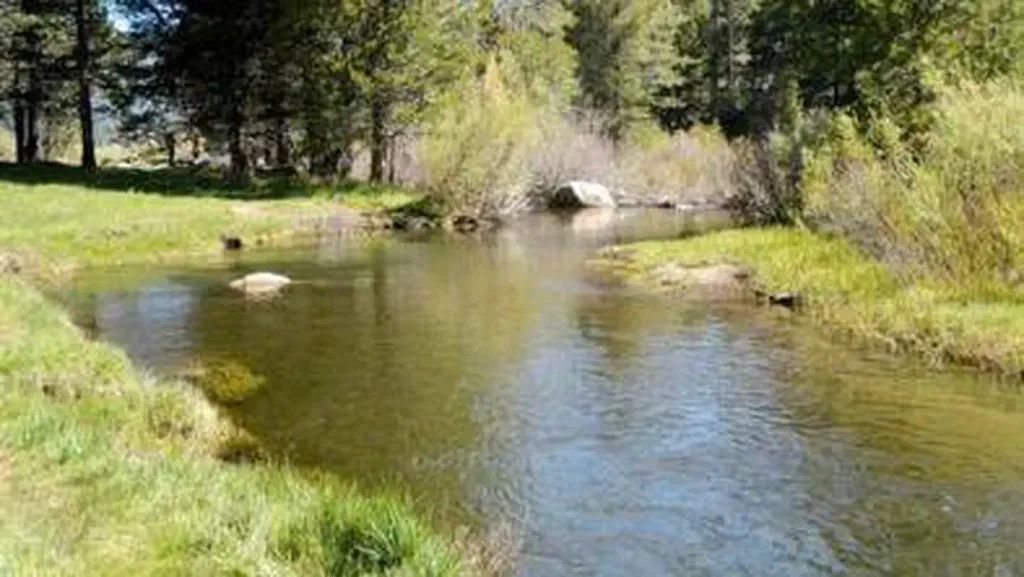 Hope ValleyCampingPhoto: Recreation.gov (RIDB) / public domain6.9 mi
- Trout CreekCanoeing8.4 mi
Source: Roamze catalog (indexable pages within 10 miles, PostGIS distance)
 Appaloosa TrailHiking · ~1 min drivePhoto: Jim Morefield, CC BY-SA 2.0 (via Flickr)
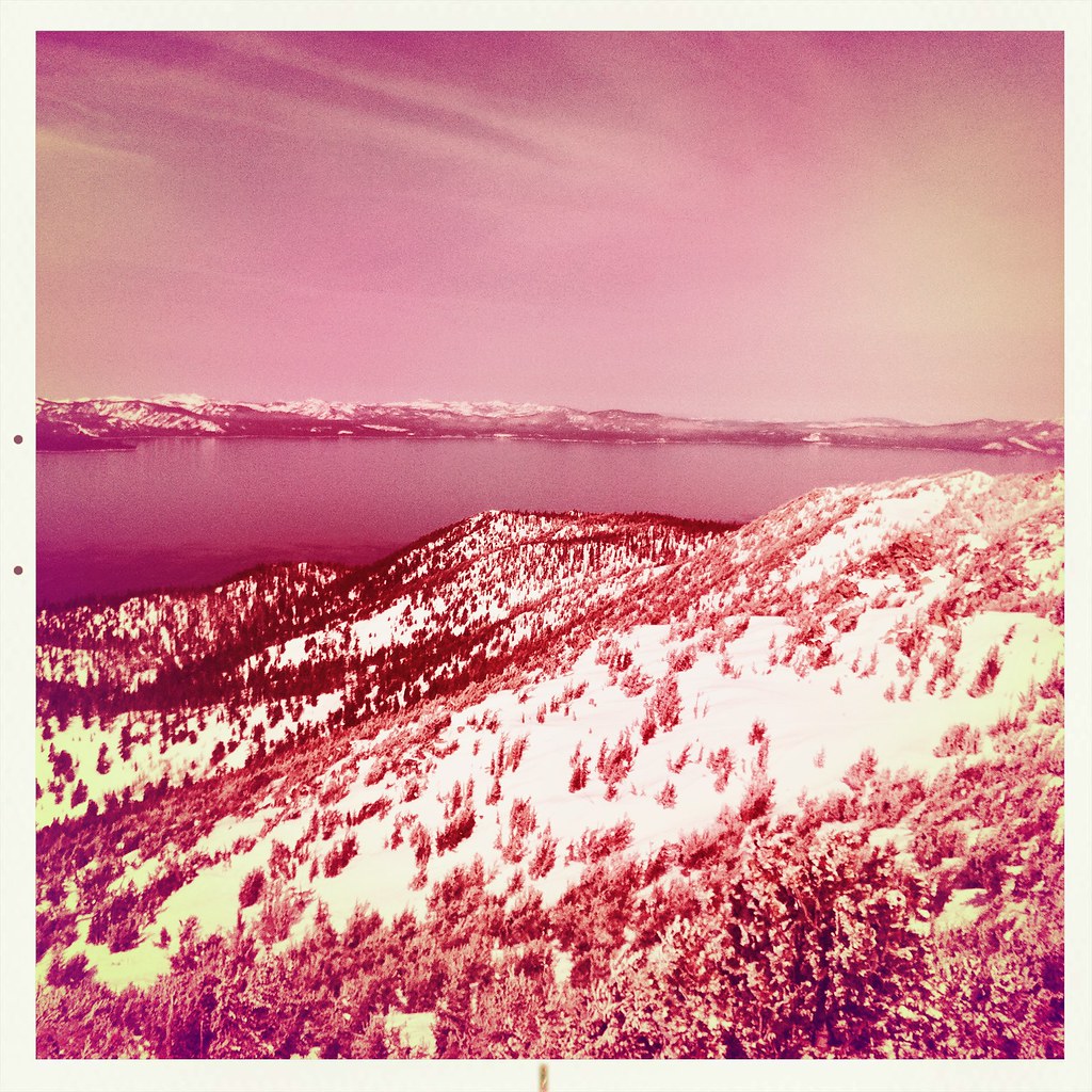 Monument Pass TrailHiking · ~10 min drivePhoto: denverkid, CC BY 2.0 (via Flickr)
 Cold Creek TrailHiking · ~13 min drivePhoto: DaltonKat2, CC BY-SA 2.0 (via Flickr)
- Lonesome TrailHiking · ~1 min drivePhoto: Jim Morefield, CC BY-SA 2.0 (via Flickr)
 4-Second Climbing TrailHiking · ~12 min drivePhoto: simonov, CC BY-SA 2.0 (via Flickr)
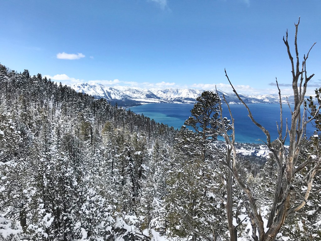 Van Sickle TrailHiking · ~14 min drivePhoto: jfdervin, CC BY-SA 2.0 (via Flickr)
- High Meadows Spur TrailHiking · ~13 min drivePhoto: DaltonKat2, CC BY-SA 2.0 (via Flickr)
 HorsethiefHiking · ~12 min drivePhoto: UncleVinny, CC BY 3.0 (via Wikimedia Commons)
- Power Line TrailHiking · ~13 min drivePhoto: DaltonKat2, CC BY-SA 2.0 (via Flickr)
 Olympic TrailHiking · ~13 min drivePhoto: jfdervin, CC BY-SA 2.0 (via Flickr)
Also worth it near here
 Jobs PeakSummit · ~5 min drivePhoto: beth woodrum from Kingman, Arizona, USA, CC BY 2.0 (via Wikimedia Commons)
- West Fork Carson RiverCanoeing · ~7 min drivePhoto: Skooiman at English Wikipedia, Public domain (via Wikimedia Commons)
- Star LakeLake fishing · ~7 min drive
- Carson River Takeout Boating SiteBoat launch · ~11 min drive
Best time to visit Jeffrey Pine Trail
Best months: April–June and September–October. Best months have typical highs of 55–85 °F, lows of 30 °F or warmer (32 °F where the station doesn't record snow), at most one snowy day and no more than 12 wet days.
Jan
47° / 19°
6 wet · 3 snow
Feb
51° / 22°
6 wet · 2 snow
Mar
58° / 27°
5 wet · 2 snow
Apr
64° / 30°
4 wet · 1 snow
May
73° / 38°
3 wet
Jun
83° / 44°
2 wet
Jul
91° / 49°
2 wet
Aug
90° / 47°
2 wet
Sep
83° / 40°
2 wet
Oct
71° / 31°
3 wet
Nov
57° / 23°
4 wet · 1 snow
Dec
46° / 19°
6 wet · 2 snow
Typical high / low (°F) and days with rain or snow, 1991–2020. Measured at Minden, NV, 6.8 mi away at 4,709 ft. Source: NOAA NCEI U.S. Climate Normals 1991–2020.
Map and trail data © OpenStreetMap contributors
