Loading…

Free — you'll pick up right here.
Watch this trail
Sign up to watch it — saving subscribes you to gate, closure and report changes.
California
1,465 ft
Gain
We won't guess. Here is exactly what we do and don't know.
What we do know
Inside Sequoia National Park
National Park unit boundary is mapped — agency alerts for it feed this page automatically.
Boundary data
What's missing
No access route mapped
We don't yet know which road reaches this trailhead, so we can't tell you if it's gated.
Nobody's filed a report here yet — be the first.
Why you'll love it
Hospital Rock River Trailhead
AI-suggested draft · review before you go
No permit or access details on file for this trail — check with the local land manager before you go.
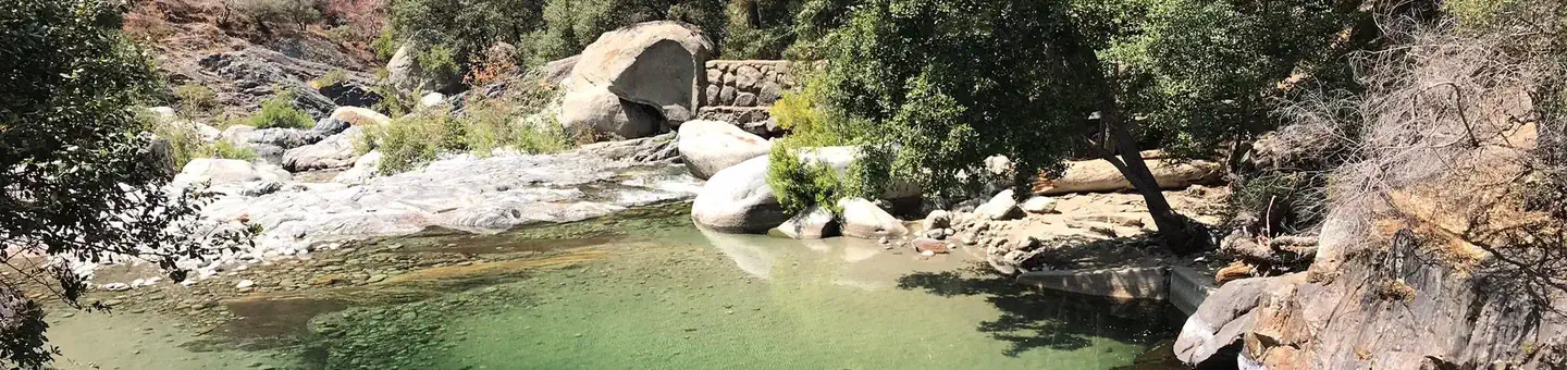
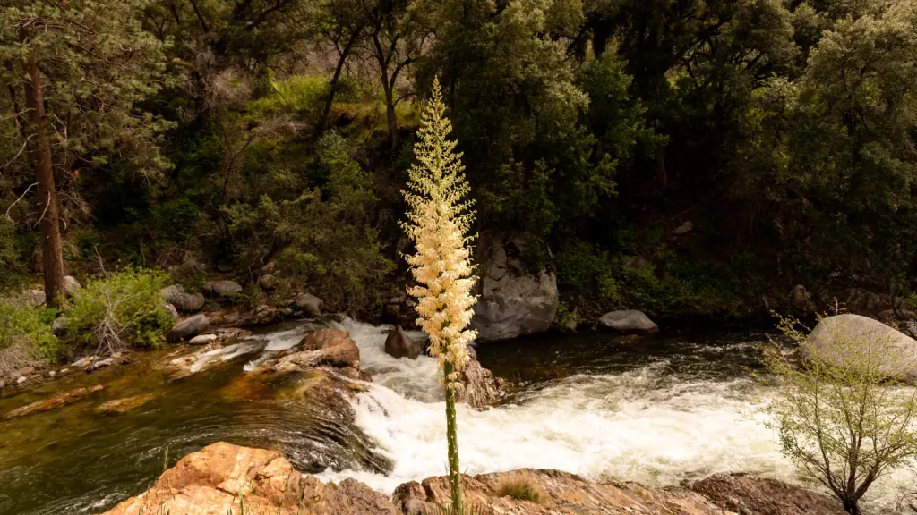
<p>A short steep downhill climb will lead you to the Kaweah River, which is one of the most scenic spots in all of the foothill region of the park. The water can be dramatic especially during spring and early summer when the snow is melting.</p> <h4>Safety </h4> <p>Be careful if you head to the river. Even when the water seems calm the current beneath the surface can be flowing swiftly. Drowning is the most common cause of death in Sequoia and Kings Canyon National Parks. People sometimes slip and fall in, then find it impossible to get back out.</p>
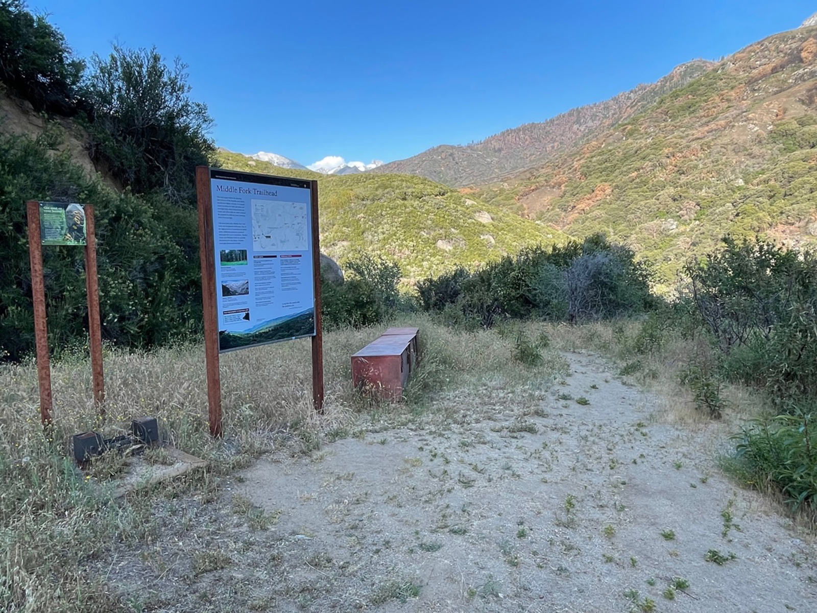
Middle Fork Trailhead
~2 min drive
<p>This trailhead orientation panel shows a map and photos of the Middle Fork area.<br /> <br /> In fall 2021, the KNP Complex Wildfire burned much of the surrounding area. While wilderness permits are available for this area, if you enter here, nearby exit points may be close…
Stony Creek
~18 min drive
Moderate 7-mile creek trail with 2,500 ft elevation gain.
Jo Pass
~22 min drive
Scenic alpine pass hike with steady elevation gain and mountain views.
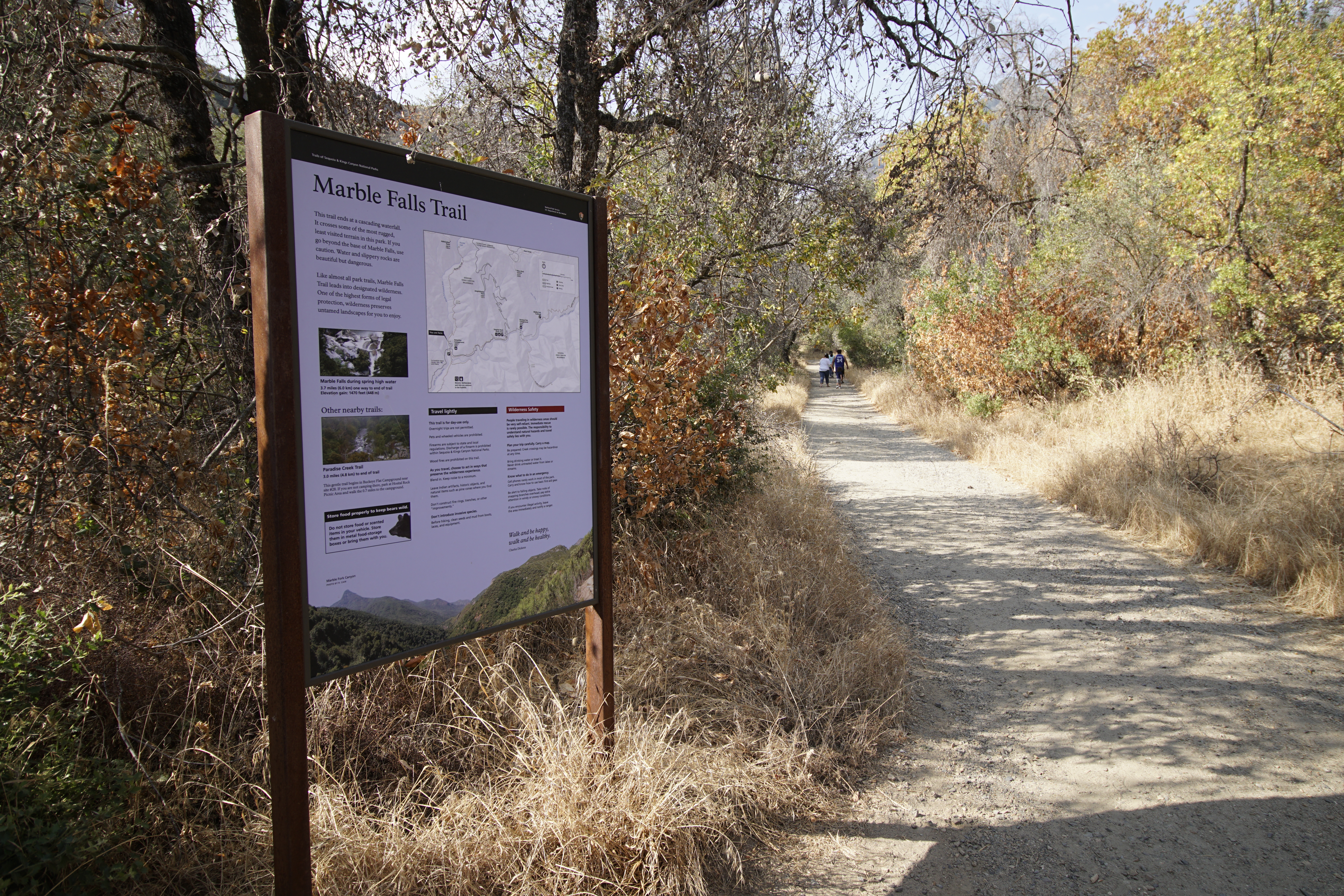
Marble Falls Trailhead
~3 min drive
<p>This trailhead orientation panel shows a map and images of the Marble Falls Trail area.<br /> <br /> This trail climbs 3.1 miles one-way at a moderate incline through the chaparral scrubland, ending at a waterfall cascade.<br /> <br /> Park near site #14 at Potwisha Campgro…
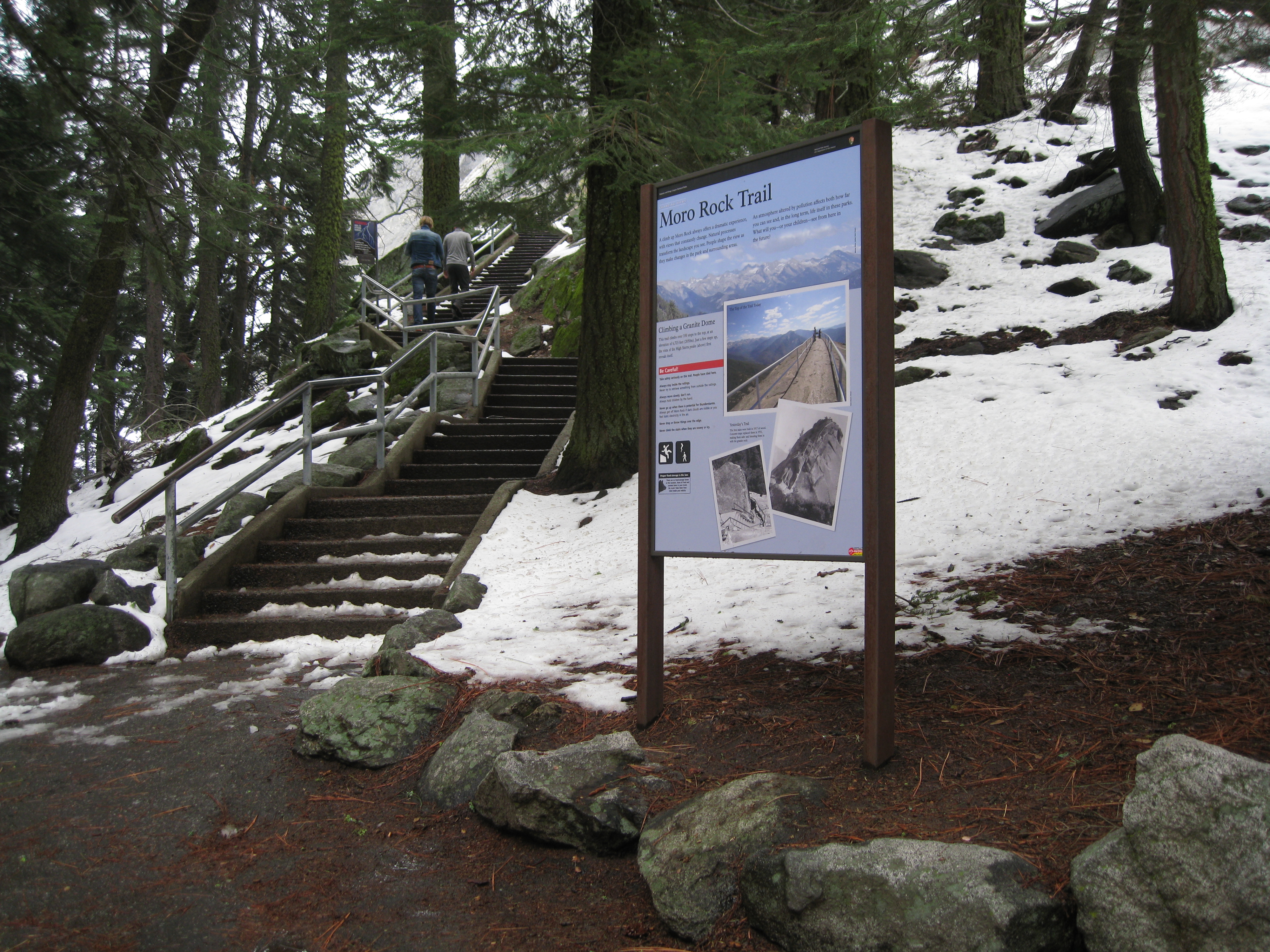
Moro Rock Trailhead
~3 min drive
<p>Welcome to one of the most popular and spectacular hikes in these parks. To reach the top of this granite dome, take the stairway that climbs up 300 feet (.09 km) to the 6,275 ft (2,050 km) summit.<br /> <br /> At the top is a spectacular 360° view from the Great Western Di…
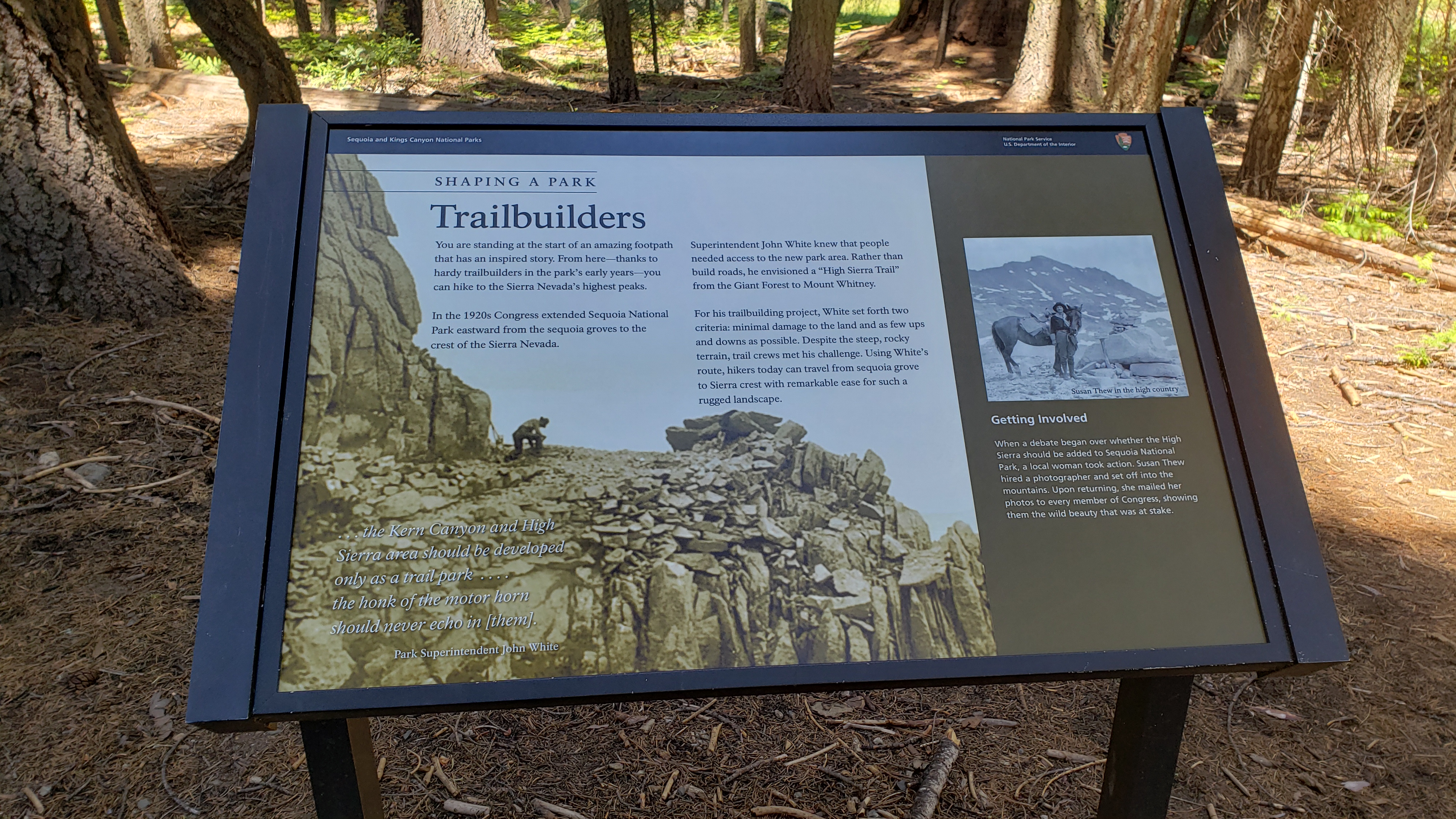
Trailbuilders
~5 min drive
<p>This wayside exhibit, titled "Shaping a Park, Trailbuilders," shows photos and text about the trail builders that shaped this park.</p>
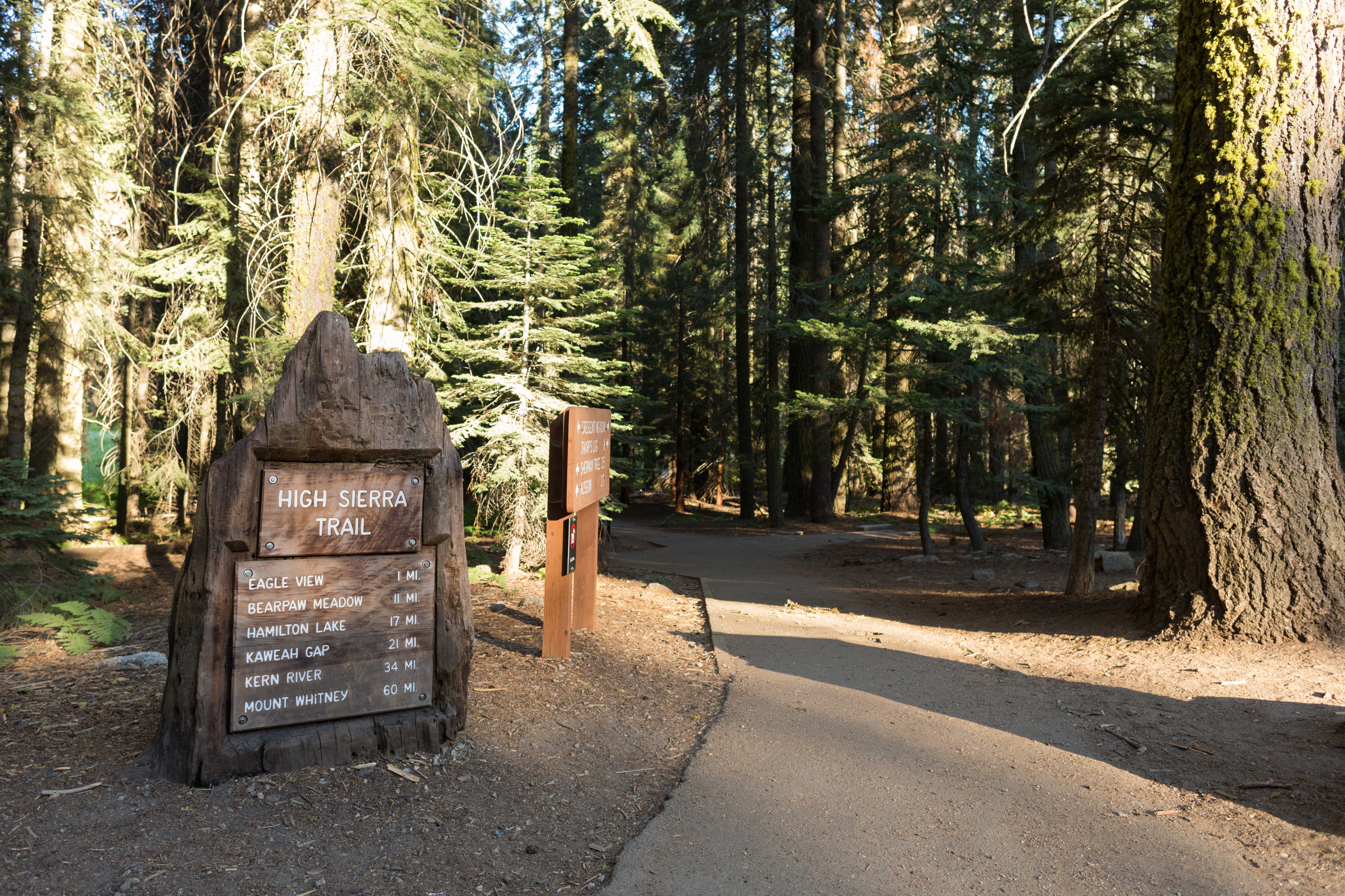
High Sierra Trailhead
~5 min drive
<p>The historic High Sierra Trail is a marvel of engineering that stays relatively level for its first portion, offering views of wilderness without the steep climbs of other park trails. Hike 11 miles one-way (22 miles round-trip) to Bearpaw Meadow, where you can camp in desi…
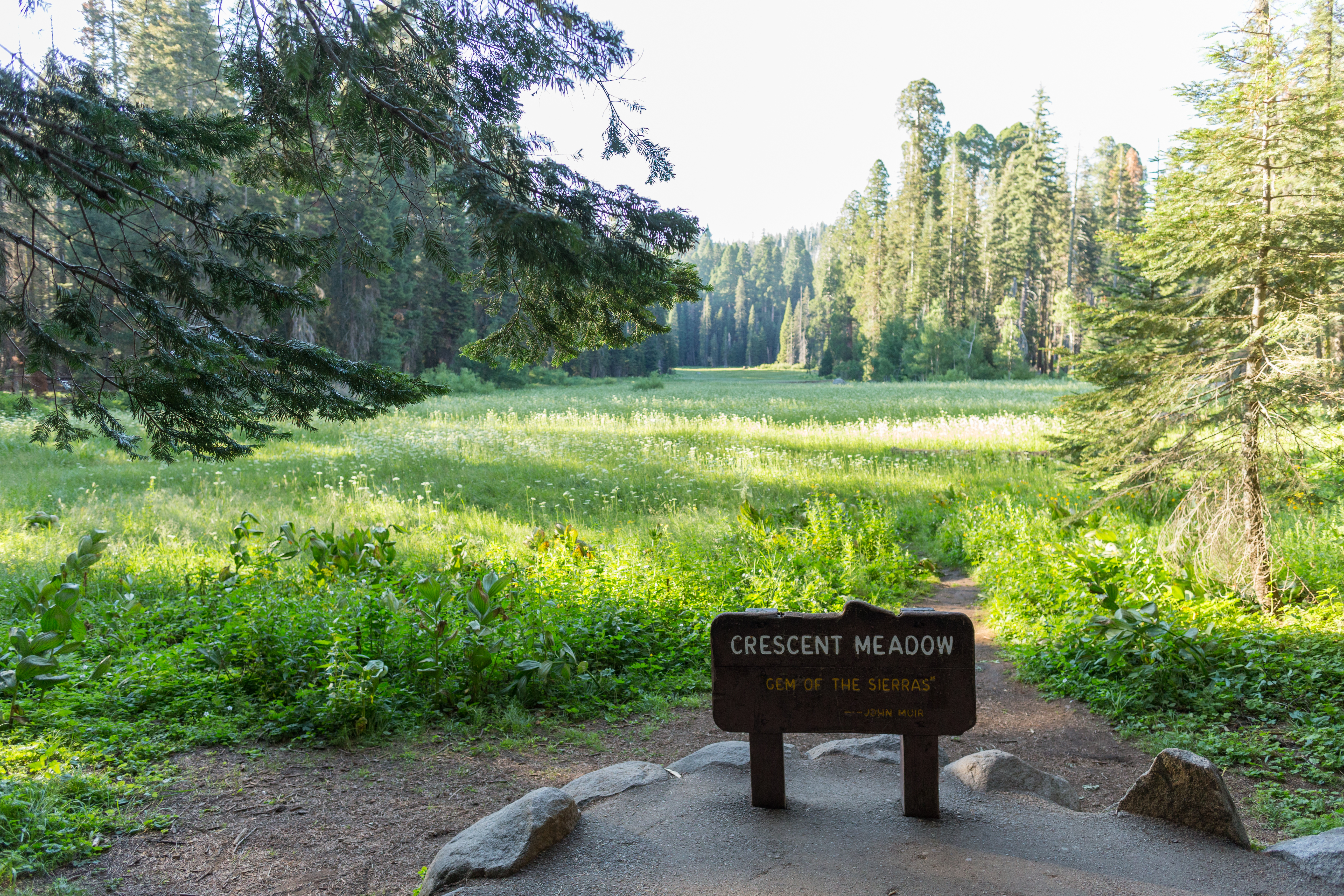
Crescent Meadow Picnic Area and Trailhead
~5 min drive
<p>The Crescent Meadow Picnic Area is 2.6 miles from the Giant Forest Museum, near Moro Rock and several trailheads. The picnic area rests at the edge of a lush meadow, surrounded by giant sequoias. <br /> <br /> From here, you can follow the High Sierra Trail deep in the wild…
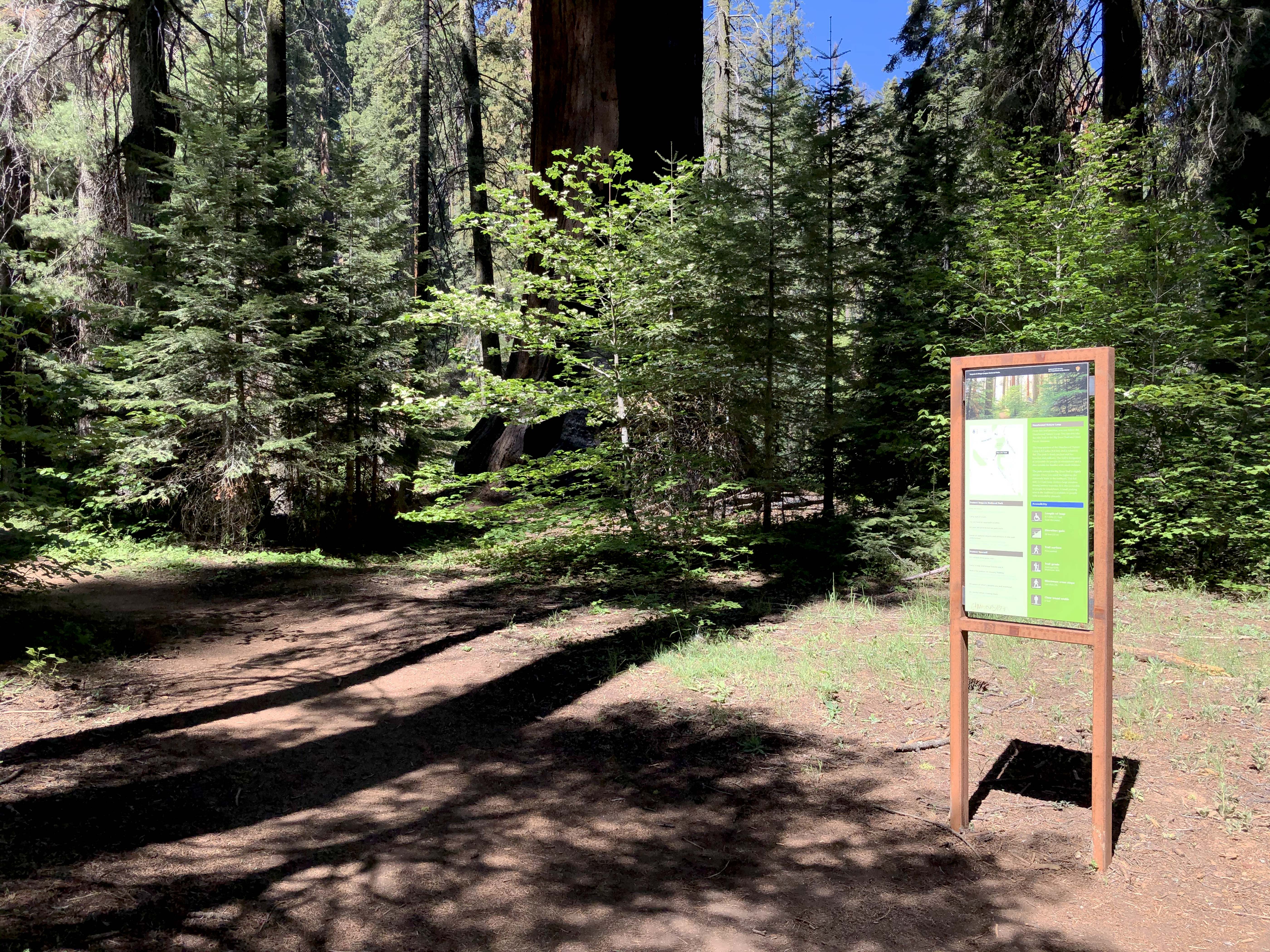
Hazelwood Nature Trail-Alta Trail Junction
~5 min drive
This trailhead sign includes a map indicating the junction of the Hazelwood Nature Trail Loop with the Alta Trail, which heads west towards the Giant Forest Museum.
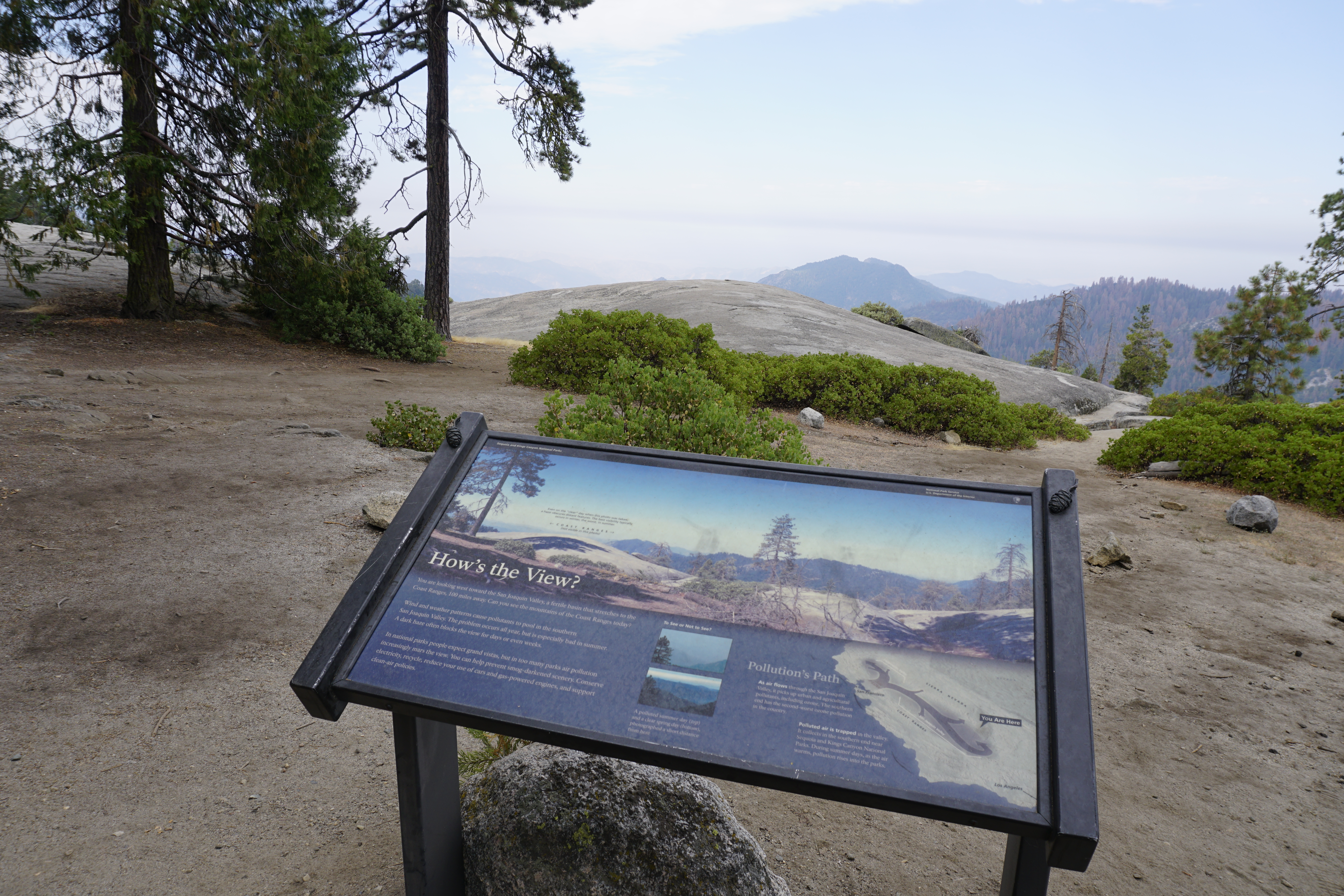
How's the View?
~5 min drive
<p>This wayside exhibit, titled "How's the View?," shows the weather patterns that cause pollution in the valley.</p>