Thousand Trails Oakzanita Springs
Campground
Campground · 2.3 mi from the trail
Grass Trail is an easy, short out-and-back hike in Cuyamaca Rancho State Park in California, about 0.3 miles long with a total elevation gain of 46 feet. It starts and ends at roughly 4,925 feet, with the highest point at 4,925 feet and the lowest at 4,884 feet, so the whole route is essentially flat with a slight rise and fall. The trail is managed by State Park and Recreation. For comfortable weather, late spring and early fall are the sweet spots. Typical averages from a nearby weather station in Cuyamaca show May highs around 67°F and October highs around 69°F, while July and August reach the low 80s. Winter brings highs near 51°F and about seven wet days a month. The Harvey Mooore Trail lies about 0.7 miles away, and Miner Road, a mountain biking route, is about 0.9 miles off. For an overnight stay, El Prado Group campground is about 5 miles away, and the Upper Tier climbing area is about 4.6 miles from the trail.
Thousand Trails Oakzanita Springs
Campground
Veronica's Kitchen
Restaurant
Cuyamaca Rancho Park Museum and Area Headquarters
Museum
Places © OpenStreetMap contributors
More in JulianNot on Roamze yet. Their page has how to reach them.
 Upper TierRock climbingPhoto: Waifer X, CC BY 2.0 (via Flickr)4.6 miLower TierRock climbingPhoto: Waifer X, CC BY 2.0 (via Flickr)4.6 mi
 El Prado GroupCampingPhoto: Recreation.gov (RIDB) / public domain5 mi
 LagunaCampingPhoto: Recreation.gov (RIDB) / public domain5.5 mi
Source: Roamze catalog (indexable pages within 10 miles, PostGIS distance)
 West Mesa TrailHiking · ~6 min drivePhoto: GaryGnu, CC BY 2.0 (via Flickr)
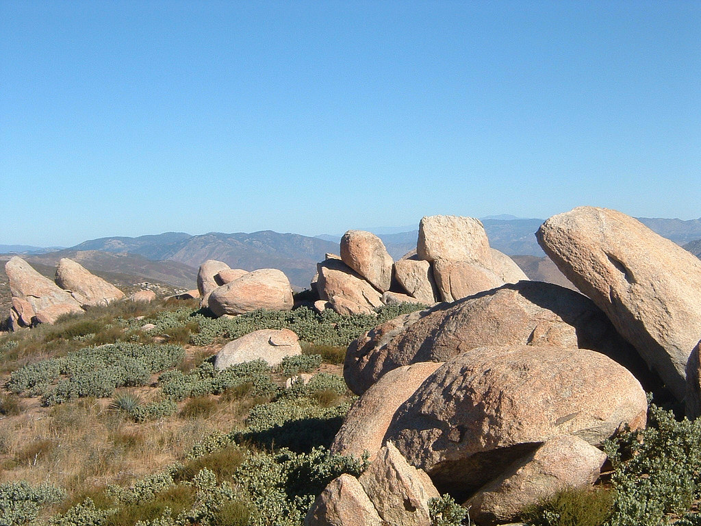 Pacific Crest National Scenic Trail #2000Hiking · ~7 min drivePhoto: lhogue46, CC BY 2.0 (via Flickr)
 El Prado Spur TrailHiking · ~8 min drivePhoto: BOB PERRY, CC BY 3.0 (via Wikimedia Commons)
 Burnt Pine TrailHiking · ~7 min drivePhoto: danhurt, CC BY-SA 2.0 (via Flickr)
 Garnet PeakHiking · ~8 min drivePhoto: BOB PERRY, CC BY 3.0 (via Wikimedia Commons)
 Secret Canyon TrailHiking · ~7 min drivePhoto: lovebycycle, CC BY 2.0 (via Flickr)
Best months: March–November. Best months have typical highs of 55–85 °F, lows of 30 °F or warmer (32 °F where the station doesn't record snow), at most one snowy day and no more than 12 wet days.
Jan
51° / 33°
7 wet
Feb
51° / 33°
8 wet
Mar
55° / 36°
7 wet
Apr
60° / 39°
5 wet
May
67° / 44°
3 wet
Jun
76° / 51°
1 wet
Jul
83° / 58°
1 wet
Aug
84° / 58°
2 wet
Sep
79° / 51°
2 wet
Oct
69° / 42°
3 wet
Nov
59° / 35°
5 wet
Dec
51° / 32°
7 wet
Typical high / low (°F) and days with rain or snow, 1991–2020. Measured at Cuyamaca, CA, 6.8 mi away at 4,640 ft. This station doesn't record snowfall. Source: NOAA NCEI U.S. Climate Normals 1991–2020.
Map and trail data © OpenStreetMap contributors

