Badlands Loop
 Photo: Greg Willis from Denver, CO, usa, CC BY-SA 2.0 (via Wikimedia Commons)
- 2.1 mi
- distance
- 657 ft
- climb
- 650 ft
- high point
- Lollipop
- route
- Nov–Mar
- best months
Is Badlands Loop open right now?
No closures listed
The National Park Service lists no closures for Death Valley National Park.
As of · Source: NPS · Death Valley National Park. Agencies don't list every closure — check before you go.
Badlands Loop is a 2.1-mile loop hike in Death Valley National Park in California, set at a low point of about 300 feet and rising to a high of about 650 feet. The route is rolling and rated easy, with an elevation gain of about 657 feet over the course of the loop. Winter and early spring are the most comfortable times to go. Typical averages from a nearby weather station show January highs around 67°F and lows near 42°F, while summer highs climb into the 110s. That station sits well below the trail, so temperatures on the loop run cooler. Gower Gulch Trail starts just 0.1 mile away, and Desolation Canyon is about 1.8 miles off. For an overnight stay, Sunset Campground and Furnace Creek Campground are both within about 4 miles.
Conditions and forecast on Zabriskie Point
Daily highs and lows, wind and the chance of precipitation at the summit and route start for the next 7 days, from the Open-Meteo model.
- Gower Gulch TrailHikingPhoto: Greg Willis from Denver, CO, usa, CC BY-SA 2.0 (via Wikimedia Commons)0.1 mi
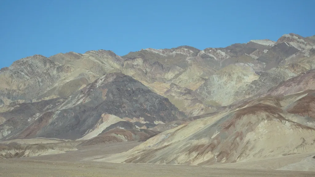 Desolation CanyonHikingPhoto: David Balmer — Wikimedia Commons (CC BY 3.0)1.8 mi
- Corral Horse pathHiking3.4 mi
 Funeral Canyon hiking routeHikingPhoto: Greg Schechter from San Francisco, USA, CC BY 2.0 (via Wikimedia Commons)3.4 mi
 Sunset CampgroundCampingPhoto: daveynin — CC BY 2.0 (via Flickr)3.6 mi
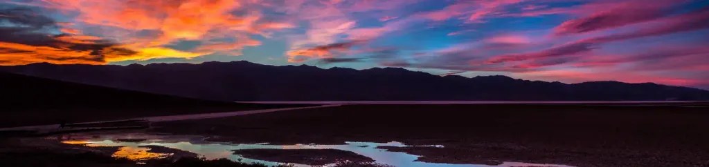 Furnace Creek CampgroundCampingPhoto: Recreation.gov (RIDB) / public domain3.9 mi
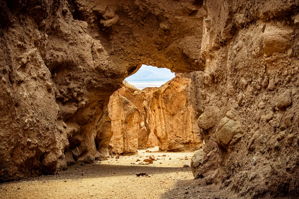 Natural BridgeHikingPhoto: NPS / public domain9.8 mi
Source: Roamze catalog (indexable pages within 10 miles, PostGIS distance)
- Golden CanyonHiking · ~2 min drive
 Gower Gulch TrailHiking · ~2 min drivePhoto: Greg Willis from Denver, CO, usa, CC BY-SA 2.0 (via Wikimedia Commons)
 Indian PassHiking · ~16 min drivePhoto: Ken Lund, CC BY-SA 2.0 (via Flickr)
 Upper Trail CanyonHiking · ~25 min drivePhoto: GSEC, CC BY 2.0 (via Flickr)
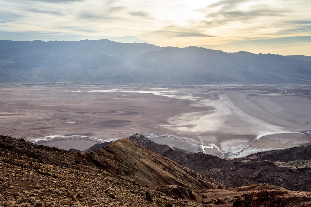 Dantes PeakHiking · ~25 min drivePhoto: dconvertini, CC BY-SA 2.0 (via Flickr)
- Desolation CanyonHiking · ~3 min drive
- Funeral Canyon hiking routeHiking · ~6 min drivePhoto: Greg Schechter from San Francisco, USA, CC BY 2.0 (via Wikimedia Commons)
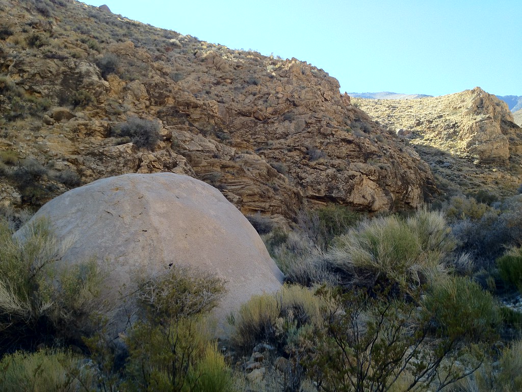 Hungry Bill's RanchHiking · ~43 min drivePhoto: stevelyon, CC BY-SA 2.0 (via Flickr)
 Wildrose PeakHiking · ~32 min drivePhoto: Greg Willis from Denver, CO, usa, CC BY-SA 2.0 (via Wikimedia Commons)
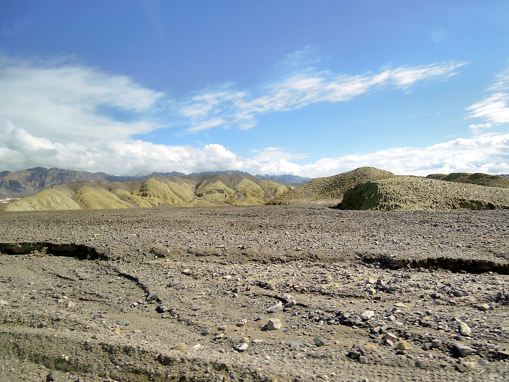 Harmony Borax Interpretive TrailHiking · ~9 min drivePhoto: Juhele_CZ, Public Domain Dedication (CC0) (via Flickr)
Best time to visit Badlands Loop
Best months: November–March. Best months have typical highs of 55–85 °F, lows of 30 °F or warmer (32 °F where the station doesn't record snow), at most one snowy day and no more than 12 wet days.
Jan
67° / 42°
2 wet
Feb
74° / 49°
3 wet
Mar
83° / 57°
2 wet
Apr
91° / 65°
1 wet
May
101° / 75°
1 wet
Jun
111° / 84°
1 wet
Jul
117° / 91°
1 wet
Aug
116° / 89°
1 wet
Sep
108° / 79°
1 wet
Oct
93° / 64°
1 wet
Nov
77° / 51°
1 wet
Dec
66° / 41°
2 wet
Typical high / low (°F) and days with rain or snow, 1991–2020. Measured at Death Valley Np, CA, 3.9 mi away at -194 ft. The station sits about 800 ft lower than this place, so expect it a little cooler here. Source: NOAA NCEI U.S. Climate Normals 1991–2020.

Route details
- Distance
- 2.1 mi
- Climbing
- About 657 ft
- Summit
- 713 ft
- Difficulty
- Easy
- Time
- About 1 hour
Questions about this route
How long is the Badlands Loop on Zabriskie Point?
About 2.1 mi.
How much elevation gain is on the Badlands Loop?
About 657 ft of climbing round trip.
How hard is the Badlands Loop?
It is rated easy.
How long does the Badlands Loop take?
About 1 hour round trip.
Map and trail data © OpenStreetMap contributors
