Obsidian Flat
Campground
Campground · 1.0 mi from the trail
 Photo: S.R. Brantley, Public domain (via Wikimedia Commons)
Caution today
Agency alerts are in effect for this area; weather is good · USFS, OpenWeather · checked 10 h ago
Alert in the area
The Forest Service lists 3 alerts for Inyo National Forest.
Help Halt Golden Mussel Invasion
Agency alert covering Inyo National Forest · USFS · Inyo National Forest
Ansel Adams and John Muir Wilderness Campfire Restrictions
Agency alert covering Inyo National Forest · Order 05-04-50-25-04 · USFS · Inyo National Forest
Golden Trout and Hoover Wilderness Campfire Restrictions
Agency alert covering Inyo National Forest · Order 05-04-50-25-05 · USFS · Inyo National Forest
As of · Source: USFS · Inyo National Forest. Agencies don't list every closure — check before you go.
Glass Creek Meadow is a moderate out-and-back hike of about 3.3 miles in California's Owens River Headwaters Wilderness, within the Mono Lake Ranger District of Inyo National Forest. The trail starts at about 8,218 feet and climbs to a high point of 8,889 feet, with a total gain of about 1,012 feet. The climb is front-loaded, and the steepest stretch comes within the first 0.14 miles, where the grade reaches about 34 percent. Summer is the most comfortable time to go. Typical averages from a nearby weather station at Mammoth Lakes show July highs around 78°F with lows near 49°F, while winter highs sit around 41°F. That station sits roughly 1,085 feet lower than the trail's high point, so temperatures on the ridge run cooler. The Glass Creek Meadow Trail lies about 0.2 miles away, and Obsidian Flat campground is about a mile off. The Deadman Water System Trail and the Deadman IV climbing area are both within about 1.7 miles.
Obsidian Flat
Campground
Places © OpenStreetMap contributors
More in Mammoth LakesNot on Roamze yet. Their page has how to reach them.
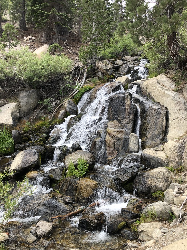 Glass Creek Meadow TrailHikingPhoto: GSEC, CC BY 2.0 (via Flickr)0.2 mi
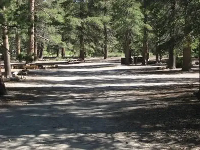 Obsidian FlatCampingPhoto: Recreation.gov (RIDB) / public domain1 miDEADMAN WATER SYSTEM TRAILHikingPhoto: S.R. Brantley, Public domain (via Wikimedia Commons)1.6 mi
 Rush CreekCanoeingPhoto: Greg Reis, CC BY-SA 3.0 (via Wikimedia Commons)8.5 mi
Source: Roamze catalog (indexable pages within 10 miles, PostGIS distance)
DEADMAN WATER SYSTEM TRAILHiking · ~3 min drivePhoto: S.R. Brantley, Public domain (via Wikimedia Commons)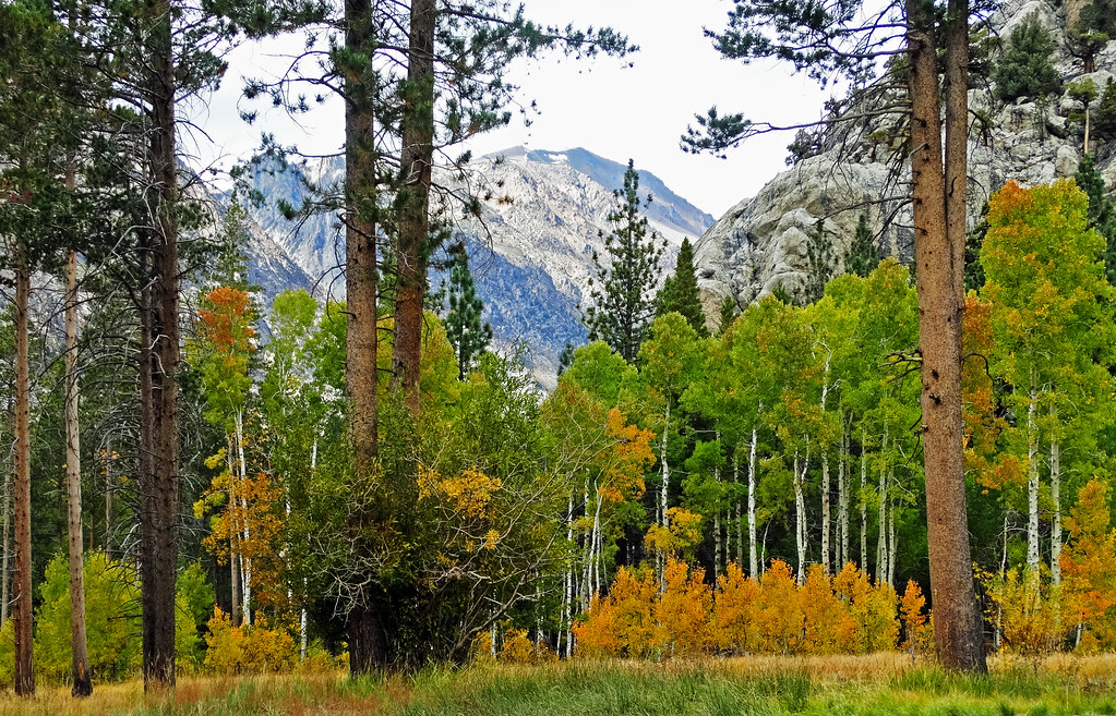 June Lake Loop TrailHiking · ~6 min drivePhoto: inkknife_2000 (14 million views), CC BY-SA 2.0 (via Flickr)
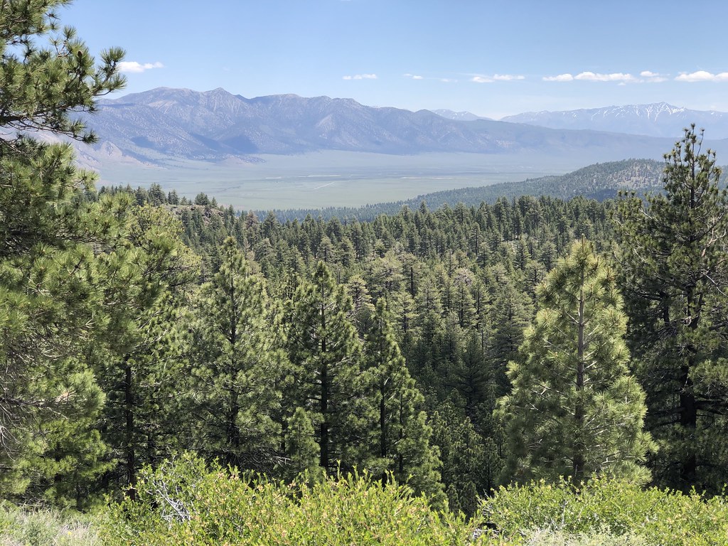 L-LOOKOUT LOOP SMHiking · ~7 min drivePhoto: GSEC, CC BY 2.0 (via Flickr)
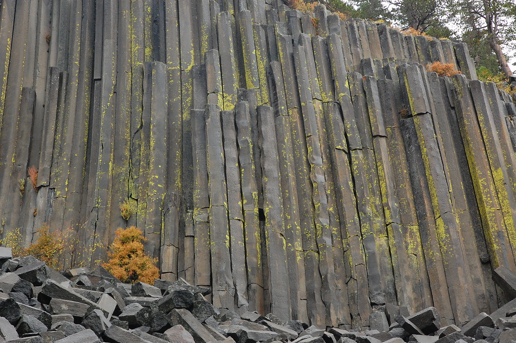 Pacific Crest TrailHiking · ~9 min drivePhoto: ilya_ktsn, CC BY 2.0 (via Flickr)C-CRATER FLAT/DEADMAN CREEK SMHiking · ~3 min drivePhoto: S.R. Brantley, Public domain (via Wikimedia Commons)
 YOST MEADOW LOOPHiking · ~9 min drivePhoto: DavetheMage, CC BY-SA 3.0 (via Wikimedia Commons)
 Yost Creek TrailHiking · ~9 min drivePhoto: GSEC, CC BY 2.0 (via Flickr)
 Inyo Craters TrailHiking · ~6 min drivePhoto: derlandsknecht, CC BY-SA 2.0 (via Flickr)
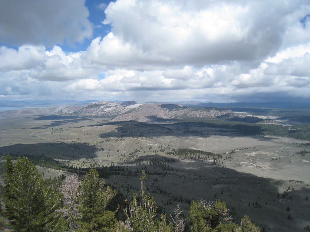 Reversed Peak TrailHiking · ~10 min drivePhoto: GSEC, CC BY 2.0 (via Flickr)
 I-JUNE LAKE TO BALD MTN SMHiking · ~9 min drivePhoto: mjhbower, CC BY-SA 2.0 (via Flickr)
Also worth it near here
 June MountainDownhill skiing · ~5 min drivePhoto: Eric T Gunther, CC BY-SA 3.0 (via Wikimedia Commons)
 H-Crestview Rest Area/cratersMountain biking · ~6 min drivePhoto: Daniel Mayer (mav), CC BY-SA 3.0 (via Wikimedia Commons)
Best months: May–September. Best months have typical highs of 55–85 °F, lows of 30 °F or warmer (32 °F where the station doesn't record snow), at most one snowy day and no more than 12 wet days.
Jan
41° / 17°
Feb
41° / 18°
Mar
45° / 22°
Apr
51° / 27°
May
60° / 35°
Jun
70° / 42°
Jul
78° / 49°
Aug
77° / 47°
Sep
71° / 40°
Oct
61° / 30°
Nov
49° / 23°
Dec
41° / 17°
Typical high / low (°F) and days with rain or snow, 1991–2020. Measured at Mammoth Lakes Rs, CA, 7.6 mi away at 7,804 ft. The station sits about 1,100 ft lower than this place, so expect it a little cooler here. This station doesn't record snowfall. Source: NOAA NCEI U.S. Climate Normals 1991–2020.
