Big Springs Campground
Campground
Campground · 2.0 mi from the trail
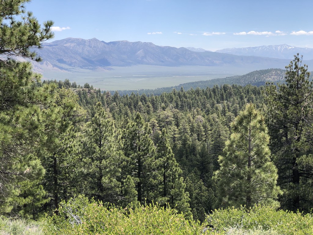 Photo: GSEC, CC BY 2.0 (via Flickr)
Alert in the area
The Forest Service lists 3 alerts for Inyo National Forest.
Help Halt Golden Mussel Invasion
Agency alert covering Inyo National Forest · USFS · Inyo National Forest
Ansel Adams and John Muir Wilderness Campfire Restrictions
Agency alert covering Inyo National Forest · Order 05-04-50-25-04 · USFS · Inyo National Forest
Golden Trout and Hoover Wilderness Campfire Restrictions
Agency alert covering Inyo National Forest · Order 05-04-50-25-05 · USFS · Inyo National Forest
As of · Source: USFS · Inyo National Forest. Agencies don't list every closure — check before you go.
L-LOOKOUT LOOP SM is a hard hike in California's Inyo National Forest, within the Mammoth Ranger District. The route is an out-and-back of about 10.9 miles, with a total elevation gain of 2,473 feet. The climb is steady, and the steepest stretch comes at about 2.4 miles in, where the grade reaches 22%. The high point is 7,827 feet, and the trail starts at 7,652 feet. Summer is the most comfortable time to go. Typical averages from a nearby weather station at Mammoth Lakes show July highs around 78°F with lows near 49°F, while winter highs sit around 41°F with lows in the teens. The hike takes about five hours. Big Springs Campground is about 2 miles away, and Matrimony Wall, a climbing area, is about 2.2 miles off. The DJ LOOP SM hike and the H-Crestview Rest Area/craters mountain biking route are both about 1.7 miles away.
Big Springs Campground
Campground
Patty Shack
Fast food
Places © OpenStreetMap contributors
More in Mammoth LakesNot on Roamze yet. Their page has how to reach them.
Best months: May–September. Best months have typical highs of 55–85 °F, lows of 30 °F or warmer (32 °F where the station doesn't record snow), at most one snowy day and no more than 12 wet days.
Jan
41° / 17°
Feb
41° / 18°
Mar
45° / 22°
Apr
51° / 27°
May
60° / 35°
Jun
70° / 42°
Jul
78° / 49°
Aug
77° / 47°
Sep
71° / 40°
Oct
61° / 30°
Nov
49° / 23°
Dec
41° / 17°
Typical high / low (°F) and days with rain or snow, 1991–2020. Measured at Mammoth Lakes Rs, CA, 5.1 mi away at 7,804 ft. This station doesn't record snowfall. Source: NOAA NCEI U.S. Climate Normals 1991–2020.
 Photo: Schill, CC BY-SA 2.0 (via Flickr)
DJ LOOP SM
~3 min drive
10.28-mile out-and-back trail in California with 1,489 ft elevation gain
 Photo: S.R. Brantley, Public domain (via Wikimedia Commons)
C-CRATER FLAT/DEADMAN CREEK SM
~4 min drive
1.86-mile out-and-back trail in California with 328 ft elevation gain
Photo: S.R. Brantley, Public domain (via Wikimedia Commons)GLASS CREEK MEADOW
~7 min drive
3.32-mile out-and-back trail in California with 1,012 ft elevation gain.
HIKE
LAUREL MOUNTAIN TRAIL
~13 min drive
16.92-mile out-and-back trail in California with 5,485 ft gain/loss and 10,053 ft max elevation
 Photo: Kitt O'Malley, CC BY 2.0 (via Flickr)
A-SAWMILL CUTOFF SM
~7 min drive
15.08-mile out-and-back trail in California with 1,621 ft elevation gain/loss.
Photo: S.R. Brantley, Public domain (via Wikimedia Commons)DEADMAN WATER SYSTEM TRAIL
~6 min drive
1.12-mile out-and-back trail in California with 356 ft elevation gain.
 Photo: Seth Tisue, CC BY-SA 2.0 (via Flickr)
Mountain View Mtn. Bike
~9 min drive
3.16-mile out-and-back mountain bike trail in California with 521 ft elevation gain and moderate difficulty.
 Photo: Plane777 (talk · contribs), Public domain (via Wikimedia Commons)
Mammoth Mountain Trail
~12 min drive
7.52-mile out-and-back hike in California with 2,617 ft elevation gain and loss.
 Photo: derlandsknecht, CC BY-SA 2.0 (via Flickr)
Inyo Craters Trail
~6 min drive
1.12-mile out-and-back hike to Inyo Craters in California.
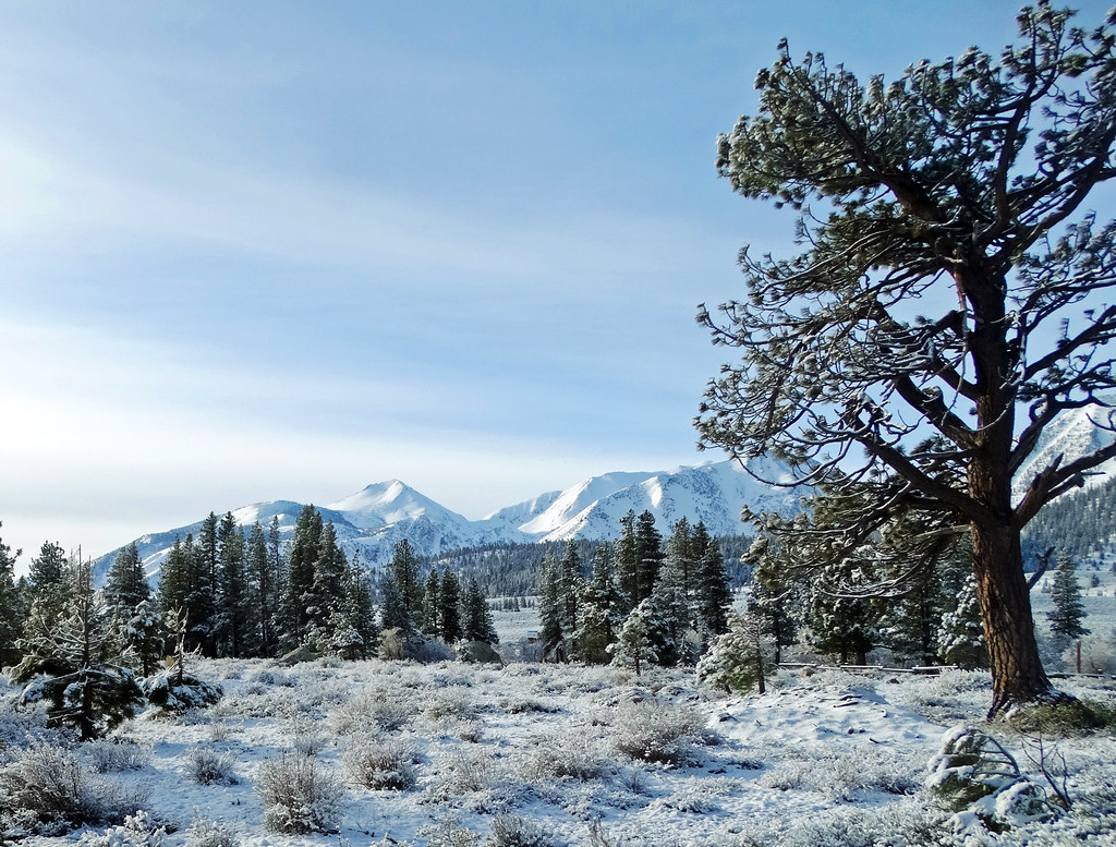 Photo: inkknife_2000 (14 million views), CC BY-SA 2.0 (via Flickr)
Mammoth Rock Trail
~11 min drive
5.32-mile out-and-back hike in California with 1,783 ft gain and 8,498 ft max elevation.


