Rock Creek Lake Campground
Campground
Campground · 1.3 mi from the trail
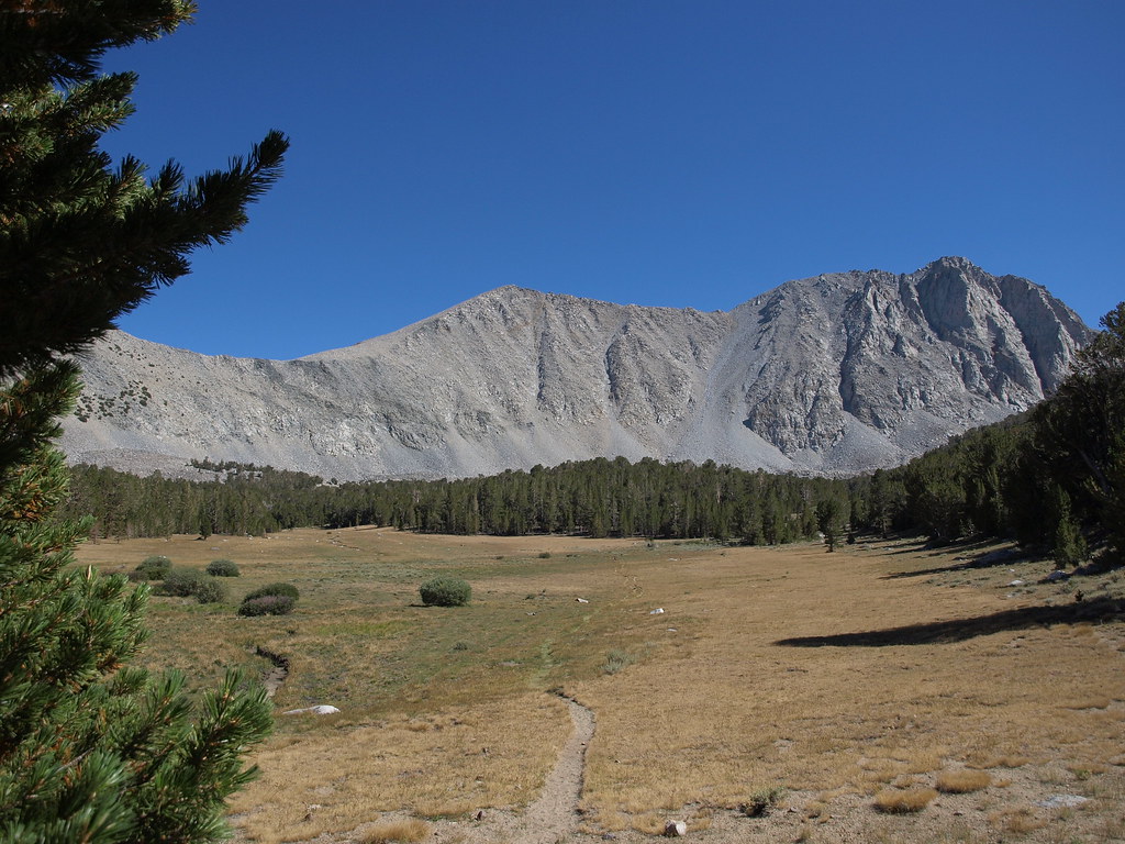 Photo: Jim Morefield, CC BY-SA 2.0 (via Flickr)
Alert in the area
The Forest Service lists 3 alerts for Inyo National Forest.
Help Halt Golden Mussel Invasion
Agency alert covering Inyo National Forest · USFS · Inyo National Forest
Ansel Adams and John Muir Wilderness Campfire Restrictions
Agency alert covering Inyo National Forest · Order 05-04-50-25-04 · USFS · Inyo National Forest
Golden Trout and Hoover Wilderness Campfire Restrictions
Agency alert covering Inyo National Forest · Order 05-04-50-25-05 · USFS · Inyo National Forest
As of · Source: USFS · Inyo National Forest. Agencies don't list every closure — check before you go.
Francis Lake is an easy, out-and-back hike of about 1.6 miles in the John Muir Wilderness, part of the White Mountain Ranger District of Inyo National Forest in California. The trail lies entirely within designated wilderness, and the Forest Service manages the land. It rises about 440 feet from a low point of 10,417 feet to a high of 10,879 feet. The route is natural-surfaced and carries horses, so riders can take it along with hikers. Bikes are not allowed, and the trail is not accessible. The hike works year-round, and the Dorothy Lake Loop Trail starts just 0.4 miles away. The Tamarack Bench Trail is 0.7 miles off. Rock Creek Lake Campground sits about 1.3 miles away, and the Starr Wall climbing area is roughly 2 miles out.
Rock Creek Lake Campground
Campground
Salsa's Taqueria
Fast food
Paiute-Shoshone Indian Cultural Center
Museum
Places © OpenStreetMap contributors
More in BishopNot on Roamze yet. Their page has how to reach them.
Photo: Jim Morefield, CC BY-SA 2.0 (via Flickr)Dorothy Lake Loop Trail
Next door
4.62-mile out-and-back hike in California with 870 ft elevation gain
 Photo: GSEC, CC BY 2.0 (via Flickr)
DOROTHY LAKE LOOP
~2 min drive
5.72-mile out-and-back hike at Dorothy Lake Out-and-back in California with 940 ft elevation gain.
 Photo: docentjoyce, CC BY 2.0 (via Flickr)
Broken Finger Peak
~2 min drive
Route to the summit of Broken Finger Peak (13,068 ft) from Tamarack Lakes Trailhead.
 Photo: Moo.The.Cow, CC BY 2.0 (via Flickr)
Hilton Lakes Trail
~3 min drive
10.88-mile out-and-back hike in California with 1,965 ft gain/loss
Photo: GSEC, CC BY 2.0 (via Flickr)Tamarack Bench Trail
~1 min drive
1.9-mile out-and-back trail in California with 225 ft elevation gain and 10,228 ft max elevation.
 Photo: inkknife_2000 (14 million views), CC BY-SA 2.0 (via Flickr)
Upper Rock Creek Canyon
~3 min drive
3.55-mile out-and-back trail in Upper Rock Creek Canyon with 664 ft gain.
 Photo: GSEC, CC BY 2.0 (via Flickr)
Ruby Peak
~3 min drive
Route to the summit of Ruby Peak (13,192 ft) from Little Lakes Valley Trailhead.
 Photo: GSEC, CC BY 2.0 (via Flickr)
Little Lakes Valley
~4 min drive
6.18-mile out-and-back trail in California with 1,207 ft elevation gain.
Photo: GSEC, CC BY 2.0 (via Flickr)Dorothy Lake Loop Trail
~2 min drive
0.96-mile out-and-back hike to Dorothy Lake with 140 ft elevation gain
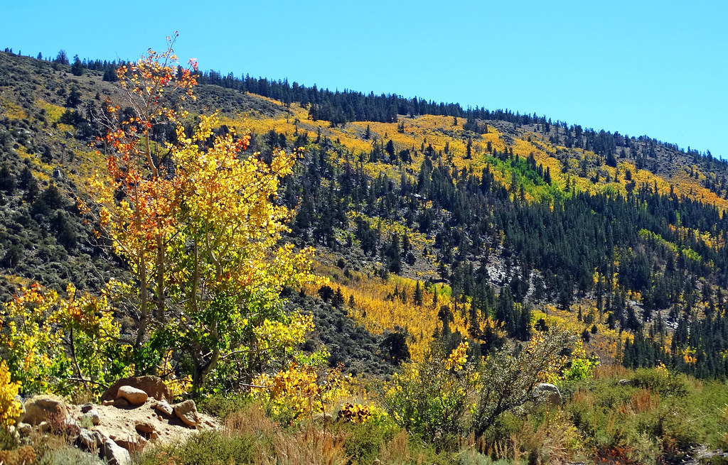 Photo: inkknife_2000 (14 million views), CC BY-SA 2.0 (via Flickr)
HILTON LAKES
~3 min drive
6.12-mile out-and-back trail to Hilton Lakes in California with 1,392 ft elevation gain

