Camp Concord
Campground
Campground · 0.4 mi from the trail
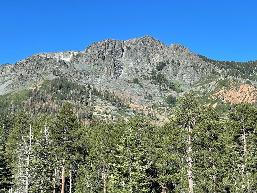 Photo: simonov, CC BY-SA 2.0 (via Flickr)
Closure in the area
There's a closure order in Lake Tahoe Basin Management Unit. It doesn't name Moraine Trail, so check the source for the area it covers.
Harmful Algal Blooms
Agency closure covering Lake Tahoe Basin Management Unit · USFS · Lake Tahoe Basin Management Unit
Desolation Wilderness Food and Refuse Storage (Bear Canister) Restriction
Agency alert covering Lake Tahoe Basin Management Unit · Order 19-25-06 · USFS · Lake Tahoe Basin Management Unit
Meyers Landfill Area Closure
Agency alert covering Lake Tahoe Basin Management Unit · Order 19-25-01 · USFS · Lake Tahoe Basin Management Unit
Campfire Restrictions
Agency alert covering Lake Tahoe Basin Management Unit · Order 19-24-04 · USFS · Lake Tahoe Basin Management Unit
Camping/Overnight Stay Restriction
Agency alert covering Lake Tahoe Basin Management Unit · Order 19-24-05 · USFS · Lake Tahoe Basin Management Unit
As of · Source: USFS · Lake Tahoe Basin Management Unit. Agencies don't list every closure — check before you go.
The Moraine Trail is a short, easy out-and-back hike in California's Lake Tahoe Basin Management Unit, managed by the Forest Service. The route is about 2 miles long, with a low point of 6,359 feet and a high of 6,403 feet, so the total elevation gain is about 36 feet. That makes it a gentle walk rather than a climb, and it works well as a quick stop or a way to stretch your legs before or after time on the water or on the trails around Fallen Leaf. Summer is the most comfortable time to go. Typical averages from the South Lake Tahoe airport weather station, about 3.7 miles away, show July and August highs around 80°F with lows in the low 40s and only about two wet days a month. Winter is much colder, with highs in the low 40s and lows near 18°F from December through February. Fallen Leaf Campground and Taylor Creek, a canoeing spot, are both about 0.4 miles away. The Visitor Center to Fallen Leaf hike and the Floating Island Trail are each about 0.8 miles off.
Camp Concord
Campground
Beacon Bar & Grill
Restaurant
Baldwin Home
Museum
Places © OpenStreetMap contributors
More in Sunnyside-Tahoe CityNot on Roamze yet. Their page has how to reach them.
Best months: May–September. Best months have typical highs of 55–85 °F, lows of 30 °F or warmer (32 °F where the station doesn't record snow), at most one snowy day and no more than 12 wet days.
Jan
43° / 18°
9 wet
Feb
43° / 19°
9 wet
Mar
48° / 24°
10 wet
Apr
53° / 28°
8 wet
May
62° / 33°
7 wet
Jun
72° / 38°
3 wet
Jul
80° / 43°
2 wet
Aug
80° / 41°
2 wet
Sep
73° / 35°
3 wet
Oct
62° / 29°
5 wet
Nov
51° / 23°
7 wet
Dec
43° / 18°
10 wet
Typical high / low (°F) and days with rain or snow, 1991–2020. Measured at South Lake Tahoe Ap, CA, 3.7 mi away at 6,314 ft. This station doesn't record snowfall. Source: NOAA NCEI U.S. Climate Normals 1991–2020.
 Photo: John William Hammond, CC BY-SA 2.0 (via Flickr)
Visitor Center to Fallen Leaf
~1 min drive
0.8-mile out-and-back trail from the Visitor Center to Fallen Leaf in California.
 Photo: Ken Lund, CC BY-SA 2.0 (via Flickr)
Camp Richardson Corral Trails
~1 min drive
Moderate Sierra foothills loop with forest and meadow views near Lake Tahoe.
 Photo: mlinksva, Public Domain Dedication (CC0) (via Flickr)
Tahoe Mountain Trail (South)
~3 min drive
4.02-mile out-and-back hike in California with 1,171 ft elevation gain
 Photo: radicalespresso, Public Domain Mark (via Flickr)
EAGLE FALLS TRAIL
~6 min drive
16.1-mile out-and-back hike in California with 4,668 ft elevation gain and loss.
Photo: simonov, CC BY-SA 2.0 (via Flickr)FLOATING ISLAND TRAIL
~1 min drive
2.92-mile out-and-back hike in California with 741 ft gain and 7,098 ft max elevation.
 Photo: bsterling, CC BY-SA 2.0 (via Flickr)
Tamarack Lake Trail
~6 min drive
5.64-mile out-and-back hike to Tamarack Lake in California.
 Photo: mlinksva, Public Domain Dedication (CC0) (via Flickr)
High School Trail
~5 min drive
3.00-mile out-and-back trail in California with 302 ft of elevation gain.
Photo: John William Hammond, CC BY-SA 2.0 (via Flickr)Rainbow Trail
~1 min drive
1.20-mile out-and-back hike in California with 43 ft of elevation gain.
 Photo: Scorewith German, CC BY 3.0 (via Wikimedia Commons)
Lily Lake Trail
~6 min drive
3.72-mile out-and-back hike in California with 3,015 ft gain/loss.
 Photo: simonov, CC BY-SA 2.0 (via Flickr)
Floating Island / Mount Tallac Trail
~5 min drive
1.28-mile out-and-back trail in California with 1,020 ft elevation gain

