Pinezanita
Campground
Campground · 1.7 mi from the trail
 Photo: BOB PERRY, CC BY 3.0 (via Wikimedia Commons)
Clear today
Weather is good · OpenWeather · checked 6 h ago
Fire Trail is a short, easy out-and-back hike in California, about a mile from the community of Harrison Park. The route starts and ends at about 5,279 feet, with a total climb of 809 feet to a high point of 5,279 feet and a return descent of the same. The trail's shape is a simple loop, with the steepest stretch at about 1.3 miles in, where the grade reaches 18 percent. Late spring and early fall are the most comfortable times to go. Typical averages from a nearby weather station in Cuyamaca show May highs around 67°F and September highs around 79°F, with lows near 44°F and 51°F. Summer brings the warmest days, peaking around 84°F in August. The hike takes about 1.5 hours to complete. Cedar Trail is about 1.5 miles away, and Sugar Pine Trail and Desert View Trail are each about 2 miles off. For climbing, the Upper Tier area sits roughly 3.9 miles away.
Pinezanita
Campground
Glen S. Wyatt Memorial Viewpoint
Viewpoint
Places © OpenStreetMap contributors, Places © Overture Maps Foundation
More in JulianNot on Roamze yet. Their page has how to reach them.
Mason Valley Truck TrailHikingPhoto: BOB PERRY, CC BY 3.0 (via Wikimedia Commons)2.4 mi Upper TierRock climbingPhoto: Waifer X, CC BY 2.0 (via Flickr)3.9 miLower TierRock climbingPhoto: Waifer X, CC BY 2.0 (via Flickr)3.9 mi
Source: Roamze catalog (indexable pages within 10 miles, PostGIS distance)
Mason Valley Truck TrailHiking · ~4 min drivePhoto: BOB PERRY, CC BY 3.0 (via Wikimedia Commons) California Riding and Hiking TrailHiking · ~5 min drivePhoto: aspidoscelis, Public Domain Dedication (CC0) (via Flickr)
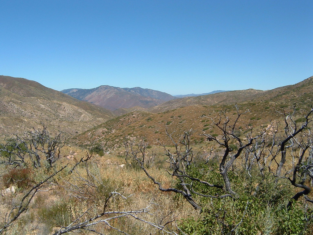 Pacific Crest National Scenic Trail #2000Hiking · ~6 min drivePhoto: lhogue46, CC BY 2.0 (via Flickr)Pacific Crest National Scenic Trail #2000Hiking · ~4 min drivePhoto: BOB PERRY, CC BY 3.0 (via Wikimedia Commons)La Cima TrailHiking · ~6 min drivePhoto: aspidoscelis, Public Domain Dedication (CC0) (via Flickr)
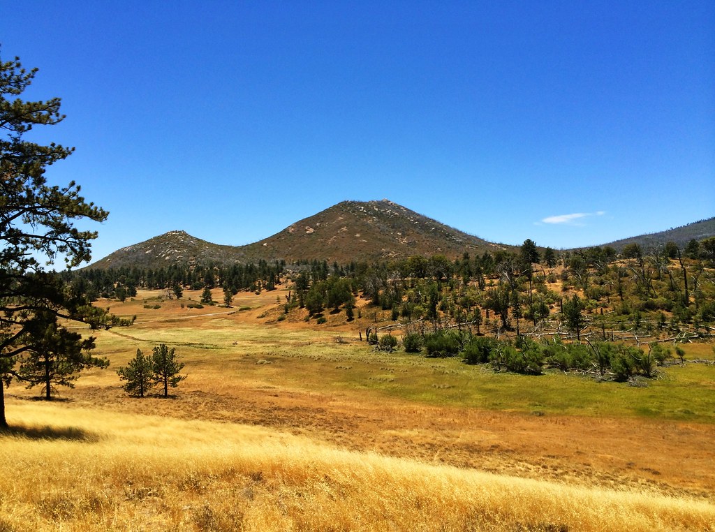 Marty Minshall trailHiking · ~4 min drivePhoto: elemenous, CC BY-SA 2.0 (via Flickr)
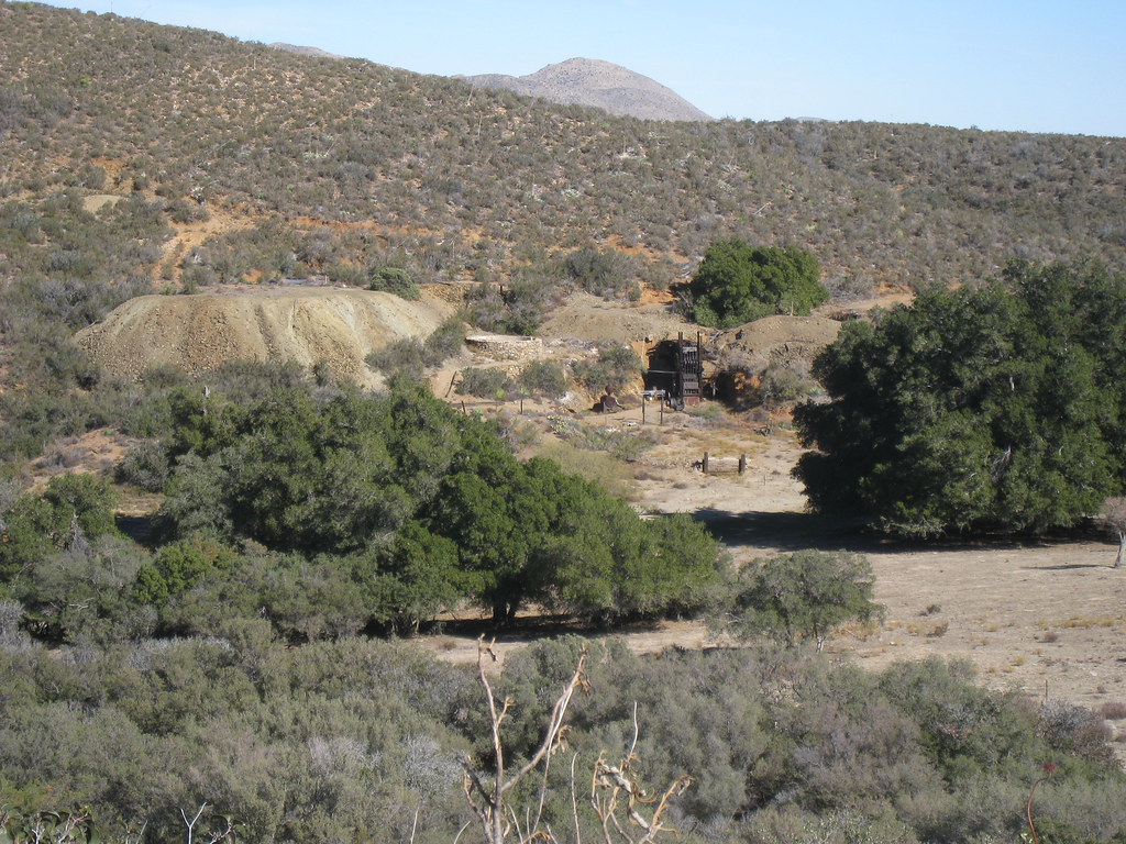 California Riding and Hiking TrailHiking · ~7 min drivePhoto: GSEC, CC BY 2.0 (via Flickr)Marty Minshall TrailHiking · ~5 min drivePhoto: elemenous, CC BY-SA 2.0 (via Flickr)Rodriguez Spur Truck TrailHiking · ~7 min drivePhoto: GSEC, CC BY 2.0 (via Flickr)
Best months: March–November. Best months have typical highs of 55–85 °F, lows of 30 °F or warmer (32 °F where the station doesn't record snow), at most one snowy day and no more than 12 wet days.
Jan
51° / 33°
7 wet
Feb
51° / 33°
8 wet
Mar
55° / 36°
7 wet
Apr
60° / 39°
5 wet
May
67° / 44°
3 wet
Jun
76° / 51°
1 wet
Jul
83° / 58°
1 wet
Aug
84° / 58°
2 wet
Sep
79° / 51°
2 wet
Oct
69° / 42°
3 wet
Nov
59° / 35°
5 wet
Dec
51° / 32°
7 wet
Typical high / low (°F) and days with rain or snow, 1991–2020. Measured at Cuyamaca, CA, 1.8 mi away at 4,640 ft. The station sits about 600 ft lower than this place, so expect it a little cooler here. This station doesn't record snowfall. Source: NOAA NCEI U.S. Climate Normals 1991–2020.
Map and trail data © OpenStreetMap contributors

