California · Hiking
Fence Line Trail
- 0.5 mi
- round trip
- 636 ft
- climb
- 1,958 ft
- high point
- Out and back
- route
Loading this week's forecast
Fence Line Trail is an easy, out-and-back hike in Frank Raines Regional Park, on county land in California. The trail starts at about 1,812 feet and climbs to a high point of 1,958 feet, with a total round-trip gain of 636 feet. The route is about a mile long, and the steepest stretch comes at roughly 0.4 miles in, where the grade reaches 40%. The trail is short and low, so it works well as a quick outing. It pairs easily with other walks in the park. Truck Trail is about half a mile away, and The Rock Trail and East Creek Trail are each about 0.7 miles off. West Creek Trail is about a mile away.
- Truck TrailHiking0.5 mi
- The Rock TrailHiking0.7 mi
- East Creek TrailHiking0.7 mi
- West Creek TrailHiking1 mi
- West TrailHiking1.1 mi
- No Name 155 TrailHiking8.9 mi
- Pinto Creek TrailHiking9.7 mi
Source: Roamze catalog (indexable pages within 10 miles, PostGIS distance)
 Isabel Creek TrailHiking · ~23 min drivePhoto: milesgehm, CC BY 2.0 (via Flickr)
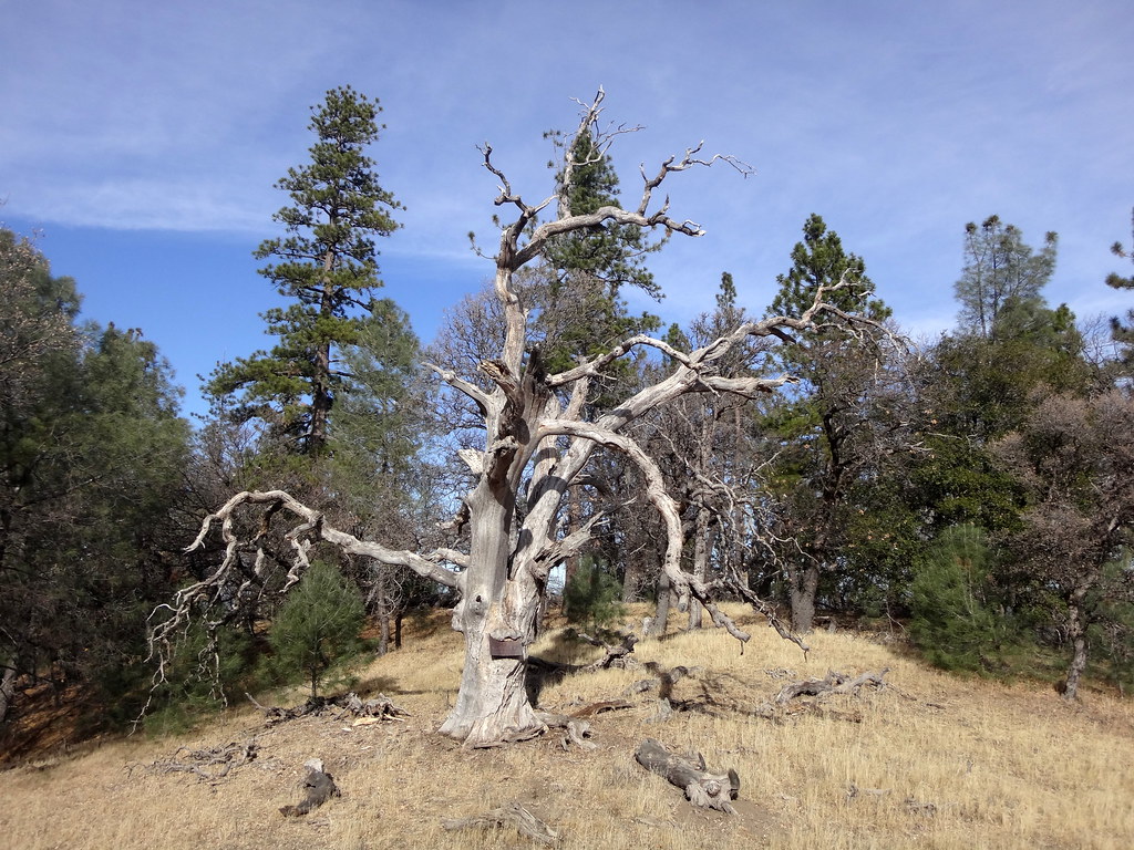 Mule TrailHiking · ~25 min drivePhoto: dret, CC BY-SA 2.0 (via Flickr)
- No Name 155 TrailHiking · ~15 min drive
- Robison Creek TrailHiking · ~18 min drive
- Ridgeline TrailHiking · Next door
- Mount Stakes TrailHiking · ~19 min drive
- Pinto Creek TrailHiking · ~17 min drive
- Isabel Creek TrailHiking · ~22 min drive
- Spider TrailHiking · Next door
- No Name 026 TrailHiking · ~17 min drive

Map and trail data © OpenStreetMap contributors
