Exercise Trail
 Photo: Oscar Vasquez / California Department of Parks and Recreation, Public domain (via Wikimedia Commons)
- 0.3 mi
- round trip
- 161 ft
- climb
- 74 ft
- high point
- Out and back
- route
- Jan–Dec
- best months
Exercise Trail is a short, easy out-and-back hike in Morro Bay State Park in California, managed by State Park and Recreation. The trail is about 0.34 miles long, and the round trip covers roughly 0.68 miles with a total elevation gain of about 161 feet. The route is back-loaded, with the steepest stretch at about 0.16 miles from the start, where the grade reaches about 6 percent. The trail is a quick walk, and the most comfortable time to go is late summer into fall. Typical averages from a nearby weather station show highs around 70 to 72°F from August through October, with almost no wet days. Winter stays mild, with highs in the mid-60s and lows in the mid-40s. Pipeline Trail and South Bay Trail both lie within half a mile, and Black Hill Trail is about 0.5 miles away. For an overnight stay, Morro Bay State Park Campground is about 1.4 miles off.
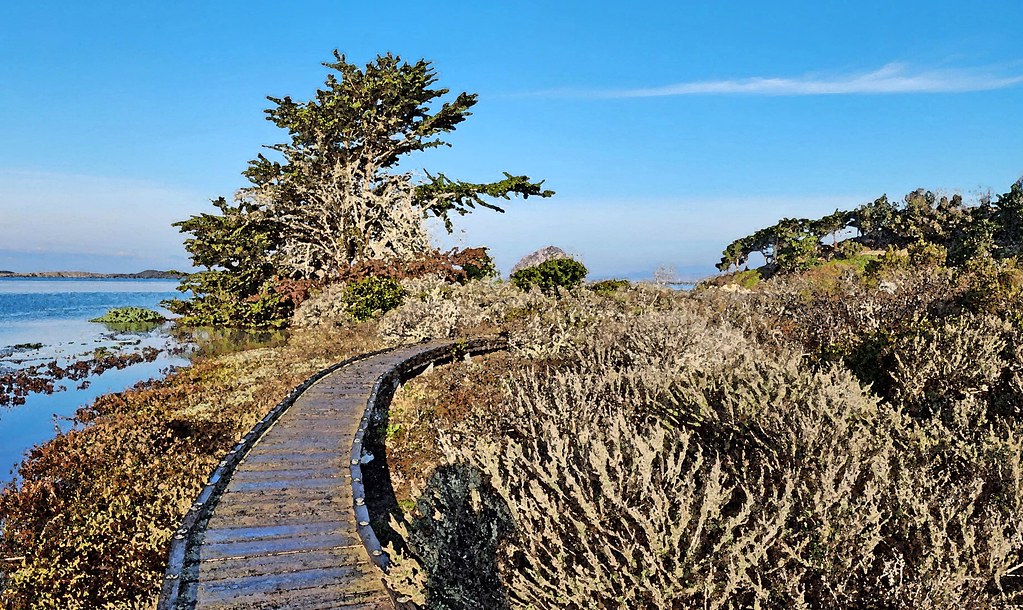 Pipeline TrailHikingPhoto: sloalan, Public Domain Dedication (CC0) (via Flickr)0.3 mi
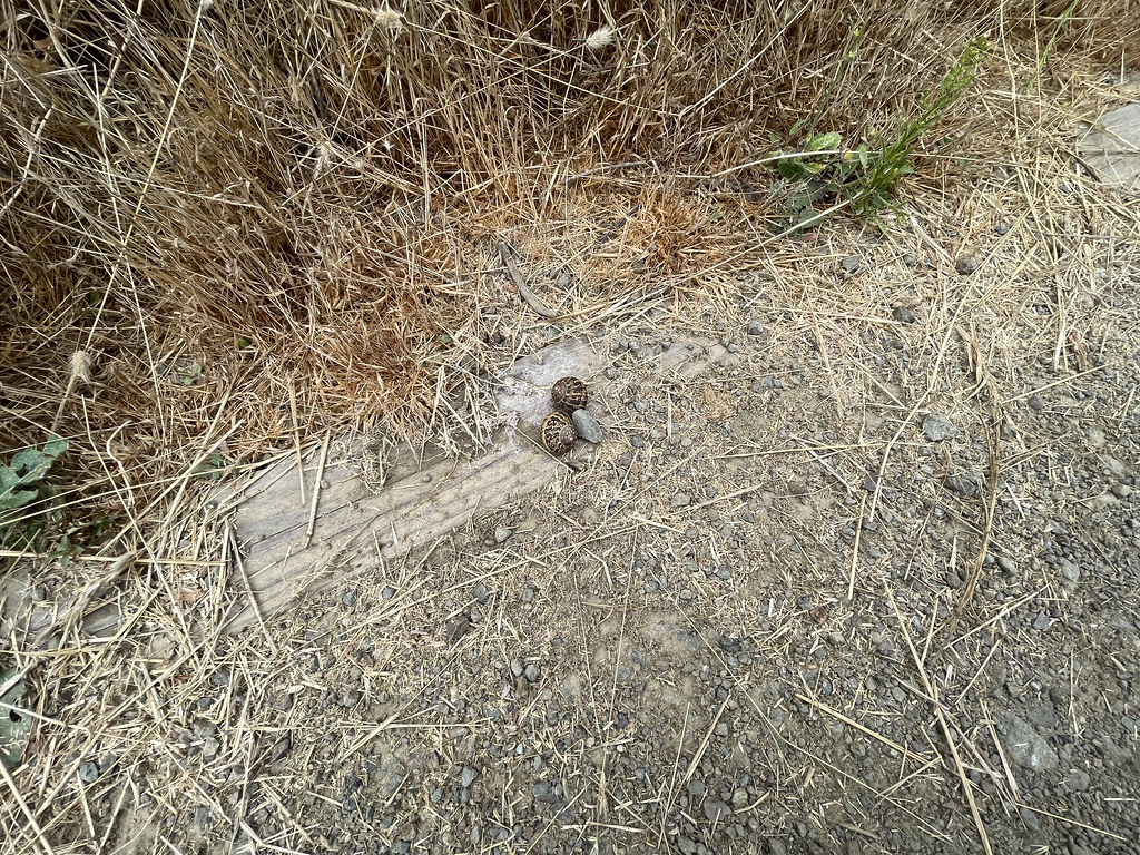 South Bay TrailHikingPhoto: sarahstierch, Public Domain Dedication (CC0) (via Flickr)0.4 mi
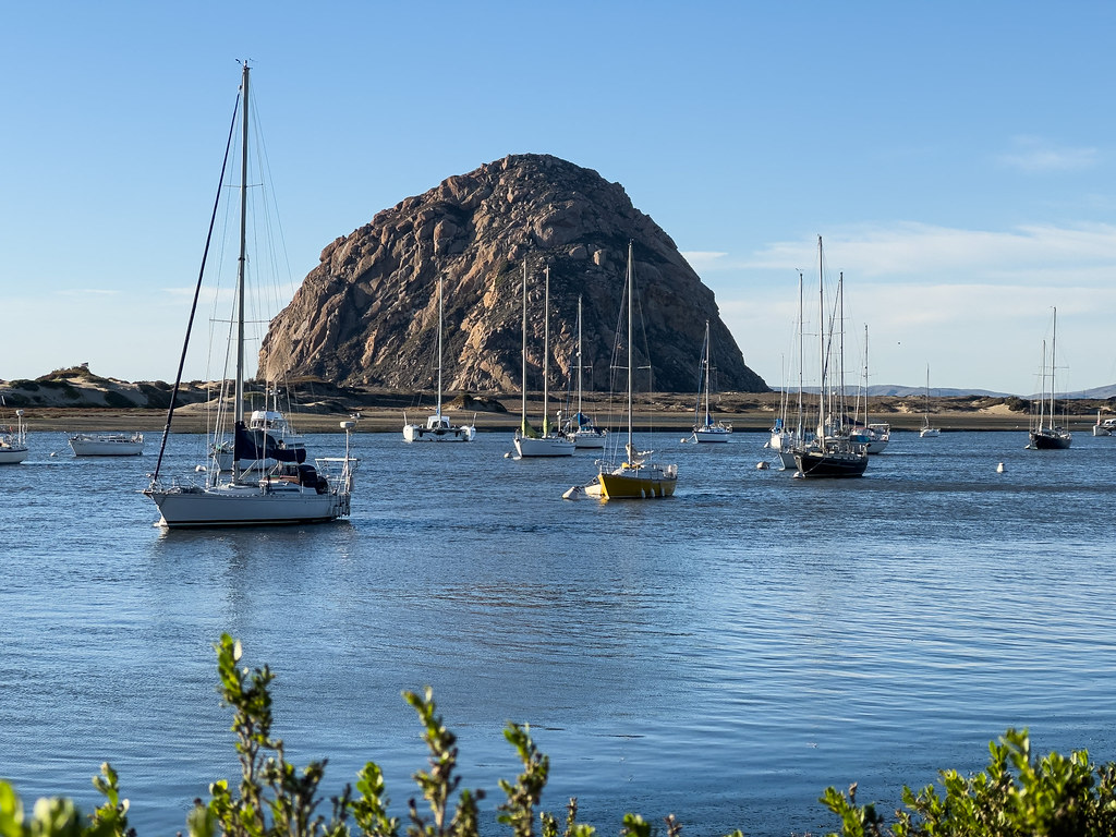 Black Hill TrailHikingPhoto: chucknado, CC BY 2.0 (via Flickr)0.5 mi
- El DoradoRock climbing0.5 mi
 Rock LandRock climbingPhoto: Mike Baird from Morro Bay, USA, CC BY 2.0 (via Wikimedia Commons)0.6 mi
- Cabrillo PeakRock climbingPhoto: Mike Baird from Morro Bay, USA, CC BY 2.0 (via Wikimedia Commons)0.7 mi
 Morro Bay State Park CampgroundCampingPhoto: Tony Webster — CC BY-SA 2.0 (via Flickr)1.4 mi
- Cerro AltoCamping7.2 mi
Source: Roamze catalog (indexable pages within 10 miles, PostGIS distance)
- Pipeline TrailHiking · Next doorPhoto: sloalan, Public Domain Dedication (CC0) (via Flickr)
 Crespi TrailHiking · ~2 min drivePhoto: Gregory "Slobirdr" Smith, CC BY-SA 2.0 (via Flickr)
- South Bay TrailHiking · Next doorPhoto: sarahstierch, Public Domain Dedication (CC0) (via Flickr)
 Canet TrailHiking · ~2 min drivePhoto: sloalan, Public Domain Dedication (CC0) (via Flickr)
- Black Hill TrailHiking · Next doorPhoto: chucknado, CC BY 2.0 (via Flickr)
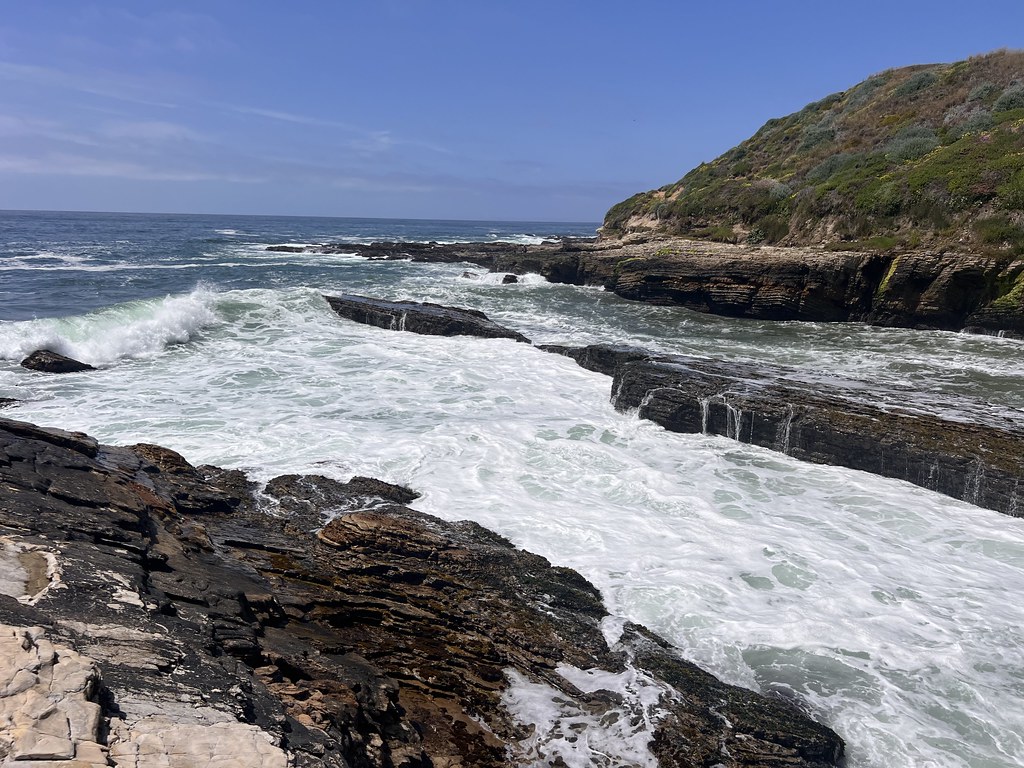 South Dune Loop TrailHiking · ~9 min drivePhoto: Ken Lund, CC BY-SA 2.0 (via Flickr)
- South Bay TrailHiking · Next doorPhoto: Oscar Vasquez / California Department of Parks and Recreation, Public domain (via Wikimedia Commons)
 East Boundary TrailHiking · ~9 min drivePhoto: docentjoyce, CC BY 2.0 (via Flickr)
 Turtle Rock TrailHiking · ~1 min drivePhoto: USFWS Pacific Southwest Region, Public Domain Mark (via Flickr)
 Barranca TrailHiking · ~9 min drivePhoto: bilbord99, CC BY 2.0 (via Flickr)
Also worth it near here
 Black HillSummit · Next doorPhoto: Basar, CC BY-SA 3.0 (via Wikimedia Commons)
- Rock LandRock climbing · ~1 min drivePhoto: Mike Baird from Morro Bay, USA, CC BY 2.0 (via Wikimedia Commons)
- Morro Bay State ParkBeach · ~1 min drive
- Morro Bay State Park CampgroundCamping · ~2 min drivePhoto: Tony Webster — CC BY-SA 2.0 (via Flickr)
Best time to visit Exercise Trail
Best months: Year-round. Best months have typical highs of 55–85 °F, lows of 30 °F or warmer (32 °F where the station doesn't record snow), at most one snowy day and no more than 12 wet days.
Jan
65° / 46°
7 wet
Feb
65° / 48°
8 wet
Mar
66° / 49°
7 wet
Apr
67° / 49°
4 wet
May
67° / 52°
2 wet
Jun
66° / 54°
1 wet
Jul
67° / 56°
0 wet
Aug
70° / 57°
0 wet
Sep
72° / 56°
1 wet
Oct
72° / 54°
2 wet
Nov
69° / 50°
4 wet
Dec
65° / 46°
6 wet
Typical high / low (°F) and days with rain or snow, 1991–2020. Measured at Morro Bay Fire Dept, CA, 1.3 mi away at 118 ft. Source: NOAA NCEI U.S. Climate Normals 1991–2020.
Map and trail data © OpenStreetMap contributors
