Crespi Trail
 Photo: Gregory "Slobirdr" Smith, CC BY-SA 2.0 (via Flickr)
- 2.5 mi
- round trip
- 1,513 ft
- climb
- 425 ft
- high point
- Out and back
- route
- Jan–Dec
- best months
Crespi Trail is a moderate out-and-back hike in Morro Bay State Park in California, managed by State Park and Recreation. The trail is about 4.9 miles long, with a total elevation gain of 1,513 feet, and it starts at an elevation of 212 feet, rising to a high point of 425 feet. The climb is steady, and the steepest stretch comes at about 0.46 miles in, with a grade of 26 percent. The most comfortable time to go is late summer into fall. Typical averages from a nearby weather station show September and October highs around 72°F with lows in the mid-50s and only a day or two of rain each month. Winter is cooler and wetter, with highs in the mid-60s and about seven wet days a month. The trail sits close to several other destinations. Park Ridge Rock, a climbing area, is just 0.1 mile away, and the Chumash Trail and Portola Trail are within a third of a mile. For an overnight stay, Morro Bay State Park Campground is about 2.4 miles off.
- Park Ridge RockRock climbing0.1 mi
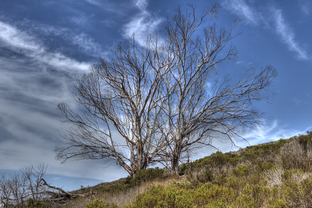 Chumash TrailHikingPhoto: Fred Moore 1947, CC BY 2.0 (via Flickr)0.2 mi
 Portola TrailHikingPhoto: Oscar Vasquez / California Department of Parks and Recreation, Public domain (via Wikimedia Commons)0.3 mi
 Park Ridge TrailHikingPhoto: JingKe888, CC BY 2.0 (via Flickr)0.3 mi
 Cabrillo PeakRock climbingPhoto: Mike Baird from Morro Bay, USA, CC BY 2.0 (via Wikimedia Commons)0.5 mi
- El DoradoRock climbing0.5 mi
 Morro Bay State Park CampgroundCampingPhoto: Tony Webster — CC BY-SA 2.0 (via Flickr)2.4 mi
- Cerro AltoCamping7.1 mi
Source: Roamze catalog (indexable pages within 10 miles, PostGIS distance)
- Chumash TrailHiking · Next doorPhoto: Fred Moore 1947, CC BY 2.0 (via Flickr)
 Canet TrailHiking · ~1 min drivePhoto: sloalan, Public Domain Dedication (CC0) (via Flickr)
- Portola TrailHiking · Next doorPhoto: Oscar Vasquez / California Department of Parks and Recreation, Public domain (via Wikimedia Commons)
 East Boundary TrailHiking · ~8 min drivePhoto: docentjoyce, CC BY 2.0 (via Flickr)
- Park Ridge TrailHiking · Next doorPhoto: JingKe888, CC BY 2.0 (via Flickr)
 Barranca TrailHiking · ~9 min drivePhoto: bilbord99, CC BY 2.0 (via Flickr)
 Live Oak TrailHiking · Next doorPhoto: USFWS Pacific Southwest Region, Public Domain Mark (via Flickr)
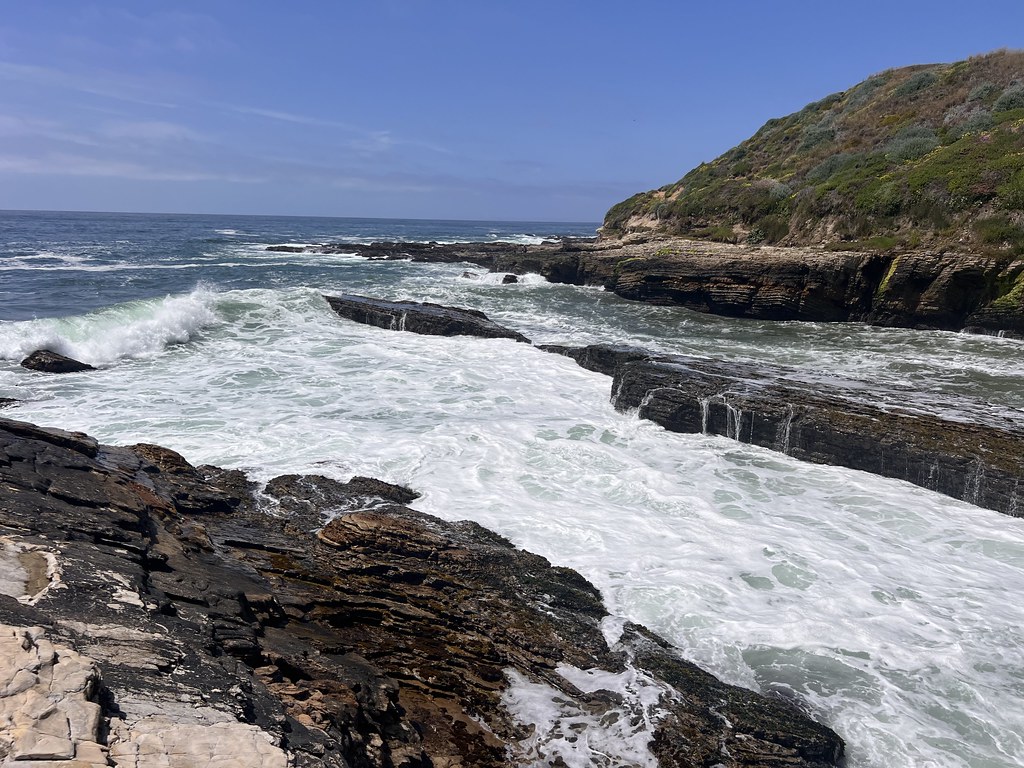 South Dune Loop TrailHiking · ~9 min drivePhoto: Ken Lund, CC BY-SA 2.0 (via Flickr)
- Unmaintained TrailHiking · Next doorPhoto: Fred Moore 1947, CC BY 2.0 (via Flickr)
 Bloody Nose TrailHiking · ~9 min drivePhoto: Ken Lund, CC BY-SA 2.0 (via Flickr)
Also worth it near here
- Cabrillo PeakRock climbing · Next doorPhoto: Mike Baird from Morro Bay, USA, CC BY 2.0 (via Wikimedia Commons)
 Cerro CabrilloSummit · ~1 min drivePhoto: No machine-readable author provided. Kjkolb assumed (based on copyright claims)., CC BY 2.5 (via Wikimedia Commons)
- Morro Bay State ParkBeach · ~3 min drive
- Morro Bay State Park CampgroundCamping · ~4 min drivePhoto: Tony Webster — CC BY-SA 2.0 (via Flickr)
Best time to visit Crespi Trail
Best months: Year-round. Best months have typical highs of 55–85 °F, lows of 30 °F or warmer (32 °F where the station doesn't record snow), at most one snowy day and no more than 12 wet days.
Jan
65° / 46°
7 wet
Feb
65° / 48°
8 wet
Mar
66° / 49°
7 wet
Apr
67° / 49°
4 wet
May
67° / 52°
2 wet
Jun
66° / 54°
1 wet
Jul
67° / 56°
0 wet
Aug
70° / 57°
0 wet
Sep
72° / 56°
1 wet
Oct
72° / 54°
2 wet
Nov
69° / 50°
4 wet
Dec
65° / 46°
6 wet
Typical high / low (°F) and days with rain or snow, 1991–2020. Measured at Morro Bay Fire Dept, CA, 2.3 mi away at 118 ft. Source: NOAA NCEI U.S. Climate Normals 1991–2020.
Map and trail data © OpenStreetMap contributors
