Kennedy Meadow And Burton Meadow
Campground
Campground · 1.2 mi from the trail
Closure in the area
There's a closure order in Sequoia National Forest. It doesn't name Evans Grove Loop, so check the source for the area it covers (2 listed).
Tule River Glass Container Prohibition Area
Agency closure covering Sequoia National Forest · Order 0513-26-02 · USFS · Sequoia National Forest
Trail of 100 Giants Boardwalk and Area Closure
Agency closure covering Sequoia National Forest · Order 0513-26-03 · USFS · Sequoia National Forest
PUBLIC NUDITY PROHIBITION - Sequoia National Forest
Agency alert covering Sequoia National Forest · Order 0513-26-06 · USFS · Sequoia National Forest
Chico Flat Dispersed Camping Area Prohibition 26-27
Agency alert covering Sequoia National Forest · Order 0513-26-09 · USFS · Sequoia National Forest
Wildlife Alert - BEARS
Agency alert covering Sequoia National Forest · USFS · Sequoia National Forest
As of · Source: USFS · Sequoia National Forest. Agencies don't list every closure — check before you go.
Evans Grove Loop is an easy, out-and-back hike of about 2.2 miles in the Hume Lake Ranger District of Sequoia National Forest in California. The trail rises from a low point of about 6,833 feet to a high of about 7,196 feet, with a total elevation gain of about 392 feet. The Forest Service manages the land, and the trail is open year-round. The route is natural-surfaced and allows horses, so it works well for riders as well as hikers. Bikes are not allowed. The most comfortable stretch for a visit runs from June through September, when typical averages from the nearby Grant Grove weather station show highs in the low to mid 70s and only one or two wet days a month. That station sits about 600 feet lower than the trail's high point, so temperatures on the loop run a little cooler. Kanawyer is about a mile away, and Little Boulder Grove is about 2 miles off. For an overnight stay, Convict Flat Campground is about 3 miles away, and Landslide Campground is about 3.4 miles away.
Kennedy Meadow And Burton Meadow
Campground
 If it rainsDavid Fulmer, CC BY 2.0 · Wikimedia Commons
Giant Forest Museum
Museum
Places © OpenStreetMap contributors · Photos: David Fulmer, CC BY 2.0 (commons)
More in Silver CityNot on Roamze yet. Their page has how to reach them.
Best months: May–October. Best months have typical highs of 55–85 °F, lows of 30 °F or warmer (32 °F where the station doesn't record snow), at most one snowy day and no more than 12 wet days.
Jan
46° / 26°
9 wet
Feb
46° / 25°
10 wet
Mar
48° / 27°
10 wet
Apr
52° / 30°
7 wet
May
60° / 38°
5 wet
Jun
71° / 46°
2 wet
Jul
79° / 52°
1 wet
Aug
79° / 52°
1 wet
Sep
73° / 47°
2 wet
Oct
63° / 39°
4 wet
Nov
53° / 32°
6 wet
Dec
46° / 25°
8 wet
Typical high / low (°F) and days with rain or snow, 1991–2020. Measured at Grant Grove, CA, 8.2 mi away at 6,580 ft. The station sits about 600 ft lower than this place, so expect it a little cooler here. This station doesn't record snowfall. Source: NOAA NCEI U.S. Climate Normals 1991–2020.
 Photo: My Blue Van, CC BY-SA 2.0 (via Flickr)
Big Meadow
~7 min drive
3.91-mile out-and-back trail in California with 959 ft elevation gain.
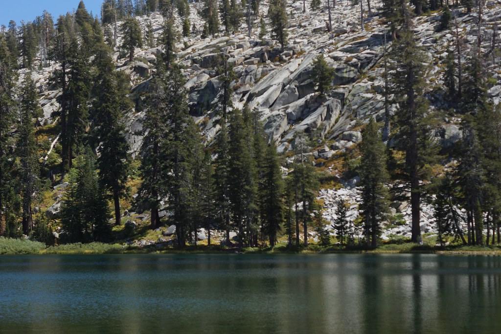 Photo: a200/a77Wells, CC BY 2.0 (via Flickr)
Jennie Lake
~8 min drive
11.80-mile out-and-back trail in California with 2,018 ft gain
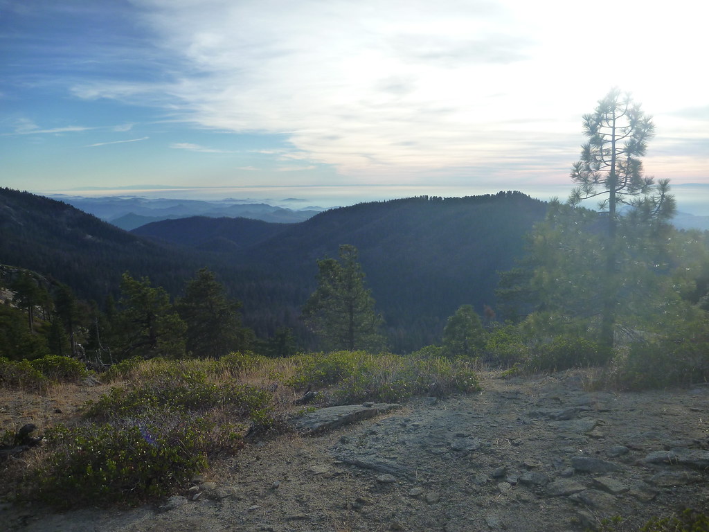 Photo: Gnaphron, CC BY-SA 2.0 (via Flickr)
Buena Vista
~10 min drive
0.99-mile out-and-back trail in California with 390 ft elevation gain.
HIKE
Cherry Gap
~13 min drive
This Forest Service area 3 miles (4.8 kilometer) north of Grant Grove is part of the Converse Basin sequoia grove. From Cherry Gap, you can take roads to the Chicago Stump. Once the General Noble Tree, it was cut into pieces in 1897, shipped to the Chicago World's Fair, and…
 Photo: Yssso, CC BY-SA 2.0 (via Flickr)
Yucca Point
~8 min drive
3.60-mile out-and-back trail in California with 802 ft elevation gain.
Photo: a200/a77Wells, CC BY 2.0 (via Flickr)WEAVER LAKE
~8 min drive
13.48-mile out-and-back trail to Weaver Lake in California, 9,041 ft max elevation.
 Photo: jeepwaters, CC BY 3.0 (via Wikimedia Commons)
Indian Basin
~12 min drive
1.23-mile out-and-back trail in California with 318 ft elevation gain.
 Photo: ciamabue, CC BY 2.0 (via Flickr)
Hume Lake
~8 min drive
5.20-mile out-and-back trail in California with 1,009 ft gain.
HIKE
Lewis Creek Trailhead
~13 min drive
This trailhead orientation panel shows a map and images of the Lewis Creek Trail area. Lewis Creek Trail is a 9.8 miles one-way trail at a difficult incline. This can be a hot and dusty climb, and the trail becomes difficult to follow north of Kennedy Pass. The trail offers…
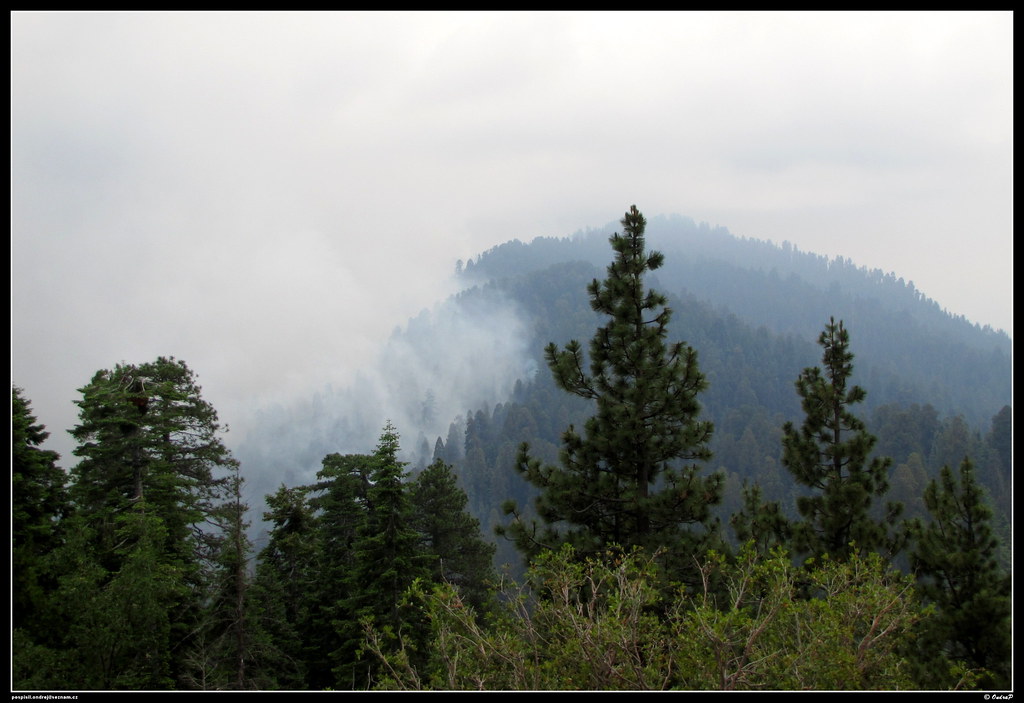 Photo: ondraposp, CC BY-SA 2.0 (via Flickr)
Manzanita
~12 min drive
1.81-mile out-and-back trail in California with 699 ft gain.
