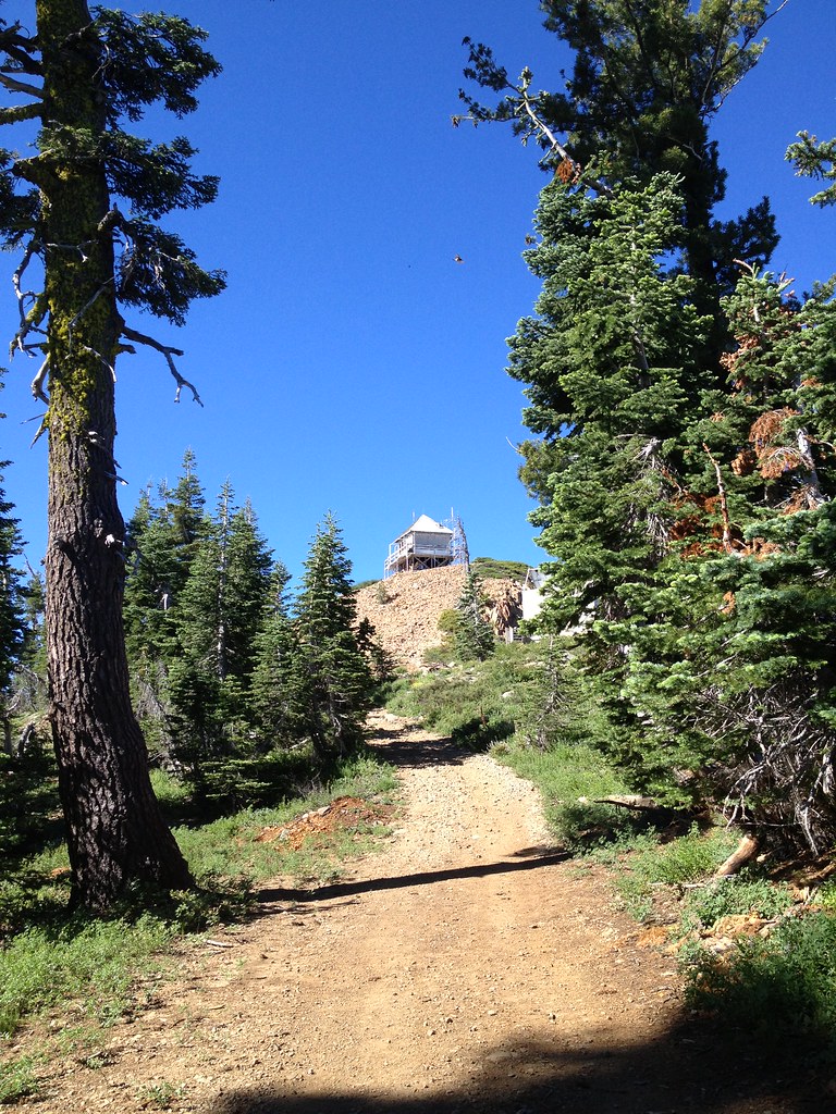
Grouse Ridge
Campground
Campground · 1.2 mi from the trail
 Photo: ray_explores, CC BY 2.0 (via Flickr)
Alert in the area
The Forest Service lists an alert for Tahoe National Forest.
Camping and Campfire Restrictions-Truckee and Sierraville Districts
Agency alert covering Tahoe National Forest · Order 17-25-05 · USFS · Tahoe National Forest
As of · Source: USFS · Tahoe National Forest. Agencies don't list every closure — check before you go.
Blue Lake is an easy, out-and-back hike in California's Tahoe National Forest, within the Yuba River Ranger District. The trail is about 3 miles long, with a low point of 6,026 feet and a high of 6,237 feet, and it gains about 190 feet of elevation. The Forest Service manages the land, and the route is natural-surfaced and open year-round. Summer is the most comfortable time to go. Typical averages from the nearby Lake Spaulding weather station, which sits about 1,100 feet lower, show July and August highs around 82°F with lows in the upper 40s. Winter there runs cold, with January highs in the mid-40s and lows near 25°F. Bikes are allowed on the trail. Beyers Lake is about a mile away, and the Fordyce Foot hike and Grouse Ridge campground are each about 1.2 miles off. Pierce Creek Campground is about 2 miles away.
Grouse Ridge
Campground
The Rustic Table
Restaurant
Golden Drift Museum
Museum
Places © OpenStreetMap contributors
More in Nevada CityNot on Roamze yet. Their page has how to reach them.
Best months: May–October. Best months have typical highs of 55–85 °F, lows of 30 °F or warmer (32 °F where the station doesn't record snow), at most one snowy day and no more than 12 wet days.
Jan
44° / 25°
Feb
46° / 26°
Mar
51° / 27°
Apr
56° / 30°
May
64° / 37°
Jun
75° / 43°
Jul
82° / 48°
Aug
82° / 47°
Sep
76° / 44°
Oct
65° / 37°
Nov
51° / 30°
Dec
43° / 25°
Typical high / low (°F) and days with rain or snow, 1991–2020. Measured at Lake Spaulding, CA, 4 mi away at 5,156 ft. The station sits about 1,100 ft lower than this place, so expect it a little cooler here. This station doesn't record snowfall. Source: NOAA NCEI U.S. Climate Normals 1991–2020.
 Photo: ray_explores, CC BY 2.0 (via Flickr)
Downey Lake
~3 min drive
0.72-mile out-and-back trail to Downey Lake in California.
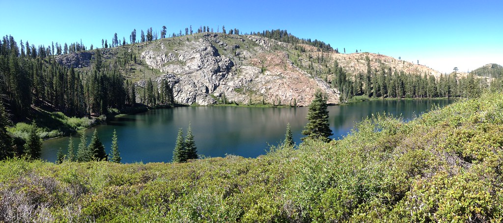 Photo: ray_explores, CC BY 2.0 (via Flickr)
Round Lake
~3 min drive
5.20-mile out-and-back trail in California with 500 ft elevation gain.
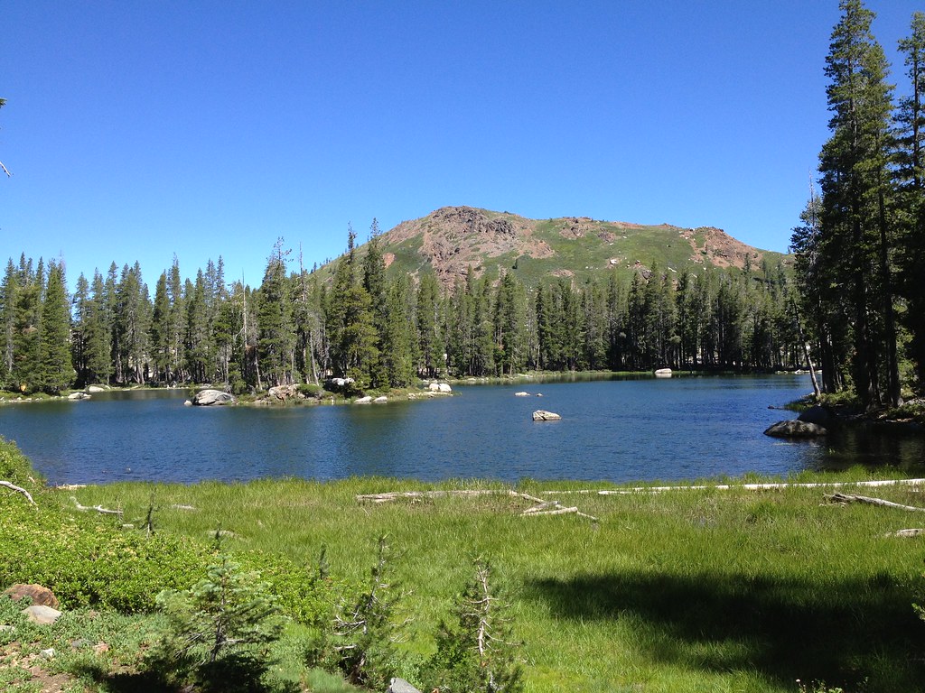 Photo: ray_explores, CC BY 2.0 (via Flickr)
Crooked Lakes Trail
~4 min drive
6.60-mile out-and-back hike in California with 628 ft elevation gain.
 Photo: ilya_ktsn, CC BY 2.0 (via Flickr)
Five Lakes Basin
~6 min drive
2-mile out-and-back trail in California's Five Lakes Basin with 32 ft of elevation gain.
Photo: ray_explores, CC BY 2.0 (via Flickr)Glacier Lake
~4 min drive
5.76-mile out-and-back trail to Glacier Lake in California with 671 ft of elevation gain.
 Photo: waterarchives, CC BY-SA 2.0 (via Flickr)
Spaulding Lake Trail
~5 min drive
8.80-mile out-and-back hike in California with 1,124 ft gain.
Photo: ilya_ktsn, CC BY 2.0 (via Flickr)Sand Ridge Trail
~6 min drive
4.28-mile out-and-back hike in California with 919 ft elevation gain and loss.
 Photo: Loco Steve, CC BY 3.0 (via Wikimedia Commons)
SIGNAL PEAK LOOKOUT LOOP
~7 min drive
2.6-mile out-and-back out-and-back at Signal Peak Lookout in California
 Photo: ray_explores, CC BY 2.0 (via Flickr)
Beyers Lake Trail (13E15)
~7 min drive
9.56-mile out-and-back hike in California with 2,755 ft elevation gain and loss.
Photo: ray_explores, CC BY 2.0 (via Flickr)Baltimore
~7 min drive
0.66-mile out-and-back trail in California with 94 ft of elevation gain.