Doolittle Trail
Campground
Campground · 0.9 mi from the trail
Alert in the area
The Forest Service lists an alert for Tahoe National Forest.
Camping and Campfire Restrictions-Truckee and Sierraville Districts
Agency alert covering Tahoe National Forest · Order 17-25-05 · USFS · Tahoe National Forest
As of · Source: USFS · Tahoe National Forest. Agencies don't list every closure — check before you go.
Doolittle is a 2.4-mile out-and-back hike in the Yuba River Ranger District of Tahoe National Forest in California, managed by the Forest Service. The trail rises from about 3,035 feet to about 4,643 feet, a climb of roughly 1,580 feet one way, and is rated easy. Summer is the most comfortable time to go. Typical averages from the nearby Lake Spaulding weather station show July and August highs around 82°F with lows in the upper 40s, while winter highs sit in the low to mid 40s. Bikes are allowed on the natural-surface trail. The Arctic Mine Trail and South Yuba Ridge Trail both lie about a mile away. Paddlers can head to Clear Creek, about 2.5 miles off, and Rucker Lake campground is about 4.1 miles away.
Doolittle Trail
Campground
The Rustic Table
Restaurant
Firehouse Number 1 Museum
Museum
Places © OpenStreetMap contributors
More in Nevada CityNot on Roamze yet. Their page has how to reach them.
Best months: May–October. Best months have typical highs of 55–85 °F, lows of 30 °F or warmer (32 °F where the station doesn't record snow), at most one snowy day and no more than 12 wet days.
Jan
44° / 25°
Feb
46° / 26°
Mar
51° / 27°
Apr
56° / 30°
May
64° / 37°
Jun
75° / 43°
Jul
82° / 48°
Aug
82° / 47°
Sep
76° / 44°
Oct
65° / 37°
Nov
51° / 30°
Dec
43° / 25°
Typical high / low (°F) and days with rain or snow, 1991–2020. Measured at Lake Spaulding, CA, 5.4 mi away at 5,156 ft. The station sits about 500 ft higher than this place, so expect it a little warmer here. This station doesn't record snowfall. Source: NOAA NCEI U.S. Climate Normals 1991–2020.
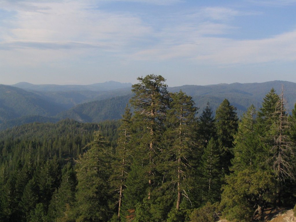 Photo: Ken Lund, CC BY-SA 2.0 (via Flickr)
OMEGA MC TRAIL
~7 min drive
9.26-mile out-and-back trail in California with 1,583 ft elevation gain and loss.
 Photo: jdnx, CC BY 2.0 (via Flickr)
Rocky Pioneer Trail
~9 min drive
1.12-mile out-and-back hike in California with 174 ft gain.
Photo: jdnx, CC BY 2.0 (via Flickr)Hallelujah
~10 min drive
7.42-mile out-and-back trail in California with 1,356 ft elevation gain.
Photo: jdnx, CC BY 2.0 (via Flickr)OMEGA OVERLOOK MC TRAIL
~8 min drive
8.38-mile out-and-back trail in California with 1,681 ft elevation gain and loss.
 Photo: ray_explores, CC BY 2.0 (via Flickr)
Blue Lake
~11 min drive
2.95-mile out-and-back trail to Blue Lake in California with 1,031 ft of elevation gain.
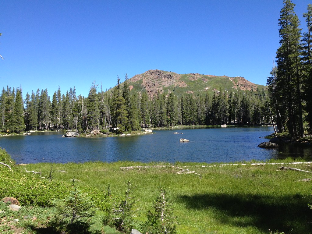 Photo: ray_explores, CC BY 2.0 (via Flickr)
Crooked Lakes Trail
~11 min drive
6.60-mile out-and-back hike in California with 628 ft elevation gain.
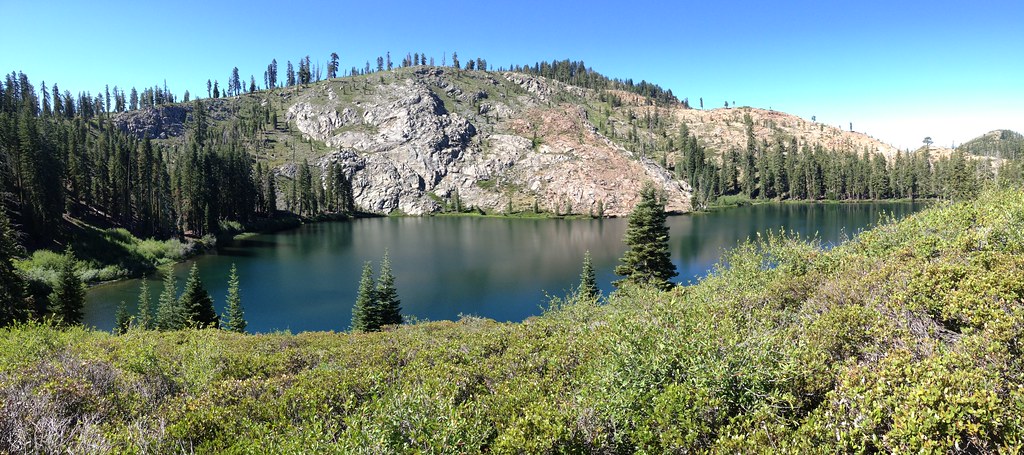 Photo: ray_explores, CC BY 2.0 (via Flickr)
Glacier Lake
~13 min drive
5.76-mile out-and-back trail to Glacier Lake in California with 671 ft of elevation gain.
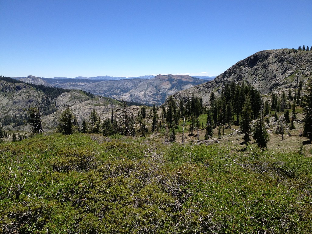 Photo: ray_explores, CC BY 2.0 (via Flickr)
Sanford Lake
~11 min drive
0.98-mile out-and-back trail to Sanford Lake in California.
 Photo: Kurt Minard, CC BY-SA 3.0 (via Wikimedia Commons)
Mears Lake Valley
~15 min drive
6.40-mile out-and-back trail in California with 1,755 ft elevation gain.
 Photo: jdnx, CC BY 2.0 (via Flickr)
LAST CHANCE MC TRAIL
~4 min drive
9.78-mile out-and-back hike in California with 1,982 ft elevation gain.


