Crooked Lake Trail (horse trail)
- 0.5 mi
- round trip
- 408 ft
- climb
- 7,075 ft
- high point
- Out and back
- route
- Jun–Aug
- best months
Is Crooked Lake Trail (horse trail) open right now?
Alert in the area
The Forest Service lists an alert for Tahoe National Forest.
Camping and Campfire Restrictions-Truckee and Sierraville Districts
Agency alert covering Tahoe National Forest · Order 17-25-05 · USFS · Tahoe National Forest
As of · Source: USFS · Tahoe National Forest. Agencies don't list every closure — check before you go.
Crooked Lake Trail is an easy out-and-back ride on horseback, about half a mile from the starting point, with a total climb of about 400 feet. The route is roughly 1.1 miles long, and the steepest stretch comes at the very beginning, with a grade of about 21 percent, before the trail eases into a gentler climb to a high point of 7,075 feet. The trail sits in the Yuba River Ranger District of Tahoe National Forest in California, which the Forest Service manages. The route is short enough to fit into a half day, and the surrounding area offers plenty to pair it with. Summer is the most comfortable time to go. Typical averages from a nearby weather station show July highs around 80°F and lows near 37°F. That station sits about 700 feet below the trail's high point, so temperatures up here run a little cooler. Lindsey Lake and Bowman Mountain are both within a mile. Island Lake Boulders, a climbing area, is about 1.9 miles away, and Jackson Creek campground is about 2.1 miles away.
Local outfitters
- Alpenglow Expeditions26 mi away
Not on Roamze yet. Their page has how to reach them.
- Lindsey LakeHiking0.5 mi
- Bowman MountainHiking0.6 mi
 Island Lake BouldersRock climbingPhoto: ilya_ktsn, CC BY 2.0 (via Flickr)1.9 mi
- Jackson CreekCamping2.1 mi
- Carr LakeCamping2.4 mi
 Larry LandRock climbingPhoto: MarkDoliner, CC BY-SA 2.0 (via Flickr)2.5 mi
- Canyon CreekCanoeing2.7 mi
- East Fork CreekCanoeing4.3 mi
Source: Roamze catalog (indexable pages within 10 miles, PostGIS distance)
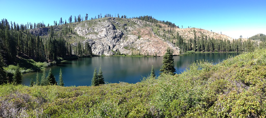 Glacier LakeHiking · ~4 min drivePhoto: ray_explores, CC BY 2.0 (via Flickr)
 Downey LakeHiking · ~4 min drivePhoto: ray_explores, CC BY 2.0 (via Flickr)
 Beyers Lake Trail (13E15)Hiking · ~9 min drivePhoto: ray_explores, CC BY 2.0 (via Flickr)
 Pacific Crest TrailHiking · ~12 min drivePhoto: Ken Lund, CC BY-SA 2.0 (via Flickr)
- Round LakeHiking · ~4 min drivePhoto: ray_explores, CC BY 2.0 (via Flickr)
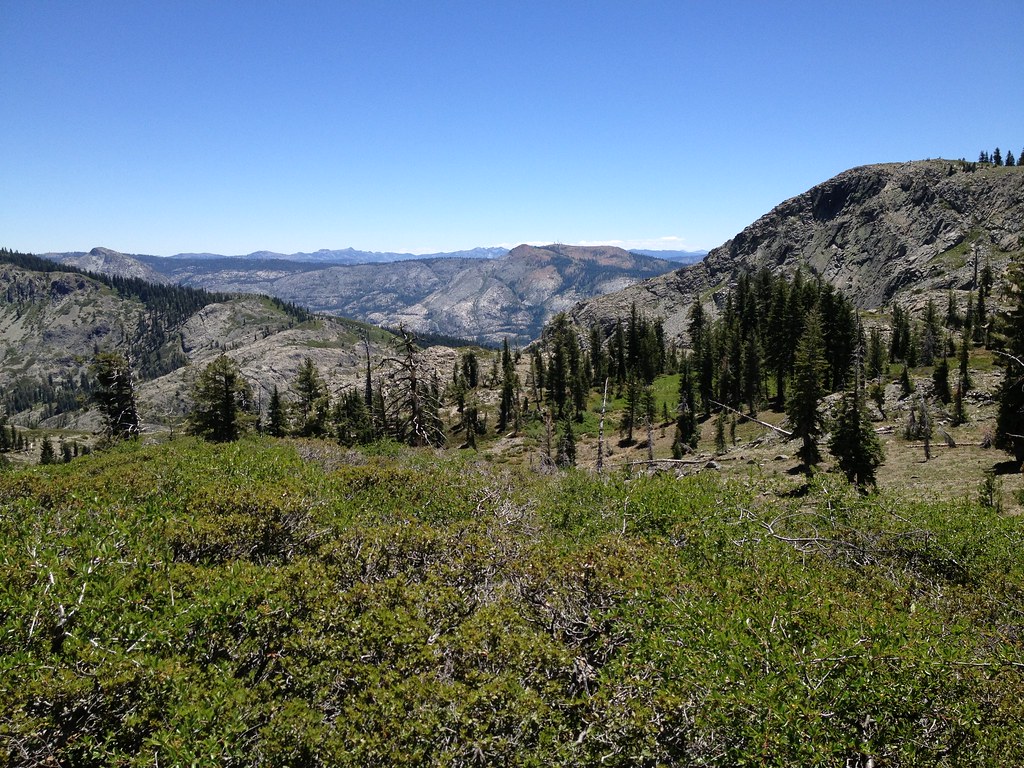 Sanford LakeHiking · ~5 min drivePhoto: ray_explores, CC BY 2.0 (via Flickr)
 Spaulding Lake TrailHiking · ~11 min drivePhoto: waterarchives, CC BY-SA 2.0 (via Flickr)
- MEADOW LAKE LOOPHiking · ~15 min drive
 Pacific Crest TrailHiking · ~12 min drivePhoto: M. Rhodes Photography, Public Domain Mark (via Flickr)
 Sand Ridge TrailHiking · ~5 min drivePhoto: ilya_ktsn, CC BY 2.0 (via Flickr)
Best time to visit Crooked Lake Trail (horse trail)
Best months: June–August. Best months have typical highs of 55–85 °F, lows of 30 °F or warmer (32 °F where the station doesn't record snow), at most one snowy day and no more than 12 wet days.
Jan
40° / 15°
Feb
41° / 15°
Mar
48° / 19°
Apr
53° / 22°
May
62° / 28°
Jun
72° / 32°
Jul
80° / 37°
Aug
79° / 35°
Sep
73° / 31°
Oct
61° / 24°
Nov
49° / 20°
Dec
39° / 14°
Typical high / low (°F) and days with rain or snow, 1991–2020. Measured at Sagehen Creek, CA, 19.9 mi away at 6,337 ft. The station sits about 700 ft lower than this place, so expect it a little cooler here. This station doesn't record snowfall. Source: NOAA NCEI U.S. Climate Normals 1991–2020.
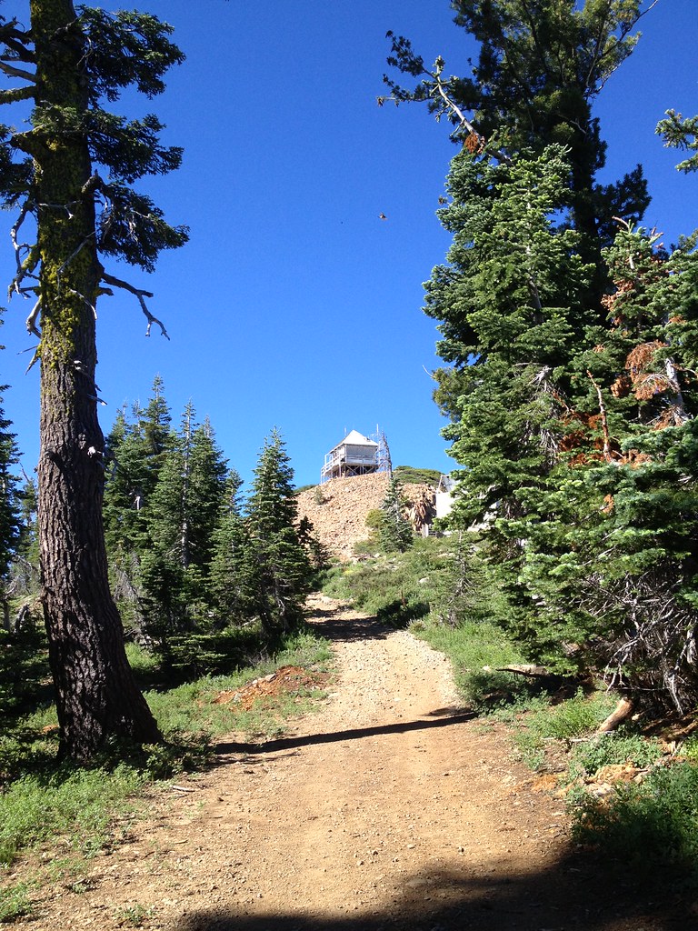
Map and trail data © OpenStreetMap contributors
