Loading…

Keys West Wilderness Backpacking Board
Free — you'll pick up right here.
Watch this trail
Sign up to watch it — saving subscribes you to gate, closure and report changes.
California
We won't guess. Here is exactly what we do and don't know.
What we do know
Inside Joshua Tree National Park
National Park unit boundary is mapped — agency alerts for it feed this page automatically.
Boundary data
What's missing
No access route mapped
We don't yet know which road reaches this trailhead, so we can't tell you if it's gated.
Nobody's filed a report here yet — be the first.
Keys West Wilderness Backpacking Board
AI-suggested draft · review before you go
No elevation data on file for this trail.
No permit or access details on file for this trail — check with the local land manager before you go.
The Keys West Backcountry Board is located at the Upper Boy Scout Trail, aka the south end of the Boy Scout Trail, along Park Boulevard. This trailhead provides access to the Boy Scout Trail and Willow Hole Trail. The backcountry board serves as a self registration point for backpacking along the Boy Scout Trail.
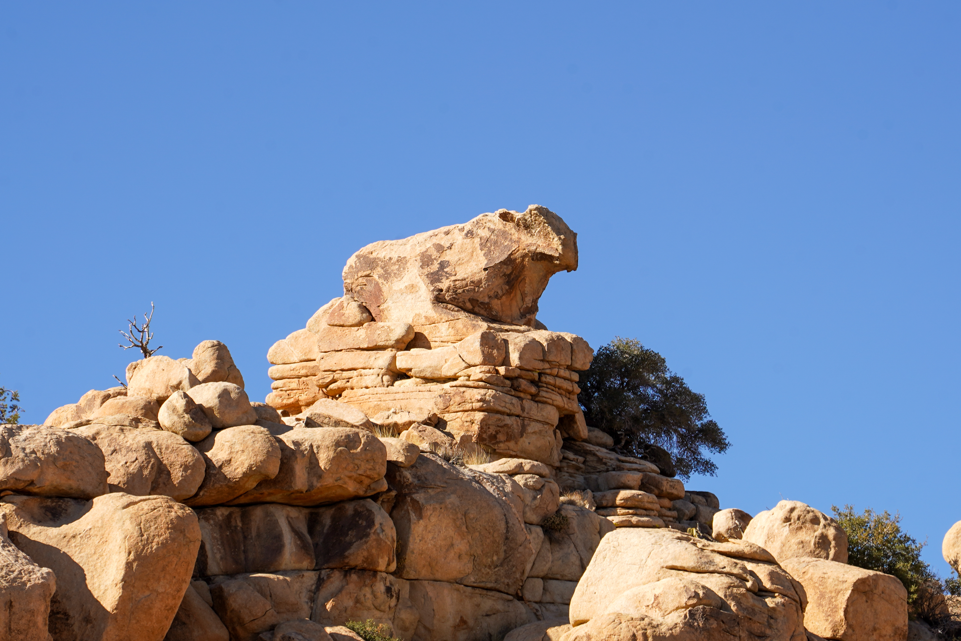
Cow Rock
~3 min drive
A rock formation that is shaped like a cow overlooking the Hidden Valley Trail. To find this rock formation while hiking the Hidden Valley Trail, stop at the Mountain Quail Interpretive Sign and look to the west. At the top of the tall wall of rocks is Cow Rock.
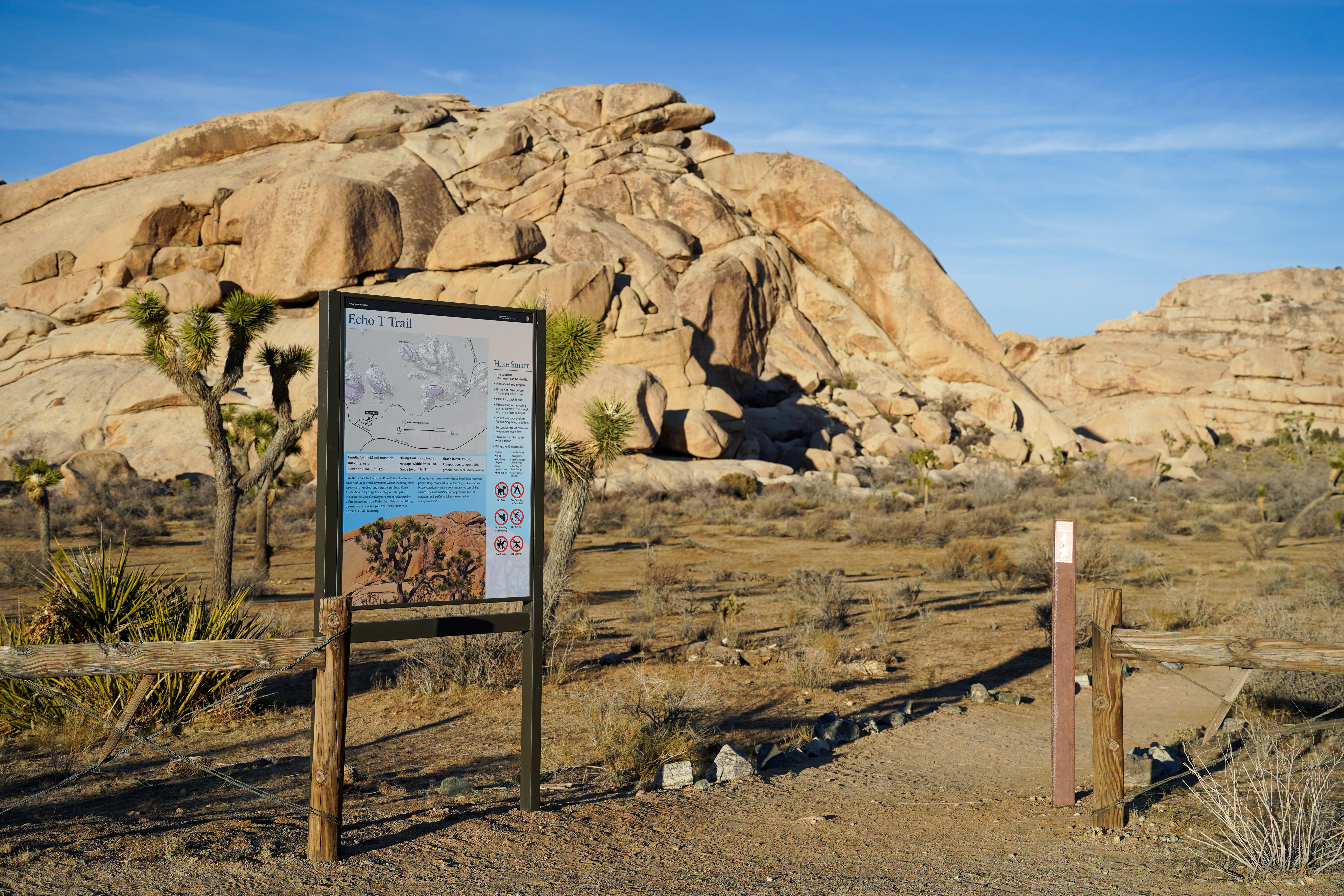
Echo T Trailhead
~4 min drive
Take the Echo T Trail to connect to the Barker Dam Trail from the Echo T parking lot. This trail follows a wash near unique rock formations. Meander among Joshua trees and other desert plants. Watch for climbers or try to spot desert bighorn sheep. Get ready for a minor rock s…
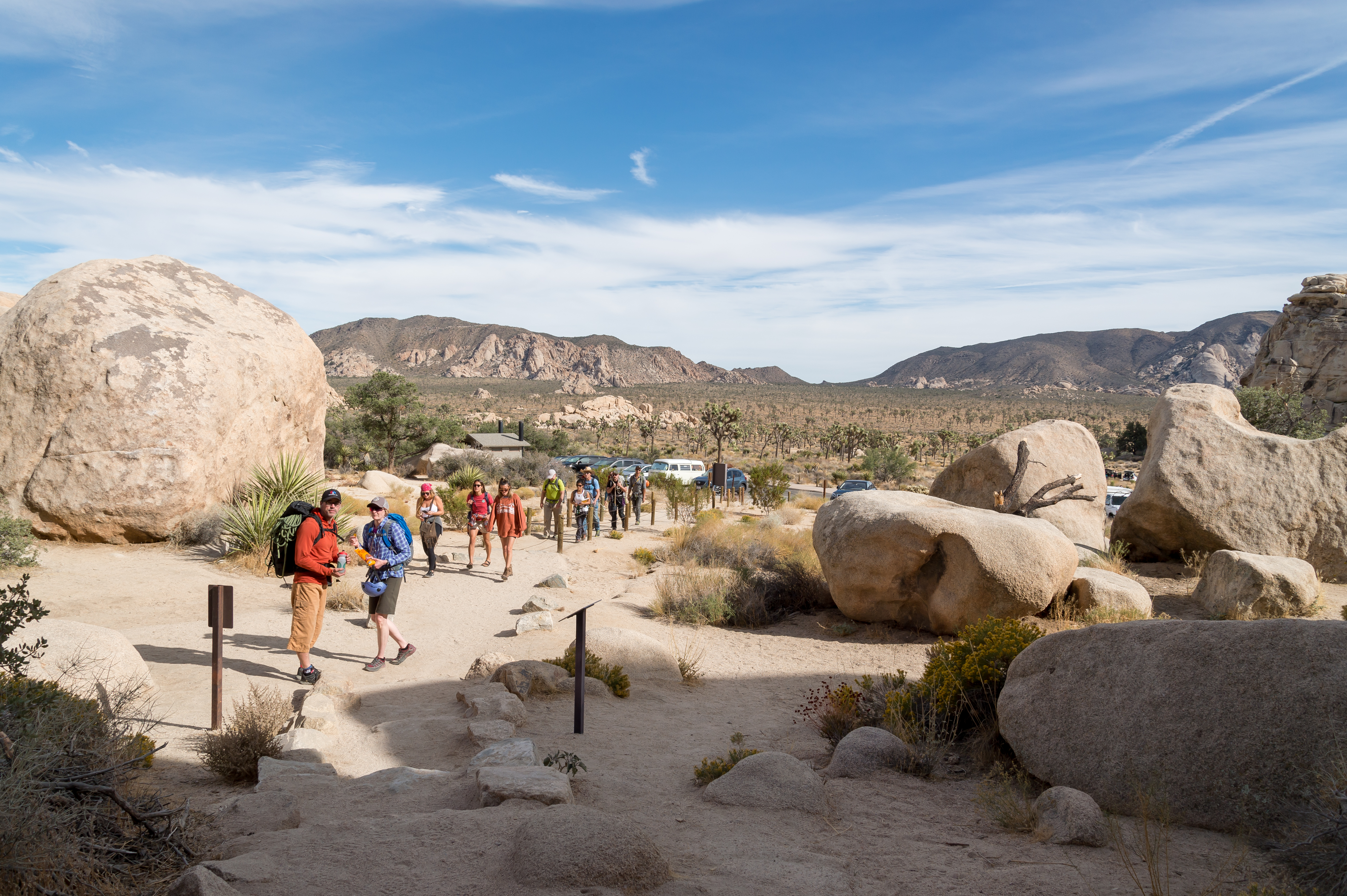
Hidden Valley Trailhead
~4 min drive
<p paraeid="{9296a7fe-185c-4ce3-b578-0e633a2bc16b}{152}" paraid="1177623846">The Hidden Valley Trail is a one-mile loop hike through a scenic valley surrounded by large rock formations. The trail is excellent for families and offers exciting opportunities for rock scrambling.…
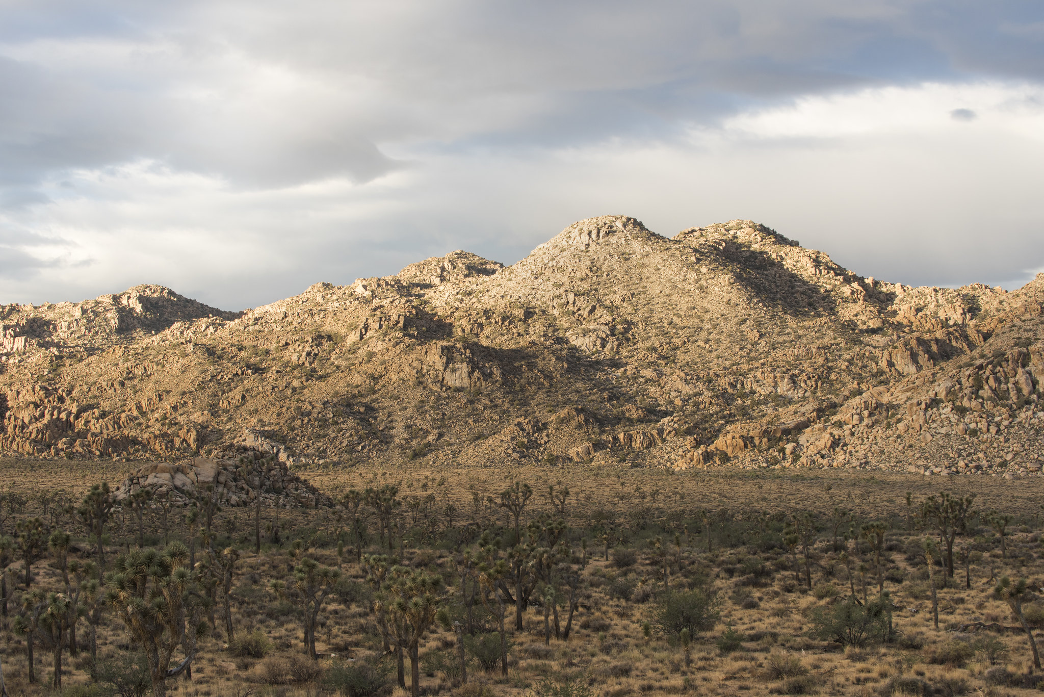
Minerva Hoyt (Minerva Hoyt Trail)
~6 min drive
The Minerva Hoyt Trail is an out-and-back hike to the Hidden Valley picnic area. It is 3 miles roundtrip with 100 feet of elevation gain. From the parking lot, the trail follows an old road before it takes a sharp right towards Hidden Valley. The hike goes through a valley of…

Cap Rock
~7 min drive
<p>Cap Rock is a popular rock formation in the central part of Joshua Tree National Park. Located near the north end of Keys View Road near Park Boulevard, Cap Rock is an easy to reach location. In addition to the unique rock formation, Cap Rock offers a picnic area with grill…
Indian Cove Trailhead
~7 min drive
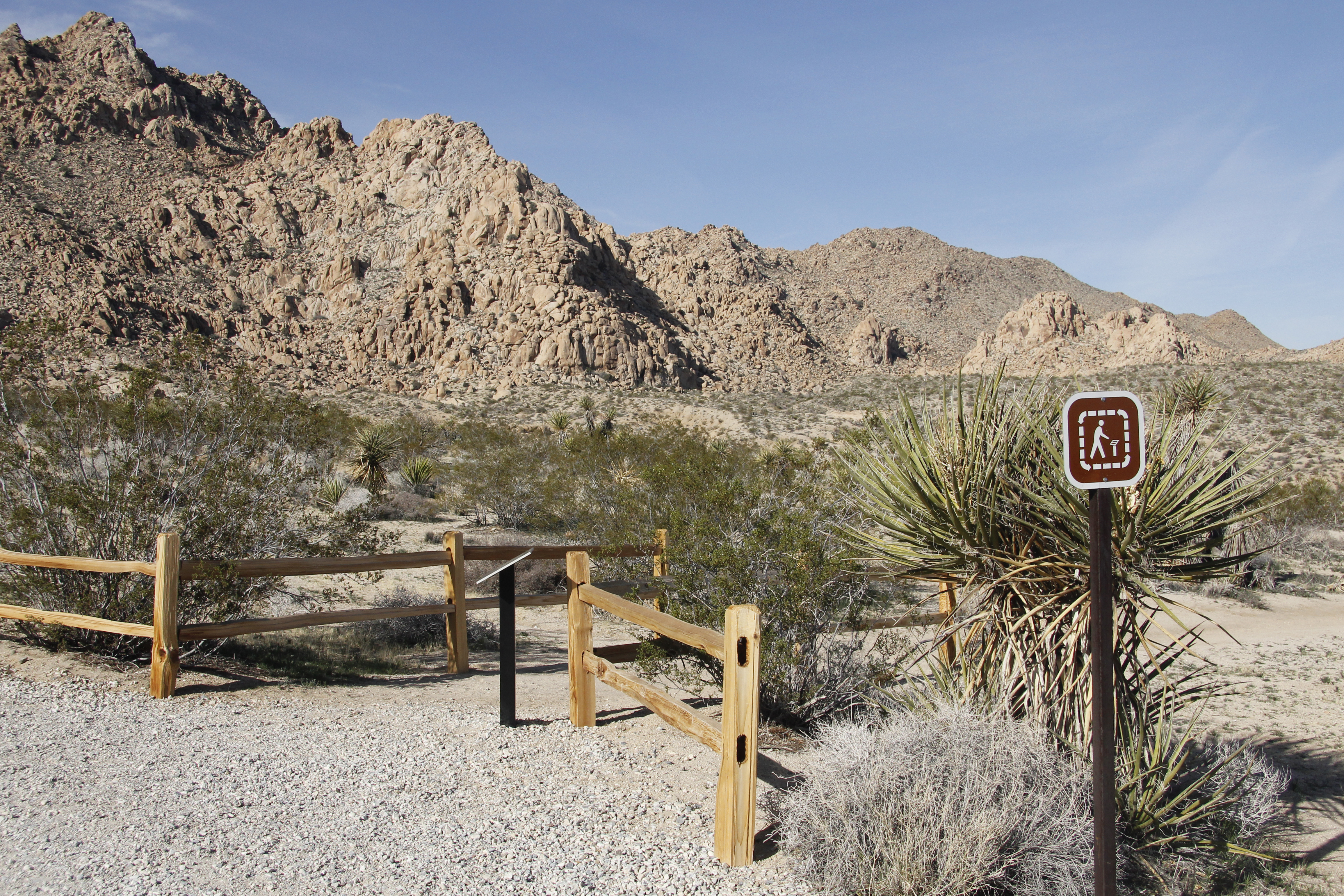
<p>The Indian Cove Nature Trail Trailhead in located in Indian Cove in the northern section of the park. Beginning to the west of the Indian Cove Campground, this trailhead provides access to an easy .6 mile loop with minimal elevation gain and some steps along the way. Along…
Ryan Mountain Trailhead
~7 min drive
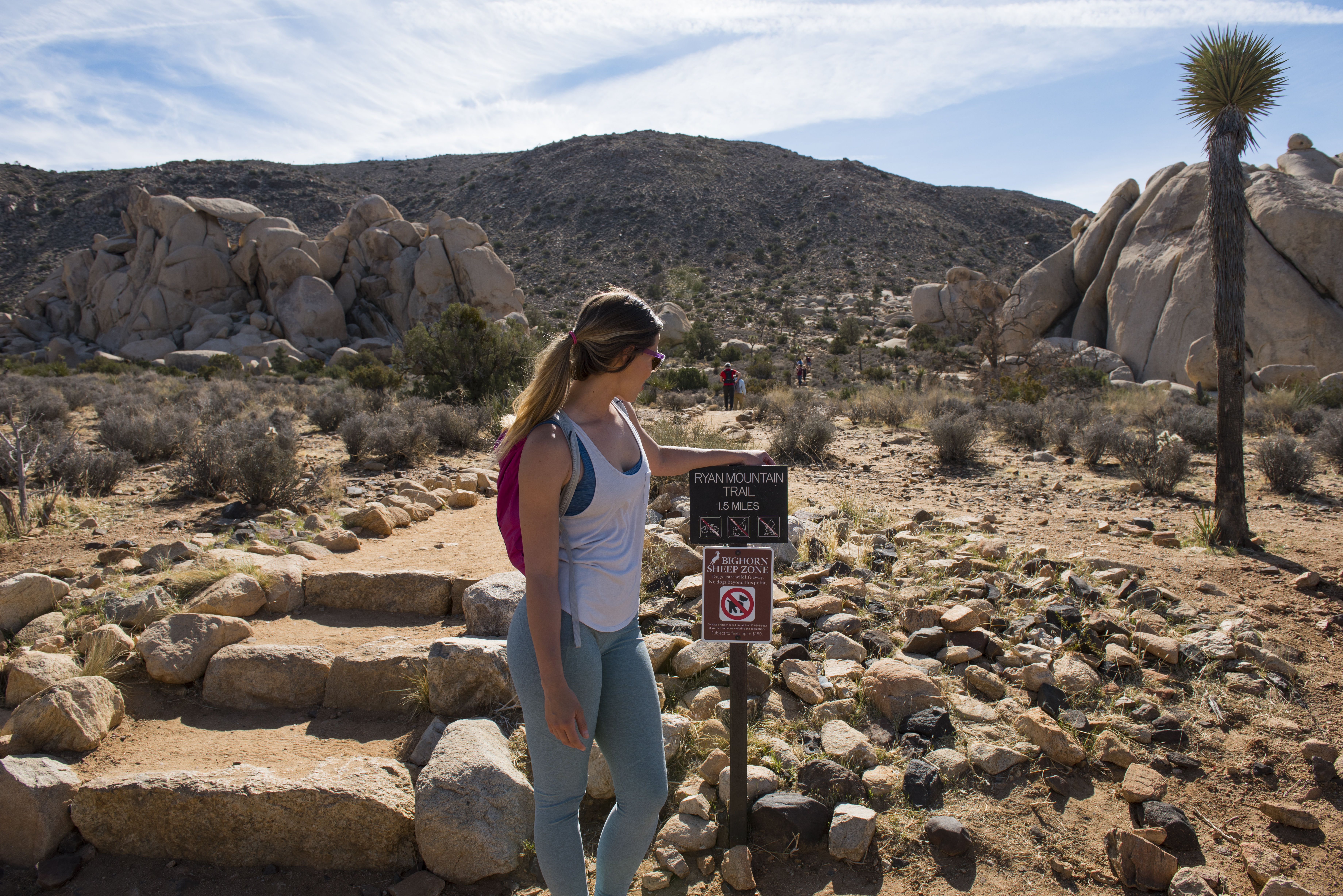
<p paraeid="{8cc8f37b-3c36-45c6-83d6-94e72c114c11}{25}" paraid="396559091">Ryan Mountain is a 3-mile (round trip) out-and-back hike with 1,050 feet of elevation gain. The summit rewards hikers with one of the best 360-degree views of any trail in the park. From the summit, you…
Ryan Ranch Trailhead
~7 min drive
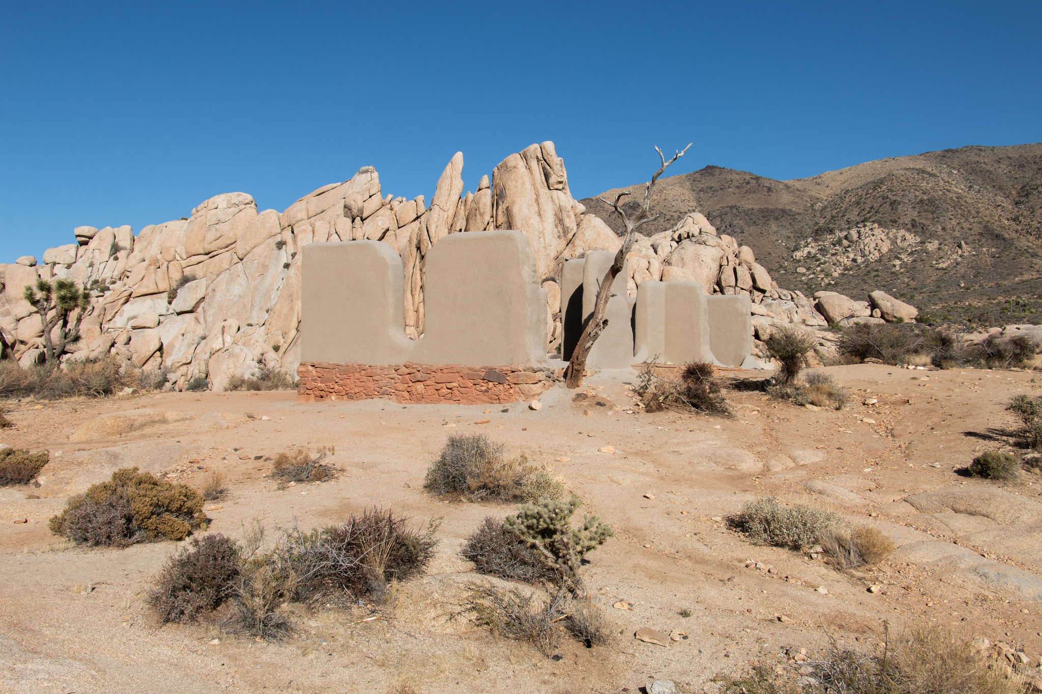
<p paraeid="{5b31bcd1-638e-43cd-9cfa-6ec1a4d5f5ae}{107}" paraid="1311873658">Ryan Ranch is a one-mile (round trip) out-and-back hike with a 135-foot elevation gain. The trail travels along an old ranch road to a historic adobe structure at the base of Ryan Mountain. Ryan Ranch…
North View Trailhead
~7 min drive
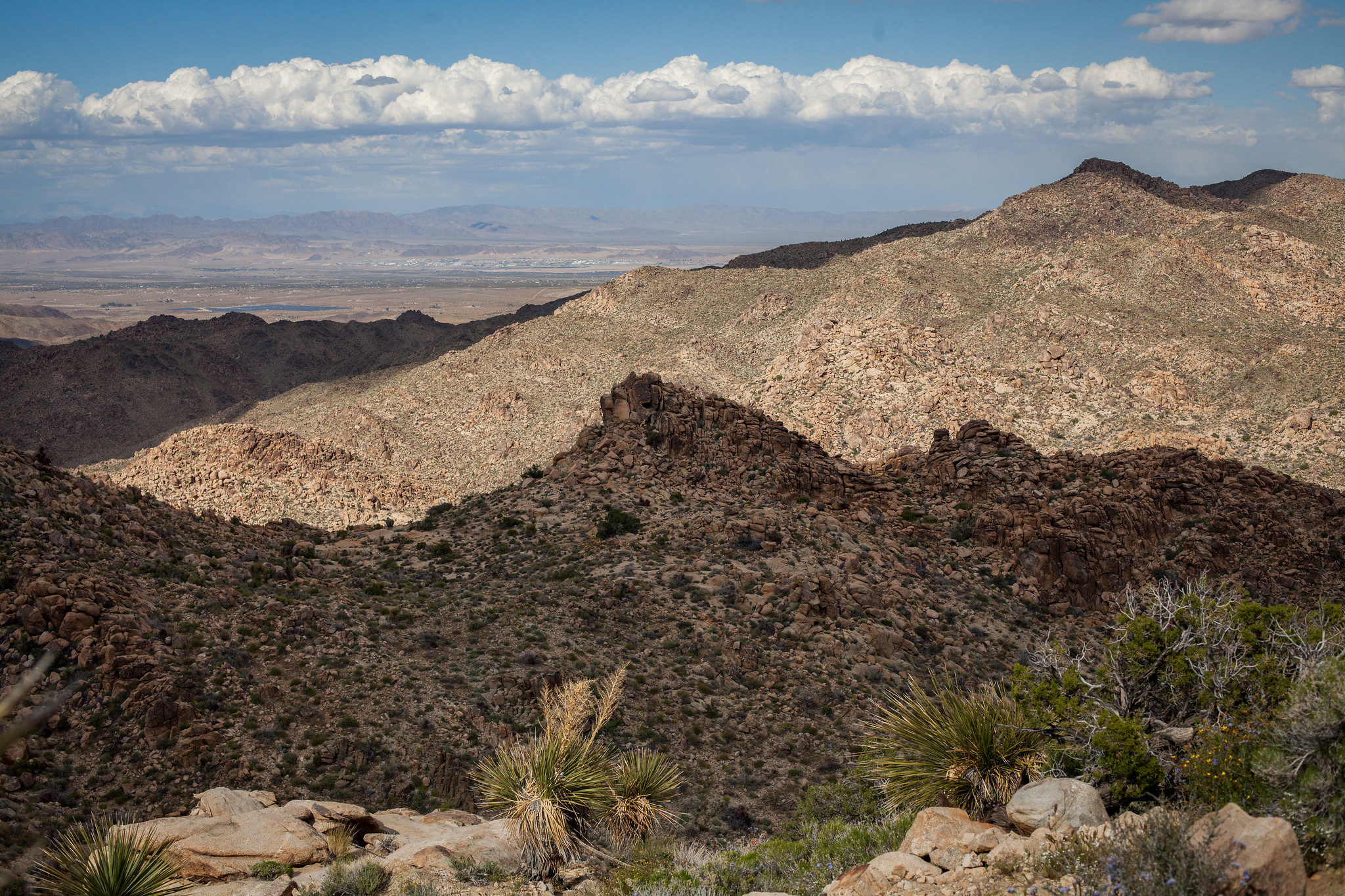
<p paraeid="{eb025746-e7d3-4aa9-8e26-13e0428b5a98}{15}" paraid="1084927375">The North View Trail is a 5.6 mile (round trip) out-and-back hike with 836 ft. of elevation gain. It can be made into a loop hike by connecting with the Maze Loop Trail or Window Loop Trail. </p> <p p…
Maze Loop Trailhead
~7 min drive
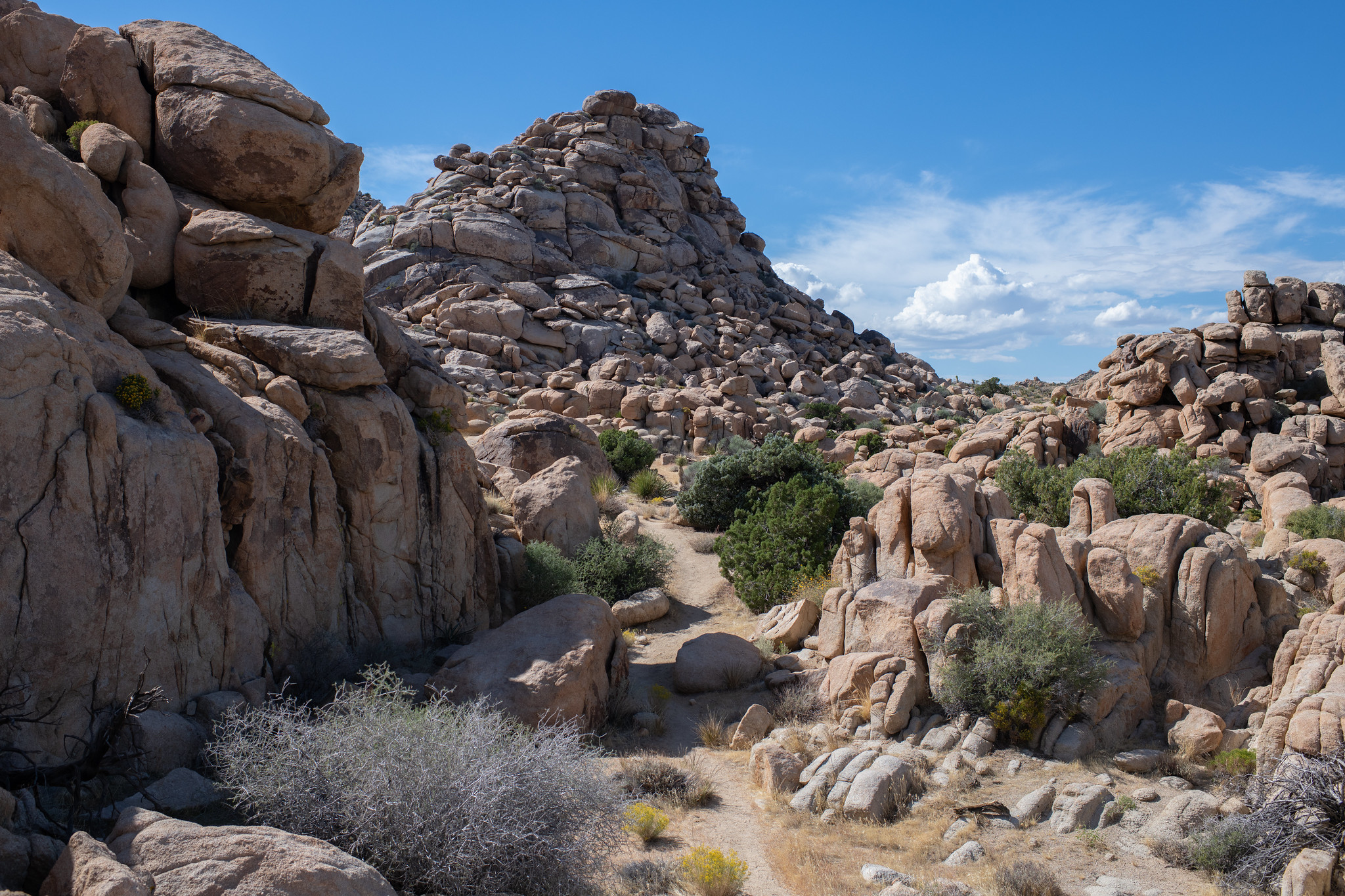
<p paraeid="{eb025746-e7d3-4aa9-8e26-13e0428b5a98}{176}" paraid="1296056381">Hike this 5-mile loop trail with an elevation gain of 400 ft. and be led through a maze of Joshua Tree National Park’s famous granite rock formations. Start the hike in a sandy wash before meandering…
Also worth it near here
