Peter Douglas Trail
 Photo: Saucytech, CC BY 2.0 (via Flickr)
- 1.9 mi
- round trip
- 2,458 ft
- climb
- 898 ft
- high point
- Out and back
- route
- Mar–Jun, Sep–Nov
- best months
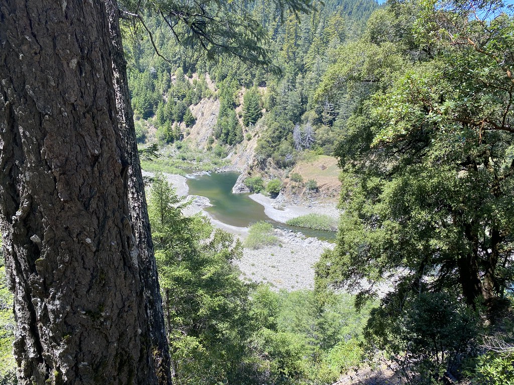
The Peter Douglas Trail is a 1.9-mile moderate hike in Shady Dell, California, on land managed by a non-governmental organization. The route is an out-and-back that covers about 3.8 miles round trip, with a total elevation gain of 2,458 feet. The climb is steady, and the steepest stretch comes at about 1.1 miles in, where the grade reaches 41%. Late spring and early fall are the most comfortable times to go. Typical averages from a nearby weather station show May highs around 72°F and October highs around 70°F, with only a handful of wet days in each month. That station sits about 400 feet lower than the trail, so temperatures on the trail run a little cooler. Hotel Gulch Trail is about 1.7 miles away, and Usal Creek offers canoeing about 2.6 miles off. Big Tree Trail and Mill Creek Loop are both within about 7 miles.
- Hotel Gulch TrailHiking1.7 mi
 Usal CreekCanoeingPhoto: Thewellman, CC0 (via Wikimedia Commons)2.6 mi
- Hollow Tree CreekCanoeing6 mi
 Big Tree TrailHikingPhoto: Dana L. Brown, CC BY-SA 2.0 (via Flickr)6.7 mi
 Mill Creek LoopHikingPhoto: California Department of Transportation "Caltrans" District 1, Public domain (via Wikimedia Commons)6.8 mi
- Indian CreekCanoeing9.8 mi
Source: Roamze catalog (indexable pages within 10 miles, PostGIS distance)
- Mill Creek LoopHiking · ~12 min drivePhoto: California Department of Transportation "Caltrans" District 1, Public domain (via Wikimedia Commons)
 Lookout Point TrailHiking · ~23 min drivePhoto: MARELBU, CC BY 3.0 (via Wikimedia Commons)
- Hotel Gulch TrailHiking · ~3 min drive
- Paradise Royale Loop TrailHiking · ~36 min drive
- Tan Oak Springs TrailHiking · ~23 min drivePhoto: MARELBU, CC BY 3.0 (via Wikimedia Commons)
 Grove Interpretive TrailHiking · ~24 min drivePhoto: lamblukas, CC BY 2.0 (via Flickr)
- Pacific Rim TrailHiking · ~34 min drive
- Rattlesnake Ridge TrailHiking · ~49 min drive
 Durphy Creek TrailHiking · ~23 min drivePhoto: lamblukas, CC BY 2.0 (via Flickr)
- Woodland TrailHiking · ~24 min drivePhoto: MARELBU, CC BY 3.0 (via Wikimedia Commons)
Best time to visit Peter Douglas Trail
Best months: March–June and September–November. Best months have typical highs of 55–85 °F, lows of 30 °F or warmer (32 °F where the station doesn't record snow), at most one snowy day and no more than 12 wet days.
Jan
50° / 39°
16 wet
Feb
53° / 40°
14 wet
Mar
59° / 41°
12 wet
Apr
64° / 42°
9 wet
May
72° / 47°
6 wet
Jun
77° / 51°
2 wet
Jul
86° / 54°
0 wet
Aug
86° / 54°
0 wet
Sep
83° / 50°
1 wet
Oct
70° / 45°
5 wet
Nov
55° / 41°
12 wet
Dec
49° / 38°
14 wet
Typical high / low (°F) and days with rain or snow, 1991–2020. Measured at Richardson Gr Sp, CA, 14.1 mi away at 503 ft. Source: NOAA NCEI U.S. Climate Normals 1991–2020.
Map and trail data © OpenStreetMap contributors
