Loading…

Free — you'll pick up right here.
Watch this trail
Sign up to watch it — saving subscribes you to gate, closure and report changes.
California
80 ft
Gain
We won't guess. Here is exactly what we do and don't know.
What we do know
Inside Redwood National Park
National Park unit boundary is mapped — agency alerts for it feed this page automatically.
Boundary data
What's missing
No access route mapped
We don't yet know which road reaches this trailhead, so we can't tell you if it's gated.
Nobody's filed a report here yet — be the first.
Why you'll love it
Coastal Trail: DeMartin
AI-suggested draft · review before you go
No permit or access details on file for this trail — check with the local land manager before you go.
<strong>Location</strong>: Del Norte Coast Redwoods State Park and Redwood National Park. <br /> <strong>Trailhead</strong>: Marked north trailhead is off Hwy 101 at mile marker 15.6. Look for signs marked CT. Marked south trailhead is at Hwy 101 mile marker 12.8. If you plan to access the trail from the south, park at the Wilson Creek picnic area and proceed cautiously across Hwy 101.<br /> <strong>Mileage</strong>: 6<br /> <strong>Difficulty Level</strong>: Moderate, some steep grades and switchbacks<br /> <strong>Dogs</strong>: No<br /> <strong>Bicycles:</strong> No<br /> <strong>Horses:</strong> No<br /> <br /> This hike travels through grand old-growth Sitka spruce, western hemlock, Douglas-fir, and redwoods. This hike can be done as a day trip, or get a backcountry camping permit to stay at one of 10 <a href="https://www.nps.gov/redw/planyourvisit/backcountry.htm">backcountry</a> sites (with toilets and fire rings). Descend to prairie bald spots and sweeping ocean panoramas. With all the berries, look out for bears!
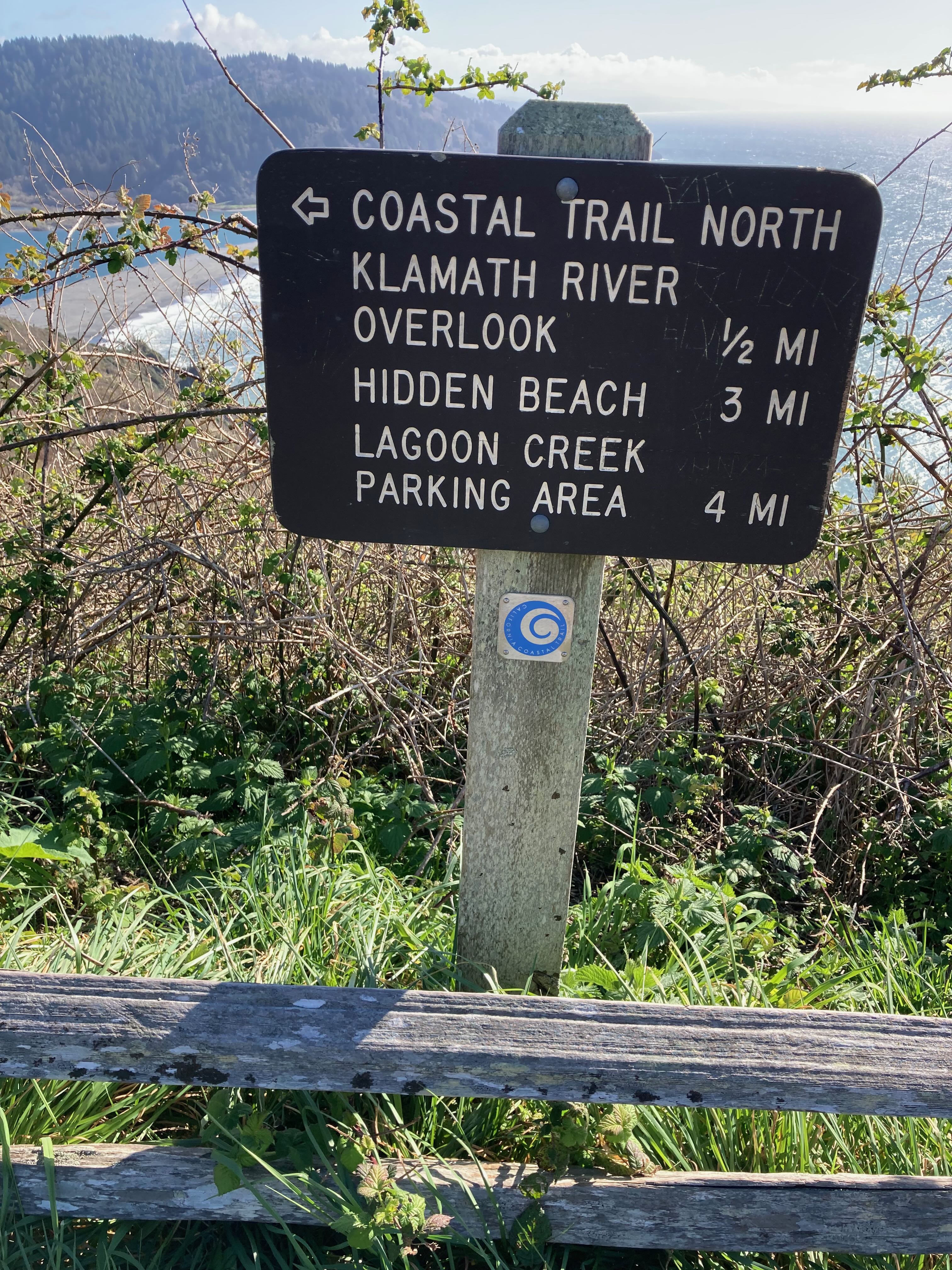
Coastal Trail: Klamath
~0 min drive
<strong>Location</strong>: Redwood National Park<br /> <strong>Trailhead</strong>: Marked north trailhead begins at Wilson Creek Picnic Area off Hwy 101. Marked south trailhead begins at the Klamath River Overlook on Requa Road.<br /> <strong>Mileage</strong>: 5.5<br /> <stron…
Little Bald Hills
~17 min drive
Challenging 10.26-mile alpine trek with 4,377 ft gain and panoramic summit views.
Redwood Flat
~18 min drive
Easy 1-mile redwood forest walk with minimal elevation gain.
French Hill
~31 min drive
Moderate 5.44-mile foothill climb with 2,423 ft elevation gain.
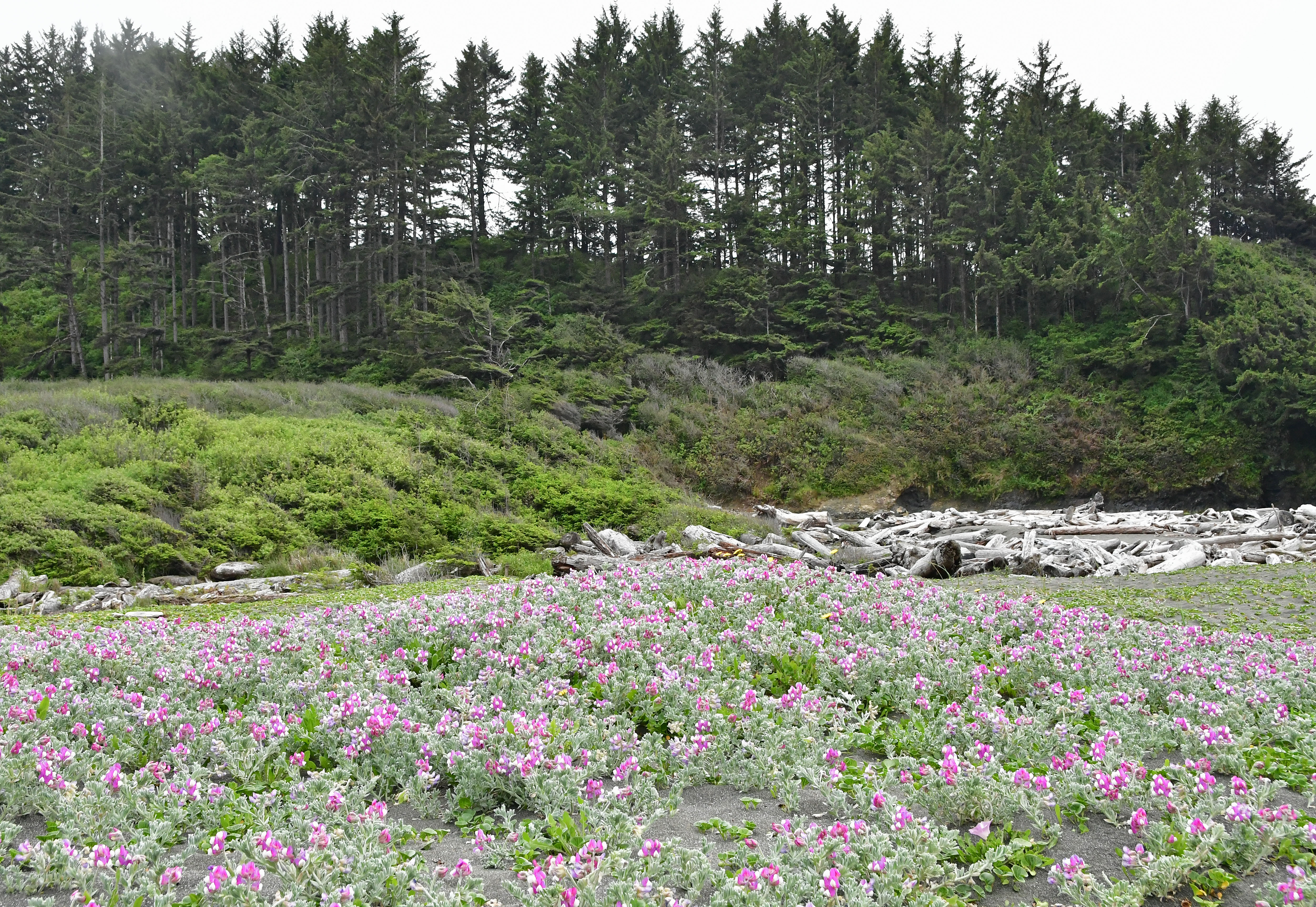
Yurok Loop Trail
~2 min drive
Take a break from driving HWY 101, and take a short walk along the coast and see crashing waves, piles of driftwood, and gaze across the parks' protected marine areas. Keep you eyes peeled for offshore wildlife. <br /> <br /> This trail is located at the west end of <a href="h…
Old South Kelsey
~20 min drive
Strenuous 15.8-mile backcountry trail with 2,396 ft elevation gain.
Paradise
~19 min drive
Easy 2.14-mile trail near Paradise with minimal elevation gain.
East Fork Blue Creek
~35 min drive
Moderate creek-side hike with 696 ft gain near Blue Creek drainage.
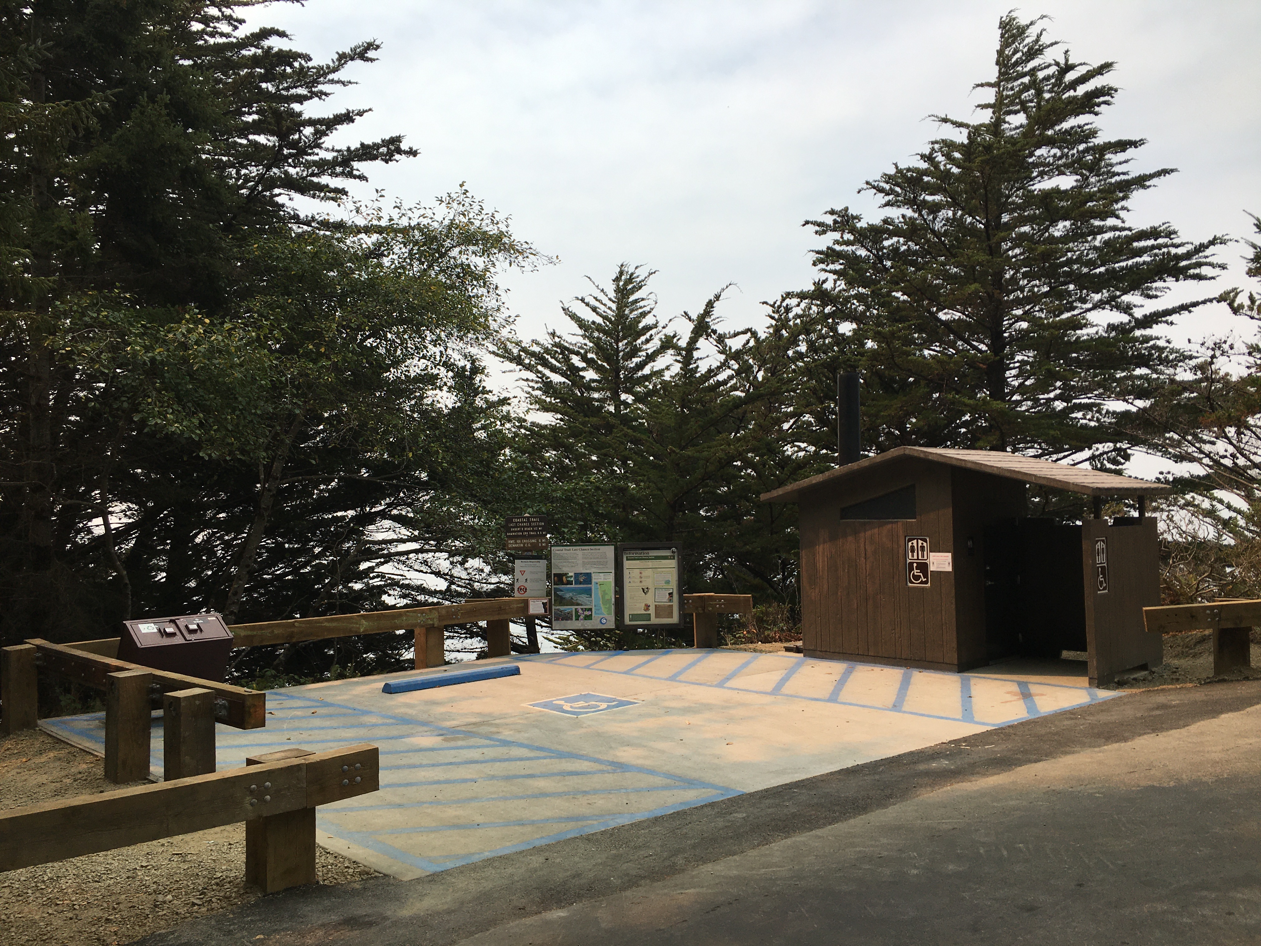
Coastal Trail: Last Chance Grade (North)
~13 min drive
This trailhead is used mostly by hikers going to <a href="https://www.nps.gov/places/endertsbeach.htm">Enderts Beach</a>. Additionally, the trail continues south for 13 miles to the Damnation Creek Trailhead - and beyond.<br /> <br /> This section of the California Coastal Tra…
Craigs Creek Trail
~23 min drive
Moderate 7.45-mile creek-side hike with 2,304 ft elevation gain.