Clear Creek
- 7.3 mi
- round trip
- 4,082 ft
- climb
- 7,374 ft
- high point
- Out and back
- route
Caution today
Agency alerts are in effect for this area; weather is good · USFS, OpenWeather · checked 10 h ago
Is CLEAR CREEK open right now?
Closure in the area
There's a closure order in Sequoia National Forest. It doesn't name CLEAR CREEK, so check the source for the area it covers (2 listed).
Tule River Glass Container Prohibition Area
Agency closure covering Sequoia National Forest · Order 0513-26-02 · USFS · Sequoia National Forest
Trail of 100 Giants Boardwalk and Area Closure
Agency closure covering Sequoia National Forest · Order 0513-26-03 · USFS · Sequoia National Forest
PUBLIC NUDITY PROHIBITION - Sequoia National Forest
Agency alert covering Sequoia National Forest · Order 0513-26-06 · USFS · Sequoia National Forest
Chico Flat Dispersed Camping Area Prohibition 26-27
Agency alert covering Sequoia National Forest · Order 0513-26-09 · USFS · Sequoia National Forest
Wildlife Alert - BEARS
Agency alert covering Sequoia National Forest · USFS · Sequoia National Forest
As of · Source: USFS · Sequoia National Forest. Agencies don't list every closure — check before you go.
Clear Creek is a hard hike in California's Sequoia National Forest, within the Kern River Ranger District. The route is an out-and-back of about 14.5 miles, with a total elevation gain of 4,082 feet. The climb is front-loaded, and the steepest stretch comes at about 4.7 miles, where the grade reaches 26 percent. The trail starts at 3,870 feet and reaches a high point of 7,374 feet. The trip takes about seven hours. Plan for a long day with a significant climb, and expect the most difficult part of the route to come early on. The Clear Creek Trail lies about 1.9 miles away, and the Bald Eagle Peak climbing area is about 2 miles off. For an overnight base, Hobo Campground and Sandy Flat are both about 4.8 miles away.
- Clear Creek TrailHiking1.9 mi
- Bald Eagle PeakRock climbing2 mi
- Solomon Trail (TR 46)Hiking3.8 mi
- Couger TrailHiking4 mi
- Hobo CampgroundCamping4.8 mi
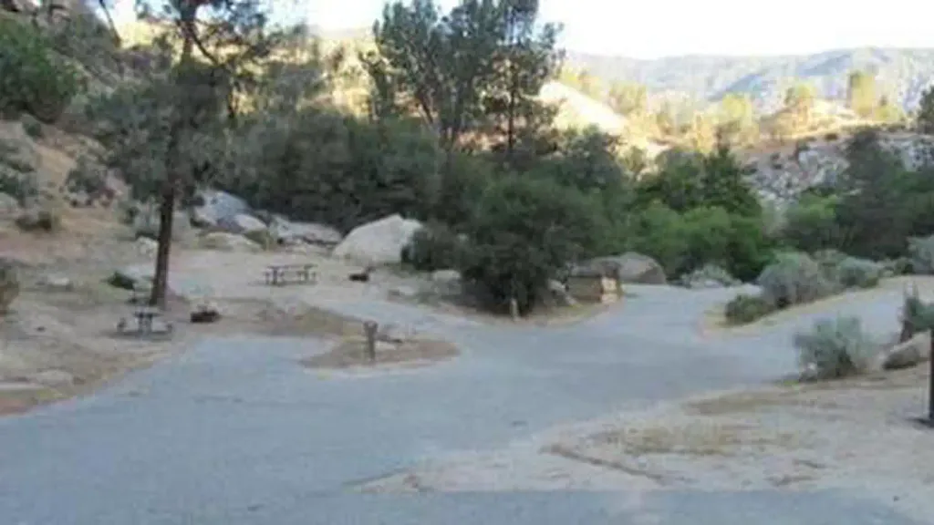 Sandy FlatCampingPhoto: Recreation.gov (RIDB) / public domain4.8 mi
- Launch 19 Boating SiteLake fishing9 mi
- Old IsabellaLake fishing9.5 mi
Source: Roamze catalog (indexable pages within 10 miles, PostGIS distance)
 Hobo FishingHiking · ~8 min drivePhoto: waterarchives, CC BY-SA 2.0 (via Flickr)
 Remington Ridge TrailHiking · ~10 min drivePhoto: daveynin, CC BY 2.0 (via Flickr)
- Solomon Trail (TR 46)Hiking · ~6 min drive
- Brown Peak Trail (TR 53)Hiking · ~10 min drive
 Lookout TrailHiking · ~14 min drivePhoto: RuggyBearLA, CC BY 2.0 (via Flickr)
 MILL CREEKHiking · ~13 min drivePhoto: Terry Lucas, CC BY 3.0 (via Wikimedia Commons)
- Bright Star TrailHiking · ~12 min drive
- Cold Springs Trail (33E68)Hiking · ~10 min drive
- Patch CornerHiking · ~15 min drivePhoto: Terry Lucas, CC BY 3.0 (via Wikimedia Commons)
- LIEBEL PEAKHiking · ~7 min drive
