Couger Trail
- 0.8 mi
- round trip
- 388 ft
- climb
- 6,967 ft
- high point
- Out and back
- route
Is Couger Trail open right now?
Closure in the area
There's a closure order in Sequoia National Forest. It doesn't name Couger Trail, so check the source for the area it covers (2 listed).
Tule River Glass Container Prohibition Area
Agency closure covering Sequoia National Forest · Order 0513-26-02 · USFS · Sequoia National Forest
Trail of 100 Giants Boardwalk and Area Closure
Agency closure covering Sequoia National Forest · Order 0513-26-03 · USFS · Sequoia National Forest
PUBLIC NUDITY PROHIBITION - Sequoia National Forest
Agency alert covering Sequoia National Forest · Order 0513-26-06 · USFS · Sequoia National Forest
Chico Flat Dispersed Camping Area Prohibition 26-27
Agency alert covering Sequoia National Forest · Order 0513-26-09 · USFS · Sequoia National Forest
Wildlife Alert - BEARS
Agency alert covering Sequoia National Forest · USFS · Sequoia National Forest
As of · Source: USFS · Sequoia National Forest. Agencies don't list every closure — check before you go.
Couger Trail is a short, easy out-and-back hike in the Kern River Ranger District of Sequoia National Forest in California. The trail is about 1.5 miles long, with a total elevation gain of 388 feet, and it starts at roughly 6,810 feet, reaching a high point of about 6,967 feet before returning to the starting elevation. The climb is gentle overall, with the steepest stretch coming at about 0.39 miles in, where the grade reaches 16 percent. The trip takes about half an hour, so it works well as a quick outing or a warm-up before heading to other trails in the area. Several other routes lie within a few miles. Solomon Trail (TR 46) is about 1.1 miles away, and Brown Peak Trail (TR 53) is about 1.6 miles away. Clear Creek Trail (33E45) and Cold Springs Trail (33E68) are both within about 2.4 miles. For an overnight stay, Breckenridge campground is about 8.2 miles away.
- Solomon Trail (TR 46)Hiking1.1 mi
- Brown Peak Trail (TR 53)Hiking1.6 mi
- Clear Creek Trail (33E45)Hiking2.2 mi
- Cold Springs Trail (33E68)Hiking2.4 mi
- Bald Eagle PeakRock climbing5.5 mi
- BreckenridgeCamping8.2 mi
- Hobo CampgroundCamping8.7 mi
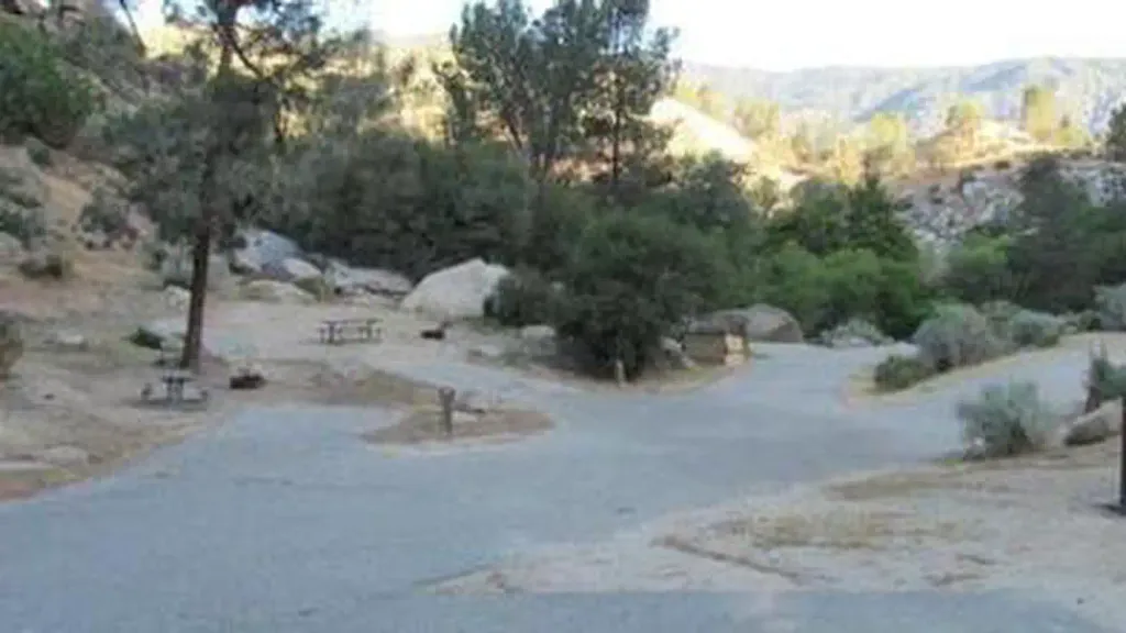 Sandy FlatCampingPhoto: Recreation.gov (RIDB) / public domain8.8 mi
Source: Roamze catalog (indexable pages within 10 miles, PostGIS distance)
 Lookout TrailHiking · ~8 min drivePhoto: RuggyBearLA, CC BY 2.0 (via Flickr)
- Twisty Trail (TR 41)Hiking · ~10 min drivePhoto: RuggyBearLA, CC BY 2.0 (via Flickr)
 Landers Meadow TrailHiking · ~11 min drivePhoto: RuggyBearLA, CC BY 2.0 (via Flickr)
 Remington Ridge TrailHiking · ~17 min drivePhoto: daveynin, CC BY 2.0 (via Flickr)
- Easy Creek Trail (TR 52)Hiking · ~11 min drivePhoto: RuggyBearLA, CC BY 2.0 (via Flickr)
- Brown Peak Trail (TR 53)Hiking · ~4 min drive
- Solomon Trail (TR 46)Hiking · ~2 min drive
- Brown Peak Trail (TR 53)Hiking · ~3 min drive
 Hobo FishingHiking · ~15 min drivePhoto: waterarchives, CC BY-SA 2.0 (via Flickr)
- Cold Springs Trail (33E68)Hiking · ~4 min drive
Map and trail data © OpenStreetMap contributors
