Free — you'll pick up right here.
Watch this trail
Sign up to watch it — saving subscribes you to gate, closure and report changes.
California
Chumash Indian Trail (Primitive)
1.4 mi
Distance
1,245 ft
Gain
29 min
Time
No verdict for this trail
We won't guess. Here is exactly what we do and don't know.
What we do know
Inside Santa Monica Mountains National Recreation Area
National Park unit boundary is mapped — agency alerts for it feed this page automatically.
Boundary data
What's missing
No access route mapped
We don't yet know which road reaches this trailhead, so we can't tell you if it's gated.
Nobody's filed a report here yet — be the first.
Why you'll love it
Here's your day, mapped
Chumash Indian Trail (Primitive)
AI-suggested draft · review before you go
Meals
Gear for the day
Elevation & route
- Distance
- 1.4 mi
- Elevation gain
- 1,245 ft
- Elevation loss
- 1,245 ft
- Highest point
- 1,251 ft
- Lowest point
- 93 ft
Photos
Directions & GPX
Permits & access
- Managing agency
- National Park Service
About this trail
Chumash Indian Trail (Primitive) is a 2.82-mile out-and-back trail in California with 1,245 feet of elevation gain and loss. The route reaches a maximum elevation of 1,251 feet.
Add to a trip & share
Keep exploring — more trails worth the drive
 Photo: Robert Ashworth from Bellingham, WA., USA, CC BY 2.0 (via Wikimedia Commons)
Canyon View Trail
~3 min drive
2.66-mile out-and-back trail in California with 1,956 ft elevation gain
Photo: Robert Ashworth from Bellingham, WA., USA, CC BY 2.0 (via Wikimedia Commons)Ocean View Trail
~3 min drive
2.12-mile out-and-back trail in California with 994 ft gain/loss
Zuma and Trancas Canyons
~3 min drive
Zuma! It is derived from the Chumash word for “abundance.” Certainly, Zuma and neighboring Trancas Canyons satisfy this description. The perennial streams running through these canyons give rise to an abundance of animal and plant life. These same natural resources have influe…
Zuma Ridge Trail
~2 min drive
10.8-mile out-and-back hike in California with 4,291 ft elevation gain
Zuma Loop Trail
~2 min drive
2.18-mile out-and-back trail in California with 1,038 ft elevation gain
 Photo: Giuseppe Milo, CC BY 3.0 (via Wikimedia Commons)
West Meadow Trail
~5 min drive
0.82-mile out-and-back hike in California with 135 ft elevation gain.
Rocky Oaks
~6 min drive
Hidden amid houses, roads, and other signs of modern life, Rocky Oaks features a seasonal human made pond and a variety of plant communities that provide habitat for wildlife. While taking a gentle hike along our loop trails, enjoy vistas of the pond. Once used as a watering…
Backbone Trail - Zuma Canyon
~4 min drive
5.06-mile out-and-back trail in California with 1,675 ft gain
Photo: Giuseppe Milo, CC BY 3.0 (via Wikimedia Commons)Clyde Canyon Trail
~5 min drive
1.24-mile out-and-back trail in California with 592 ft elevation gain.
Arroyo Sequit
~8 min drive
Accessed from Mulholland Highway, Arroyo Sequit features an intermittent stream, a loop trail, and meadows that are blanketed with wildflowers in the Spring. Arroyo Sequit is a small site that may be easy to overlook, but provides for intimate, relaxing strolls. It is also a f…
Also worth it near here
Camp Summertime
~6 min drive
 Photo: sergei.gussev, CC BY 2.0 (via Flickr)
Point Dume
~6 min drive
 Photo: USMARINE0311 from California, United States, CC BY-SA 2.0 (via Wikimedia Commons)
Castro Peak
~6 min drive
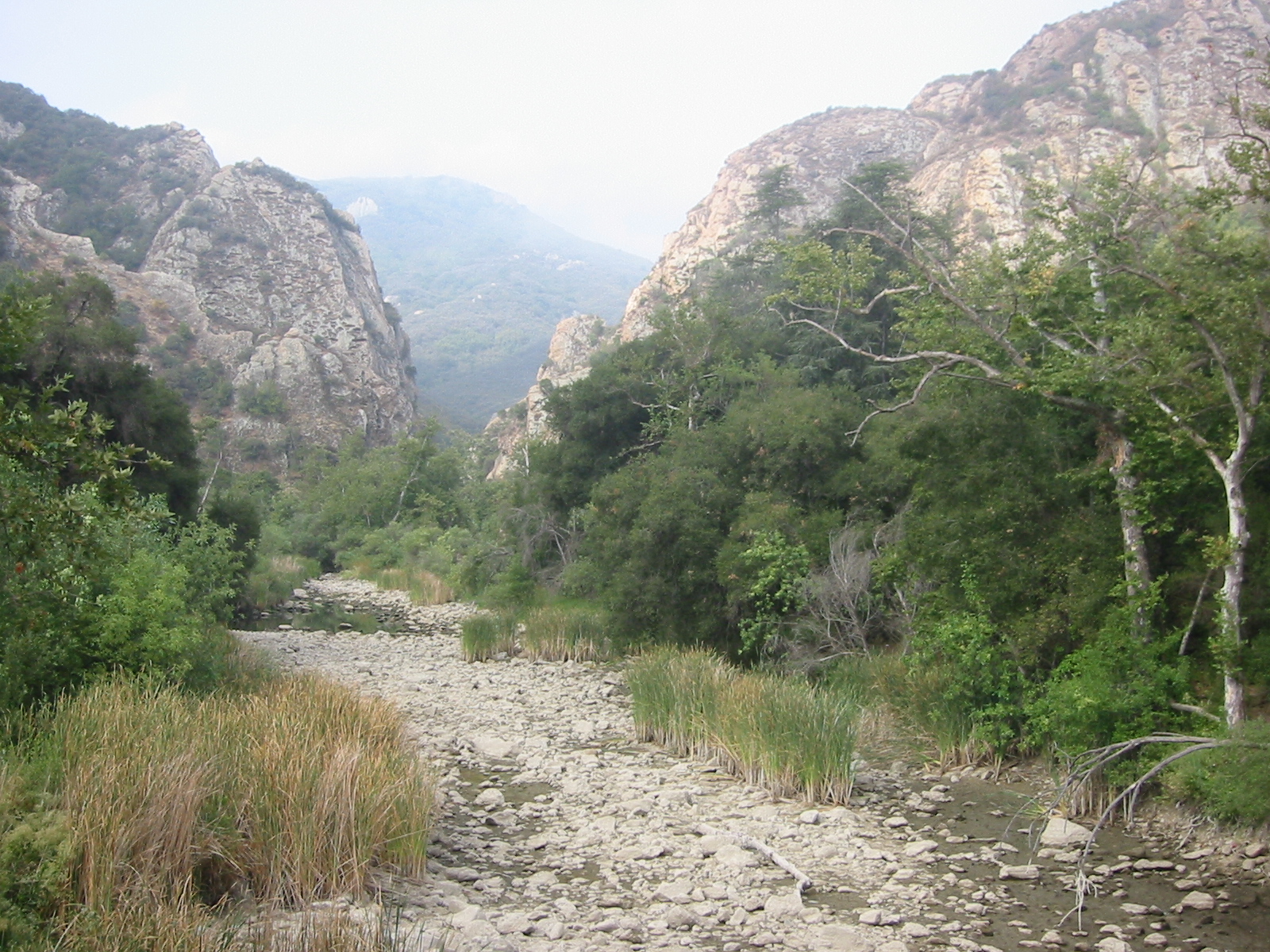 Photo: Tobin/tobo, Rochester, NY, USA, CC BY-SA 2.0 (via Wikimedia Commons)
Malibu Creek
~11 min drive
Map and trail data © OpenStreetMap contributors
