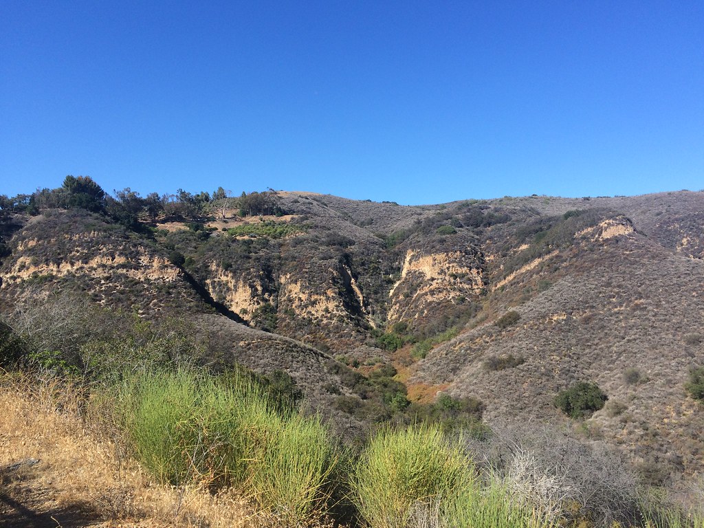
Dume Canyon Motorway
California
Free — you'll pick up right here.
1.4 mi
Distance
493 ft
Gain
Conditions: Clear
for hike, todayWeather is good
1 factor · 1 source
Observed 2 h ago
clear: Weather
Clear, high 83°F / low 60°F, 0% precip — 94/100 for hike
OpenWeather2 h ago
Been out here in the last few days? One report keeps this current for everyone.
Why you'll love it
Here's your day, mapped
Dume Canyon Motorway
Suggested plan · check conditions before you go
Meals
Gear for the day
Elevation & route
- Distance
- 1.4 mi
- Elevation gain
- 493 ft
Photos
Directions & GPX
Permits & access
- Managing agency
- National Park Service
About this trail
Dume Canyon Motorway is a 2.72-mile out-and-back trail in California managed by the National Park Service. The route gains 493 feet of elevation.
Add to a trip & share
Keep exploring — more trails worth the drive
Photo: sergei.gussev, CC BY 2.0 (via Flickr)Zuma Canyon Connector
~1 min drive
1.48-mile out-and-back trail in California with 621 ft elevation gain/loss
 Photo: Robert Ashworth from Bellingham, WA., USA, CC BY 2.0 (via Wikimedia Commons)
Canyon View Trail
~2 min drive
2.66-mile out-and-back trail in California with 1,956 ft elevation gain
Zuma and Trancas Canyons
~3 min drive
Zuma! It is derived from the Chumash word for “abundance.” Certainly, Zuma and neighboring Trancas Canyons satisfy this description. The perennial streams running through these canyons give rise to an abundance of animal and plant life. These same natural resources have influe…
Zuma Ridge Trail
~3 min drive
10.8-mile out-and-back hike in California with 4,291 ft elevation gain
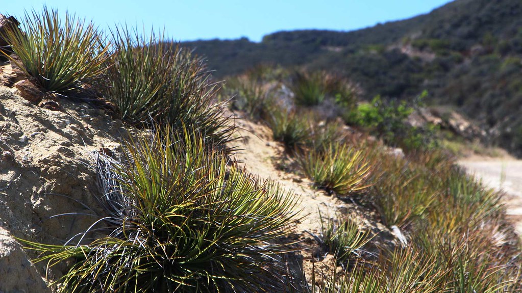 Photo: Maximum Panda, CC BY 2.0 (via Flickr)
Zuma Canyon Trail
~2 min drive
2.74-mile out-and-back trail in California with 337 ft gain/loss.
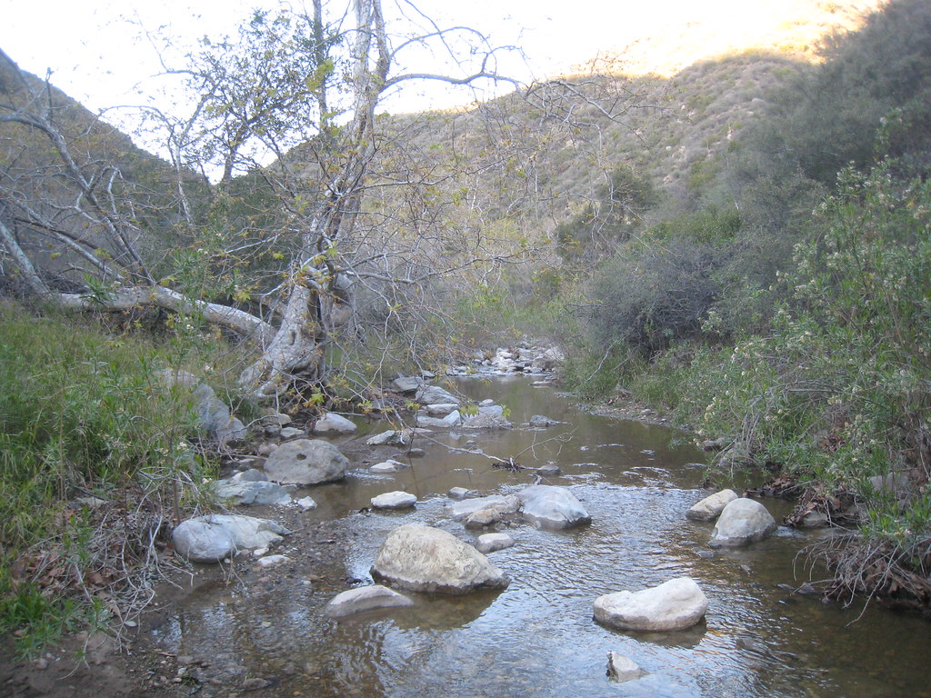 Photo: cm195902, CC BY 2.0 (via Flickr)
Zuma Loop Trail
~2 min drive
2.18-mile out-and-back trail in California with 1,038 ft elevation gain
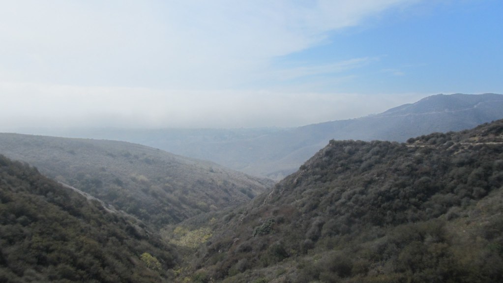 Photo: b r e n t, CC BY 2.0 (via Flickr)
Zuma Chute Trail
~3 min drive
0.94-mile out-and-back hike with 239 ft gain in California.
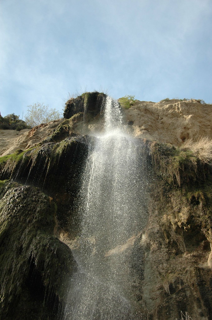 Photo: rmahle, CC BY 2.0 (via Flickr)
Ava and Cole Weintraub Trail
~2 min drive
0.72-mile out-and-back hike in California with 146 ft of elevation gain.
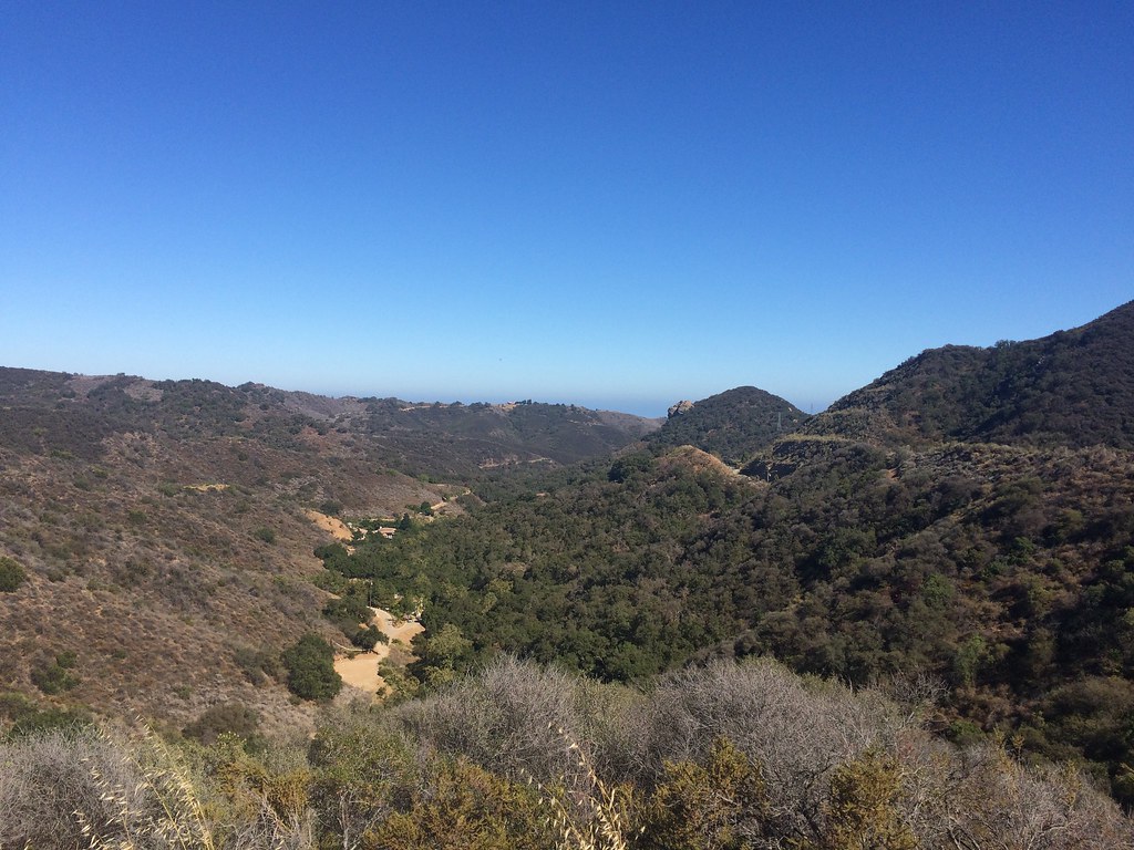 Photo: sergei.gussev, CC BY 2.0 (via Flickr)
Backbone Trail - Newton Canyon
~3 min drive
4.48-mile out-and-back trail in California with 1,911 ft elevation gain and loss.
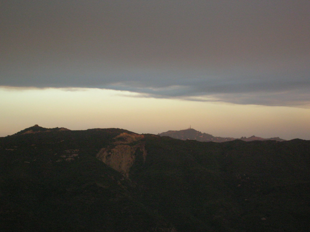 Photo: cho_kettie, CC BY 2.0 (via Flickr)
Bulldog Motorway
~4 min drive
6.7-mile out-and-back trail in California with 1,625 ft gain.


