Cerro Alto Upper Trail
- 0.8 mi
- round trip
- 1,361 ft
- climb
- 2,440 ft
- high point
- Out and back
- route
- Oct–May
- best months
Is Cerro Alto Upper Trail open right now?
Alert in the area
The Forest Service lists 3 alerts for Los Padres National Forest.
Los Padres Fire Use and Firearm Restrictions
Agency alert covering Los Padres National Forest · Order 05-07-00-26-05 · USFS · Los Padres National Forest
Santa Barbara Front Country Fire Use Restrictions
Agency alert covering Los Padres National Forest · Order 05-07-5406-01 · USFS · Los Padres National Forest
West Cuesta Fire Use Restrictions
Agency alert covering Santa Lucia Ranger District · Order 05-07-53-24-19 · USFS · Santa Lucia Ranger District
As of · Source: USFS · Los Padres National Forest. Agencies don't list every closure — check before you go.
Cerro Alto Upper Trail is a moderate out-and-back hike in California's Los Padres National Forest, within the Santa Lucia Ranger District. The route covers about 1.6 miles and climbs roughly 1,360 feet, from a low of about 1,635 feet to a high of about 2,440 feet. The trail is front-loaded, with the steepest stretch at about 0.55 miles in, where the grade reaches about 31 percent. Spring and fall are the most comfortable times to go. Typical averages from a nearby weather station at Paso Robles put May and October highs around 81°F, while July and August average in the low 90s. That station sits well below the trail, so temperatures on the upper part of the climb run cooler. The trail starts close to Cerro Alto campground, about 0.4 miles away, and the Ridgeline Trail and Canyon Trail are each about 0.6 miles off. For an overnight stay, Morro Bay State Park Campground lies about 7.3 miles away.
- Cerro AltoCamping0.4 mi
- Ridgeline TrailHiking0.6 mi
- AT&T TrailHiking0.6 mi
- Canyon TrailHiking0.6 mi
 Cabrillo PeakRock climbingPhoto: Mike Baird from Morro Bay, USA, CC BY 2.0 (via Wikimedia Commons)6.7 mi
- Rock LandRock climbingPhoto: Mike Baird from Morro Bay, USA, CC BY 2.0 (via Wikimedia Commons)6.8 mi
 Morro Bay State Park CampgroundCampingPhoto: Tony Webster — CC BY-SA 2.0 (via Flickr)7.3 mi
- Paso Robles CreekCanoeing8.4 mi
Source: Roamze catalog (indexable pages within 10 miles, PostGIS distance)
 Madrone TrailHiking · ~6 min drivePhoto: docentjoyce, CC BY 2.0 (via Flickr)
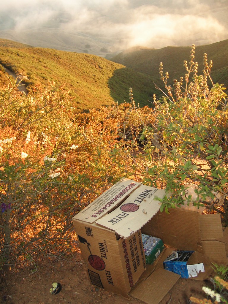 Secret TrailHiking · ~6 min drivePhoto: striatic, CC BY 2.0 (via Flickr)
- Oak Woodland Loop TrailHiking · ~6 min drivePhoto: docentjoyce, CC BY 2.0 (via Flickr)
 What TrailHiking · ~8 min drivePhoto: sloalan, Public Domain Dedication (CC0) (via Flickr)
 Dairy Creek TrailHiking · ~9 min drivePhoto: sloalan, Public Domain Dedication (CC0) (via Flickr)
 Canet TrailHiking · ~11 min drivePhoto: sloalan, Public Domain Dedication (CC0) (via Flickr)
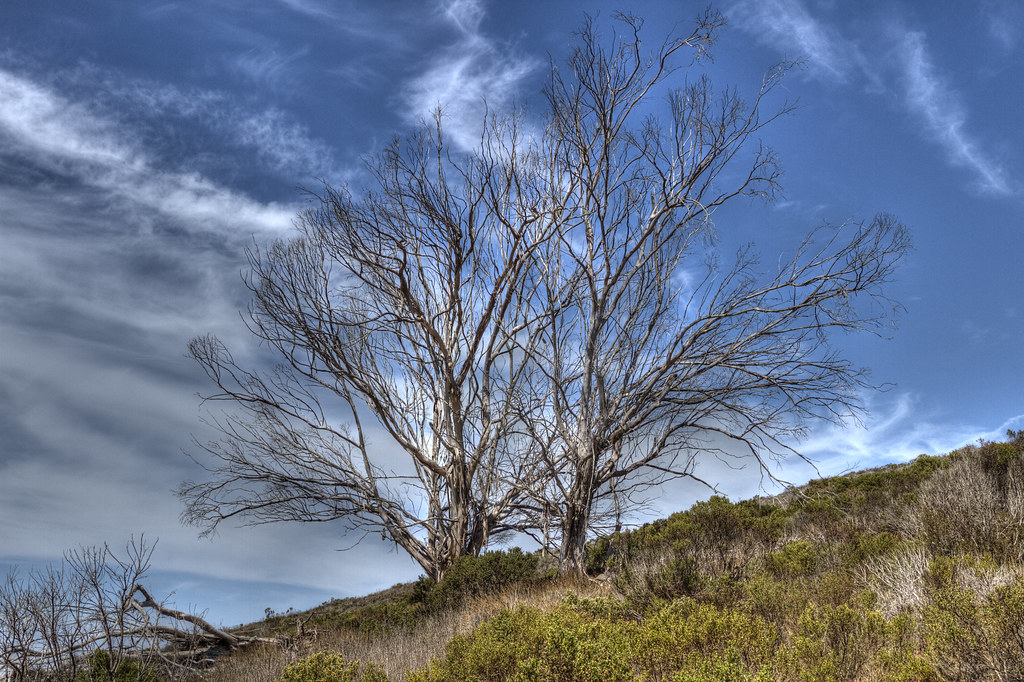 Quarry TrailHiking · ~11 min drivePhoto: Fred Moore 1947, CC BY 2.0 (via Flickr)
 Crespi TrailHiking · ~12 min drivePhoto: Gregory "Slobirdr" Smith, CC BY-SA 2.0 (via Flickr)
 Turtle Rock TrailHiking · ~11 min drivePhoto: USFWS Pacific Southwest Region, Public Domain Mark (via Flickr)
 Shooters TrailHiking · ~13 min drivePhoto: Thor Liland Larsen from San Luis Obispo, USA, CC BY 2.0 (via Wikimedia Commons)
Also worth it near here
 Hollister PeakSummit · ~10 min drivePhoto: Basar at English Wikipedia, CC BY-SA 3.0 (via Wikimedia Commons)
 El Chorro Regional Park CampgroundCamping · ~10 min drivePhoto: sloalan — CC0 1.0 (via Flickr)
- Cabrillo PeakRock climbing · ~11 min drivePhoto: Mike Baird from Morro Bay, USA, CC BY 2.0 (via Wikimedia Commons)
Best time to visit Cerro Alto Upper Trail
Best months: October–May. Best months have typical highs of 55–85 °F, lows of 30 °F or warmer (32 °F where the station doesn't record snow), at most one snowy day and no more than 12 wet days.
Jan
61° / 35°
7 wet
Feb
63° / 37°
8 wet
Mar
68° / 40°
7 wet
Apr
73° / 41°
4 wet
May
81° / 46°
2 wet
Jun
88° / 50°
1 wet
Jul
93° / 54°
0 wet
Aug
94° / 53°
0 wet
Sep
90° / 50°
1 wet
Oct
81° / 44°
2 wet
Nov
69° / 37°
4 wet
Dec
60° / 33°
7 wet
Typical high / low (°F) and days with rain or snow, 1991–2020. Measured at Paso Robles Muni Ap, CA, 18.3 mi away at 810 ft. The station sits about 1,600 ft lower than this place, so expect it a little cooler here. Source: NOAA NCEI U.S. Climate Normals 1991–2020.
Map and trail data © OpenStreetMap contributors
