Bayview Campground
Campground
Campground · 0.1 mi from the trail
 Photo: MARELBU, CC BY 3.0 (via Wikimedia Commons)
Closure in the area
There's a closure order in Lake Tahoe Basin Management Unit. It doesn't name Cascade Falls Trail, so check the source for the area it covers.
Harmful Algal Blooms
Agency closure covering Lake Tahoe Basin Management Unit · USFS · Lake Tahoe Basin Management Unit
Desolation Wilderness Food and Refuse Storage (Bear Canister) Restriction
Agency alert covering Lake Tahoe Basin Management Unit · Order 19-25-06 · USFS · Lake Tahoe Basin Management Unit
Meyers Landfill Area Closure
Agency alert covering Lake Tahoe Basin Management Unit · Order 19-25-01 · USFS · Lake Tahoe Basin Management Unit
Campfire Restrictions
Agency alert covering Lake Tahoe Basin Management Unit · Order 19-24-04 · USFS · Lake Tahoe Basin Management Unit
Camping/Overnight Stay Restriction
Agency alert covering Lake Tahoe Basin Management Unit · Order 19-24-05 · USFS · Lake Tahoe Basin Management Unit
As of · Source: USFS · Lake Tahoe Basin Management Unit. Agencies don't list every closure — check before you go.
Cascade Falls Trail is a short, easy hike in California's Lake Tahoe Basin Management Unit, managed by the Forest Service. The trail is about 1.5 miles long and rises roughly 95 feet from a low point of 6,797 feet to a high of 6,940 feet, making it an out-and-back route with a gentle climb. Summer is the most comfortable time to go. Typical averages from a nearby weather station at South Lake Tahoe show July and August highs around 80°F with only about two wet days a month, while winter highs sit near 43°F with lows in the teens. Bayview Trail and Bayview Campground both lie about 0.1 mile away, and the Rubicon Trail is about half a mile off. Climbers can find the 90 Foot Wall about a mile away.
Bayview Campground
Campground
Places © OpenStreetMap contributors
More in Sunnyside-Tahoe CityNot on Roamze yet. Their page has how to reach them.
Bayview TrailHikingPhoto: MARELBU, CC BY 3.0 (via Wikimedia Commons)0.1 mi Bayview CampgroundCampingPhoto: Rick McCharles — CC BY 2.0 (via Flickr)0.1 mi
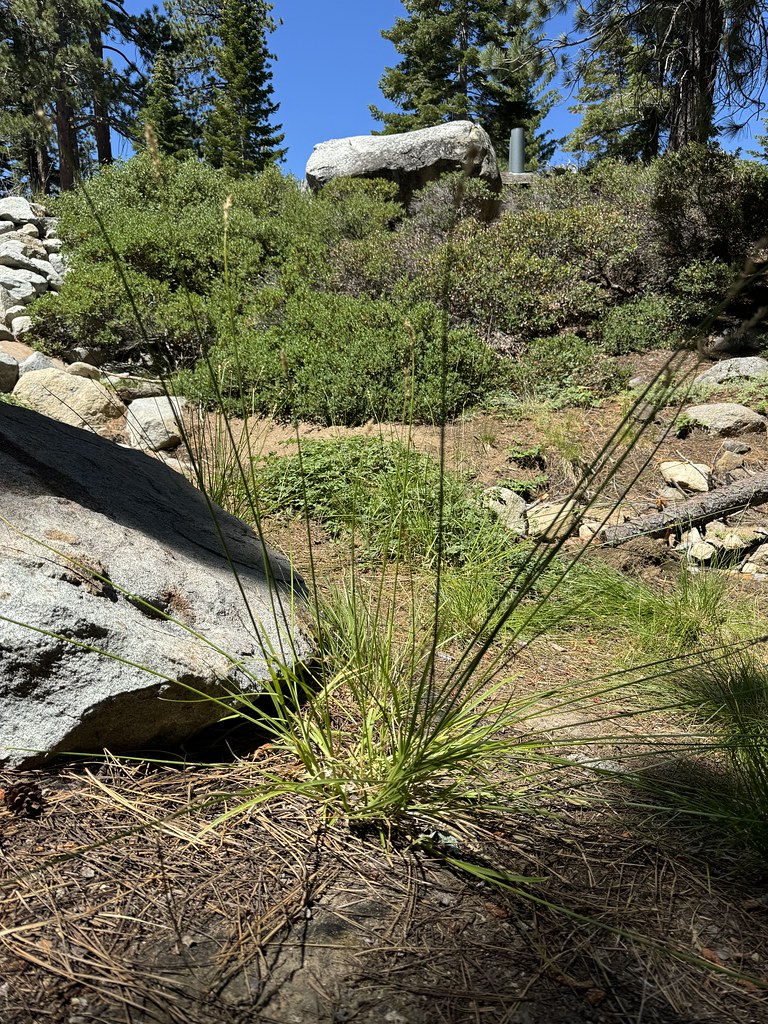 Rubicon TrailHikingPhoto: Matt Lavin, CC BY-SA 2.0 (via Flickr)0.5 mi
 Mayhem CoveRock climbingPhoto: radicalespresso, Public Domain Mark (via Flickr)1 mi
 Taylor CreekCanoeingPhoto: Schmiebel, CC BY-SA 3.0 (via Wikimedia Commons)2.6 mi
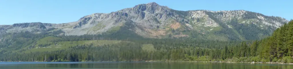 Fallen Leaf CampgroundCampingPhoto: Recreation.gov (RIDB) / public domain3.1 mi
Source: Roamze catalog (indexable pages within 10 miles, PostGIS distance)
 BAYVIEW TRAILHiking · Next doorPhoto: MARELBU, CC BY 3.0 (via Wikimedia Commons)
 EAGLE FALLS TRAILHiking · ~2 min drivePhoto: radicalespresso, Public Domain Mark (via Flickr)Eagle Falls VistaHiking · ~2 min drivePhoto: radicalespresso, Public Domain Mark (via Flickr)
 Camp Richardson Corral TrailsHiking · ~5 min drivePhoto: Ken Lund, CC BY-SA 2.0 (via Flickr)Rubicon TrailHiking · Next doorPhoto: Matt Lavin, CC BY-SA 2.0 (via Flickr)
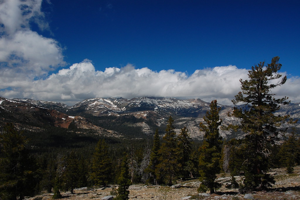 PACIFIC CREST TRAILHiking · ~7 min drivePhoto: ilya_ktsn, CC BY 2.0 (via Flickr)
 Eagle Lake TrailHiking · ~2 min drivePhoto: Adrian Farwell, CC BY 3.0 (via Wikimedia Commons)
 Pacific Crest TrailHiking · ~6 min drivePhoto: simonov, CC BY-SA 2.0 (via Flickr)
 Vikingsholm TrailHiking · ~2 min drivePhoto: radicalespresso, Public Domain Mark (via Flickr)
 Azure Lake trailHiking · ~3 min drivePhoto: Seth Tisue, CC BY-SA 2.0 (via Flickr)
Also worth it near here
Bayview CampgroundCamping · Next doorPhoto: Rick McCharles — CC BY 2.0 (via Flickr)Mayhem CoveRock climbing · ~2 min drivePhoto: radicalespresso, Public Domain Mark (via Flickr) Maggies PeaksSummit · ~2 min drivePhoto: Phreakdigital (talk · contribs), Public domain (via Wikimedia Commons)
Best months: May–September. Best months have typical highs of 55–85 °F, lows of 30 °F or warmer (32 °F where the station doesn't record snow), at most one snowy day and no more than 12 wet days.
Jan
43° / 18°
9 wet
Feb
43° / 19°
9 wet
Mar
48° / 24°
10 wet
Apr
53° / 28°
8 wet
May
62° / 33°
7 wet
Jun
72° / 38°
3 wet
Jul
80° / 43°
2 wet
Aug
80° / 41°
2 wet
Sep
73° / 35°
3 wet
Oct
62° / 29°
5 wet
Nov
51° / 23°
7 wet
Dec
43° / 18°
10 wet
Typical high / low (°F) and days with rain or snow, 1991–2020. Measured at South Lake Tahoe Ap, CA, 6.5 mi away at 6,314 ft. The station sits about 600 ft lower than this place, so expect it a little cooler here. This station doesn't record snowfall. Source: NOAA NCEI U.S. Climate Normals 1991–2020.
