Canal Trail
- 0.7 mi
- round trip
- 11 ft
- climb
- 123 ft
- high point
- Out and back
- route
- Oct–May
- best months
Canal Trail is a short, flat hike in California, about half a mile from Los Banos. The trail is an out-and-back that covers roughly 1.4 miles, and it gains about 5 feet of elevation, with a total round-trip gain of about 11 feet. The start and end point sits at about 123 feet, and the trail runs nearly flat the whole way. Spring and fall are the most comfortable times to go. Typical averages from a nearby weather station in Los Banos show April highs around 73°F and October highs around 79°F, while July and August average in the mid-90s. The trip takes about half an hour, so it works well as a quick stop close to town. For a longer outing, Birding Trail is about 8 miles away, Path of the Padres is about 9 miles away, and Wetlands Trail is also about 9 miles away.
Source: Roamze catalog (indexable pages within 10 miles, PostGIS distance)
 Lone Oak Bay TrailHiking · ~23 min drivePhoto: Zurfa, CC BY-SA 4.0 (via Wikimedia Commons)
 Spikes Peak TrailHiking · ~34 min drivePhoto: ilya_ktsn, CC BY 2.0 (via Flickr)
- Canyon Loop East TrailHiking · ~34 min drivePhoto: ilya_ktsn, CC BY 2.0 (via Flickr)
- Birding TrailHiking · ~13 min drive
- Canyon Loop West TrailHiking · ~34 min drivePhoto: ilya_ktsn, CC BY 2.0 (via Flickr)
- Path of the PadresHiking · ~16 min drive
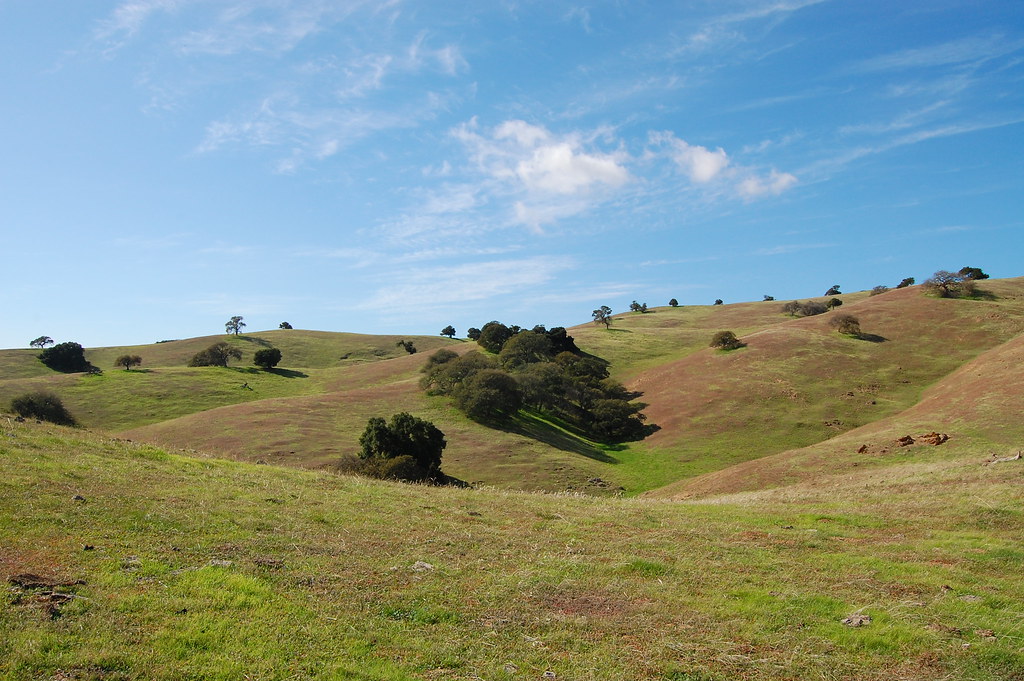 Diamond Spring TrailHiking · ~34 min drivePhoto: ilya_ktsn, CC BY 2.0 (via Flickr)
- Great Valley Grasslands State Park TrailHiking · ~28 min drive
- Canal TrailHiking · ~2 min drive
- South Boundary Loop TrailHiking · ~35 min drive
Best time to visit Canal Trail
Best months: October–May. Best months have typical highs of 55–85 °F, lows of 30 °F or warmer (32 °F where the station doesn't record snow), at most one snowy day and no more than 12 wet days.
Jan
56° / 39°
9 wet
Feb
62° / 43°
8 wet
Mar
68° / 46°
7 wet
Apr
73° / 49°
5 wet
May
81° / 55°
2 wet
Jun
89° / 60°
1 wet
Jul
95° / 64°
0 wet
Aug
94° / 63°
0 wet
Sep
90° / 60°
1 wet
Oct
79° / 53°
2 wet
Nov
66° / 44°
5 wet
Dec
56° / 38°
7 wet
Typical high / low (°F) and days with rain or snow, 1991–2020. Measured at Los Banos, CA, 0.8 mi away at 120 ft. Source: NOAA NCEI U.S. Climate Normals 1991–2020.
Map and trail data © OpenStreetMap contributors
