California · Hiking
Belmont Mine Trail
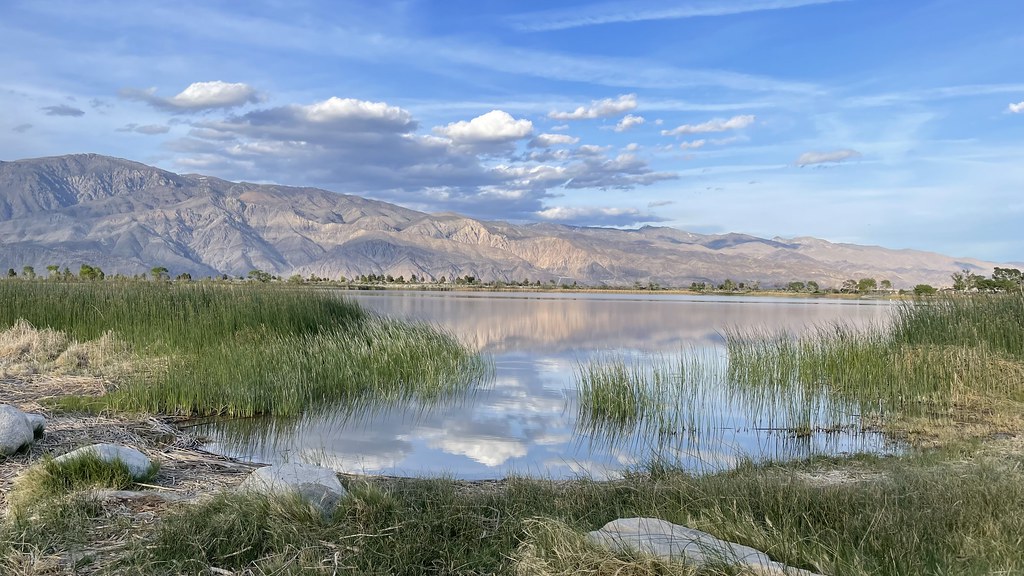
 Photo: QKC, CC BY-SA 3.0 (via Wikimedia Commons)
- 1.1 mi
- round trip
- 657 ft
- climb
- 8,859 ft
- high point
- Out and back
- route
Loading this week's forecast
Belmont Mine Trail is an easy out-and-back hike on Bureau of Land Management land in California's Ridgecrest Field Office, about 1.1 miles long with a total elevation gain of about 660 feet. The trip covers roughly 2.2 miles round trip, starting and ending at the high point of 8,859 feet, with the low point at 8,425 feet. The steepest stretch comes at about mile 1, with a grade of 18 percent. The route is short and straightforward, and the estimated time is about an hour. The nearest town is Ridgecrest. For more time on foot, the T30 Trail lies about 7 miles away.
Local outfitters
- Big Willi Mountaineering Company16 mi away
Not on Roamze yet. Their page has how to reach them.
Source: Roamze catalog (indexable pages within 10 miles, PostGIS distance)
 Dodd SpringsHiking · ~23 min drivePhoto: daveynin, CC BY 2.0 (via Flickr)
 Ubehebe PeakHiking · ~28 min drivePhoto: RuggyBearLA, CC BY 2.0 (via Flickr)
- The GrandstandHiking · ~28 min drivePhoto: RuggyBearLA, CC BY 2.0 (via Flickr)
 Cottonwood Canyon TrailHiking · ~31 min drivePhoto: Eeek, CC BY 3.0 (via Wikimedia Commons)
 Corridor CanyonHiking · ~32 min drivePhoto: RuggyBearLA, CC BY-SA 2.0 (via Flickr)
 Mulkey Pass TrailHiking · ~37 min drivePhoto: danhurt, CC BY-SA 2.0 (via Flickr)
 Alabama Hills TrailHiking · ~31 min drivePhoto: lamblukas, CC BY 2.0 (via Flickr)
- Mount NewcombHiking · ~38 min drivePhoto: danhurt, CC BY-SA 2.0 (via Flickr)
 Little Cottonwood CreekHiking · ~37 min drivePhoto: kalestews, CC BY 2.0 (via Flickr)
- Cottonwood LakesHiking · ~38 min drivePhoto: kalestews, CC BY 2.0 (via Flickr)
Map and trail data © OpenStreetMap contributors
