Belmont Mine Trail
- 4.4 mi
- round trip
- 2,628 ft
- climb
- 7,829 ft
- high point
- Out and back
- route
Belmont Mine Trail is a 4.35-mile hike on Bureau of Land Management land in California's Ridgecrest Field Office, about 4 miles from the town of Ridgecrest. The trail is an out-and-back that starts at an elevation of about 7,813 feet and climbs to a high point of 7,829 feet, with the steepest stretch coming just past the start at a 30% grade. The total elevation gain is 2,628 feet, and the route takes about four hours to complete. The climb is rolling and the trail is rated hard, with the biggest challenge coming in the early miles. Because the trail is an out-and-back, the total gain and loss are both about 2,628 feet, and the one-way distance is roughly half that. For another hike in the area, the T30 Trail lies about 9 miles away.
Local outfitters
- Big Willi Mountaineering Company18 mi away
Not on Roamze yet. Their page has how to reach them.
Source: Roamze catalog (indexable pages within 10 miles, PostGIS distance)
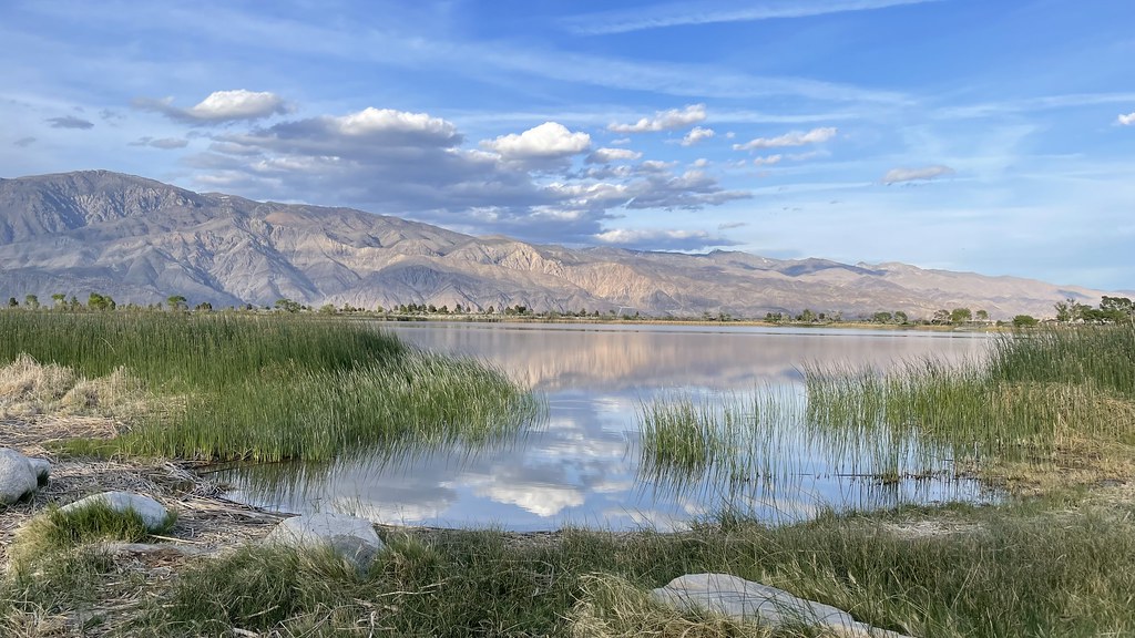
 Belmont Mine TrailHiking · ~4 min drivePhoto: QKC, CC BY-SA 3.0 (via Wikimedia Commons)
 Dodd SpringsHiking · ~21 min drivePhoto: daveynin, CC BY 2.0 (via Flickr)
 Ubehebe PeakHiking · ~26 min drivePhoto: RuggyBearLA, CC BY 2.0 (via Flickr)
 Cottonwood Canyon TrailHiking · ~34 min drivePhoto: Eeek, CC BY 3.0 (via Wikimedia Commons)
- The GrandstandHiking · ~26 min drivePhoto: RuggyBearLA, CC BY 2.0 (via Flickr)
 Corridor CanyonHiking · ~30 min drivePhoto: RuggyBearLA, CC BY-SA 2.0 (via Flickr)
 Mulkey Pass TrailHiking · ~40 min drivePhoto: danhurt, CC BY-SA 2.0 (via Flickr)
- Mount NewcombHiking · ~41 min drivePhoto: danhurt, CC BY-SA 2.0 (via Flickr)
- Darwin FallsHiking · ~33 min drive
 Upper Marble Canyon TrailHiking · ~37 min drivePhoto: ilya_ktsn, CC BY 2.0 (via Flickr)
Map and trail data © OpenStreetMap contributors
